Nearmap
ArcGIS Marketplace
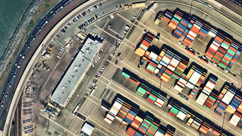
Vertical Imagery
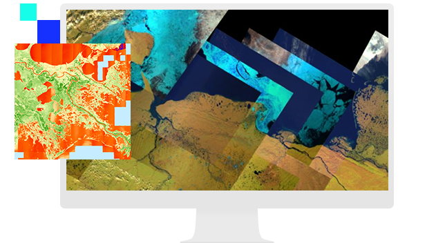
View and analyze the earth with authoritative imagery and raster data

Tap into Esri's collection of imagery basemaps for high-performance visualization and geographic context. Access the most recent, high-quality imagery within the World Imagery map—leverage desaturated Firefly imagery for overlaying and highlighting brightly styled feature layers, uncover past versions of World Imagery with Wayback, and more.

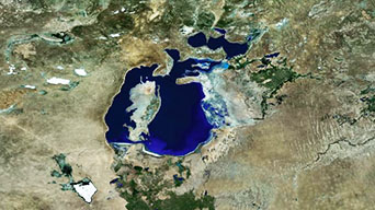
Regardless of your project, Esri can connect you with the spatial, spectral, and temporal resolution you need. Draw on Sentinel's wide range of multispectral, multitemporal bands to better explore the planet's geology, vegetation, and agriculture. Landsat offers decades of archived imagery for observation of change over time. Looking for imagery that is refreshed daily? Tap into Esri's Modis Layers for daily imagery updates.
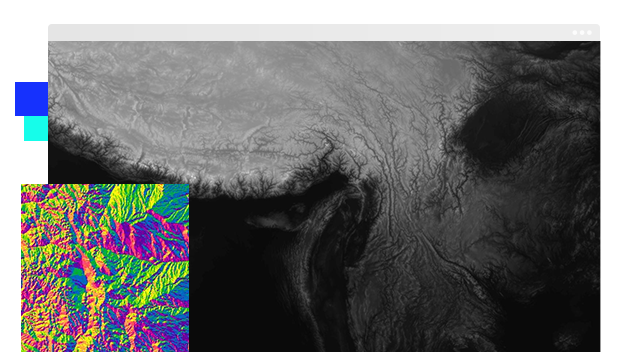
Derive slope and aspect, render 3D visualizations, and perform viewshed analysis. The Terrain service provides online access to a global collection of multiresolution and multisource elevation data and is the source from which all other Esri elevation services and renderings are derived. Elevation services include a rich collection of commercial and public domain community data with resolutions ranging from 1,000 meters down to 0.5 meters.