Youth Mappers is a movement that is galvanizing university students to change the world for the better by mapping it. The fledgling network of university-based mapping chapters is creating maps that will help United States Agency for International Development (USAID) projects that focus on increasing food security; preventing diseases such as malaria; and responding to natural disasters in Asia, Africa, the Middle East, Eastern Europe, Latin America, and the Caribbean.
Youth Mappers project director Patricia Solis at Texas Tech University calls it the Geospatial Revolution 2.0. “It’s more than a technical revolution—it’s something of a social revolution too,” said Solis. She described how students often pitch in and work on volunteered geographic information (VGI) projects aimed at helping developing countries respond to natural disasters or fight problems such as poverty, disease, and hunger. In the process, they learn about other places in the world and get the opportunity to connect to students from these areas.
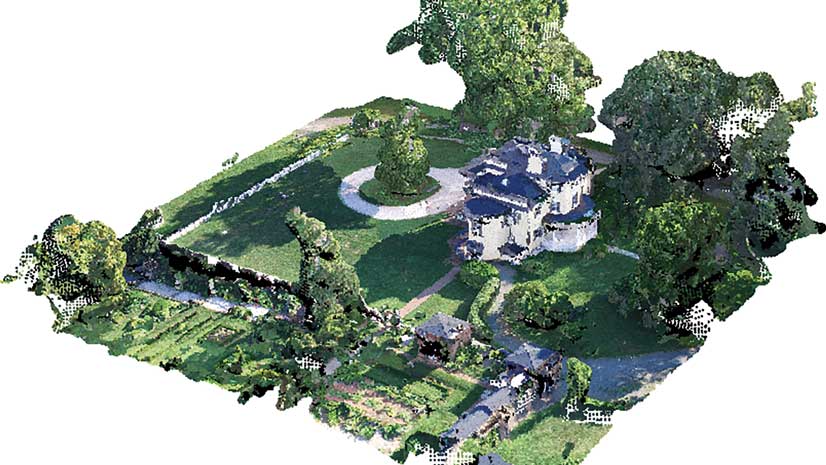
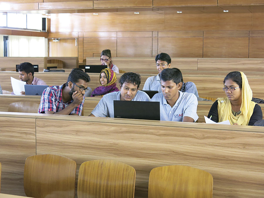
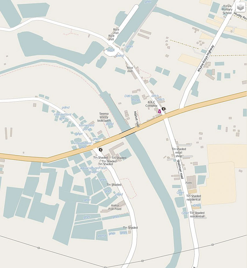
Last year, a chapter at Khulna University in Bangladesh and chapters in the United States at George Washington University and Texas Tech University collaborated to make a basemap of a rural community near Khulna, Bangladesh, where the US government’s Feed the Future initiative operates. Once the basemap was finished, the Bangladeshi students visited the area to collect detailed information such as the locations of bodies of water where high-protein fish and prawns are farmed. As part of efforts to improve food security, the map will help USAID better understand who has access to enough nutritious food to live healthy lives.
Students in developing countries know their communities and the land surrounding them well. They can add important information and a local perspective to maps, according to Carrie Stokes, director of GeoCenter, a USAID resource for expanding and institutionalizing the use of geospatial tools and analysis. (See “Mapping a Better World” on this page.)
“Many people in poverty feel they don’t have a voice in their own governance,” she said. “Give them a skill to define their world by mapping it [and] they feel empowered.”
Youth Mappers was formed under the auspices of the new Mapping for Resilience University Consortium. Julia Kleine, the Youth Mappers chapter president at Texas Tech University, said the group has great potential to help people in developing nations because of its international inclusiveness. “Youth Mappers gives people the opportunity to collaborate with students and youth from all over the world, ultimately creating a strong network of leaders in developed and developing nations that can face world issues together and be equipped with the tools to do so,” she said.
Most of the students who are drawn to Youth Mappers are those who have a drive for change and desire to give back to the world, said Kleine. This includes members who are international students from developing nations who are studying in the United States. Their reasons for getting involved are personal. They have experienced firsthand the struggles in the developing world and the lack of access to geographic data.
“If you can visualize the problems and visualize the solutions [with maps], that can bring us together to address development issues,” said Solis, who is also a research associate professor of geography at Texas Tech University.
Universities in the United States and in countries where USAID works are welcome to join the consortium. Students worldwide can participate in Youth Mappers chapters, mapathons, and research fellowships to create geospatial data for USAID projects in parts of the world where few maps exist. USAID awarded a $1 million grant in 2015 to the consortium.
The GeoCenter works with the consortium’s founding members, Texas Tech University, George Washington University, and West Virginia University, to build what Stokes calls a “virtual partnership” between students in the United States and students in developing countries. The cadre of international student mappers will then collaborate on making maps using OpenStreetMap (OSM).
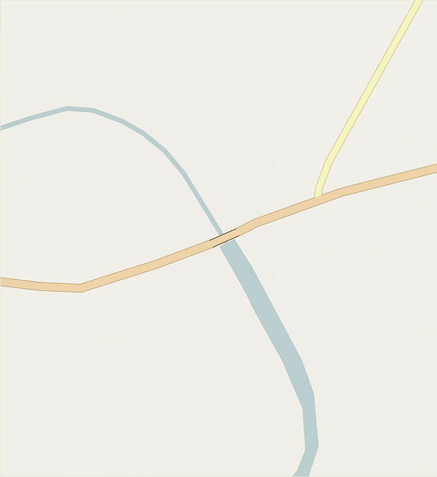
Students use high-resolution satellite imagery to map features such as roads, bodies of water, houses, and schools. Using OSM tools such as Field Papers or OpenMapKit, students who live in or near the cities or villages being mapped will go into the field to collect more detailed information to add to the maps, such as road names, the number of students at area schools, or the types of building materials used in houses. The information created by these projects is made available through OSM.
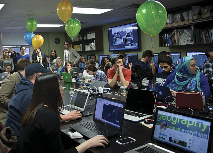
Texas Tech, George Washington University, and West Virginia University chapters have hosted several mapathons to build maps requested by USAID. The events, which offer free pizza and training, attract a diverse crowd that includes students from outside the GIS and geography realms.

In November 2015, these three chapters held a lively mapathon to create a basemap of the African seaport city of Quelimane, Mozambique. Using high-resolution imagery from USAID, the students competed to see which school could map the most features, including houses and roads. An estimated 26,000 buildings and more than 1,000 roads were put into OSM during that mapping effort. The map, now populated with roads and houses, will be used to plan an anti-malaria campaign there. It will help malaria prevention workers plan where and how much insecticide to spray. “If you short-change yourself by not having enough insecticide,” said Stokes, “it affects the efficacy of the entire effort.”
Stokes points to a successful collaboration in 2013 between students at George Washington University and students from Kathmandu Living Labs. The GeoCenter and the World Bank’s Disaster Risk Reduction team mapped the city of Kathmandu in earthquake-prone Nepal.
George Washington University used satellite imagery to trace roads, buildings, and other infrastructure. The map features were subsequently validated on the ground by Kathmandu Living Labs students who collected attribute data for those features.
When a magnitude 7.8 earthquake struck Nepal in April 2015, the George Washington University students enhanced the Nepal map on OSM, Stokes said. The GeoCenter downloaded the new map data onto GPS units that American search-and-rescue teams took to Kathmandu.
“It’s not just about tech. It’s really about making a difference in the world,” said Solis, who witnesses the enthusiasm among the students for these projects. “People care about people around the world when they know something about them,” she said.
And do they have fun? “We are talking about a gaming culture,” said Solis. “[Students] are motivated. They love the challenge of doing this. But most importantly, the learning potential for making real connections to other places and other students is profound. Youth Mappers not only builds maps, we also build mappers.”
Stokes knows that, in the years ahead, the work the GeoCenter does with the consortium to train and mentor the young mappers will be critically important. “We are not only creating the next generation of maps for USAID, but the next generation of mappers for the world,” she said.
For more information about the Mapping for Resilience University Consortium, contact mappers.vpr@ttu.edu. Get more information about the Youth Mappers chapters.