The Second Revolution
From initial exploration through acquisition and production to final divestiture, spatial information is key to any petroleum venture. As the science, engineering, and economic aspects of extracting and distributing petroleum evolve, geospatial tools and solutions are at the forefront of an ongoing revolution in the industry.
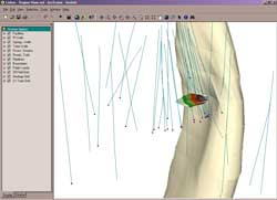 |
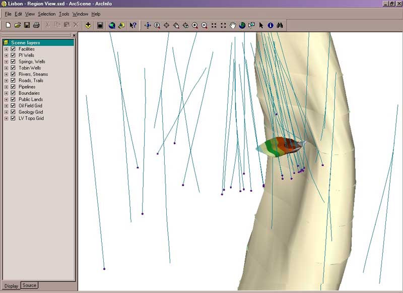
| Data courtesy of Eagle Information Mapping. The finger-like salt dome, originally created in ArcView 3.2 and rendered in ArcScene, shows formation onlap and deviated well bores. |
The results of this revolution are staggering--information derived from raw data has resulted in greater production and efficiency. Yet there is a second revolution on the horizon: as independent data stores grow exponentially, market forces drive businesses to build, manage, distribute, and utilize this information in new and innovative ways. Concerns over meeting rapidly growing demands for energy and accountability while strictly adhering to ever proliferating regulations requires supplying information to more users throughout organizations and across global networks.
However, petroleum companies are in business to find, produce, and sell oil--not process data. The future of the industry lies in interoperable data. Rich databases linked together and accessed through intuitive interfaces based on a geographic framework can make this a reality. Esri's industry-standard, scalable software and open Internet architectures can link global systems in one network.
Meeting the Needs of the Industry
Esri has completely rewritten its software to give managers simpler software to maintain, users a consistent look and feel across a software family that provides increasing functionality, and developers a new set of tools.
Esri software supports a variety of operational workflows. ArcSDE manages spatial data in database management systems. ArcGIS supplies the right tools on the desktop for data integration, analysis, and display. ArcIMS serves maps and data across Intranets and the Internet and allows communication with handheld devices in the field running ArcPad. Locating data inside or outside an organization became more efficient with the introduction of ArcIMS Metadata Services. Now users can easily publish and browse metadata.
These innovations localize data production and management and provide enterprise architecture for ubiquitous data access. Geographic and temporal components of data management can be fully integrated within this framework and data accuracy, integrity, and data access are optimized.
Optional ArcGIS extensions supply three-dimensional modeling, spatial analysis, and geostatistical analysis functionality. ArcMap, one of the ArcGIS Desktop applications, supports the high-quality cartography needed for mapping geologic and other types of data used by the petroleum industry. Maps produced in ArcMap can be shared online without re-creating them using the ArcIMS ArcMap Server extension. With ArcMap Server, data from geodatabases, coverages, CAD drawings, and shapefiles can be displayed via an ArcIMS client.
Maps with custom symbolization and other ArcMap features can also be shared with non-GIS users who have ArcReader. A free and easy-to-use product, ArcReader lets users view, explore, and print map files that have been created from ArcMap documents using the ArcPublisher extension for ArcGIS.
Each new release of Esri software brings significant enhancements. ArcGIS 8.2 provides powerful and easy-to-use dynamic segmentation tools. The release of ArcGIS 8.3 will add full topology to the geodatabase. ArcGIS ArcSurvey, an extension to the ArcGIS Desktop products, will represent survey measurements and observations on a map and manage survey data in a geodatabase.
Framework for a Global Economy
The Internet provides a new style of information architecture for petroleum organizations that promotes the exchange of information in a global economy. Esri's g.net architecture allows users to share GIS information from distributed sources through one comprehensive yet simple interface. Information maintained through a virtual global network is distributed to the desktop to meet specific needs.
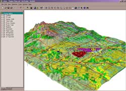 |
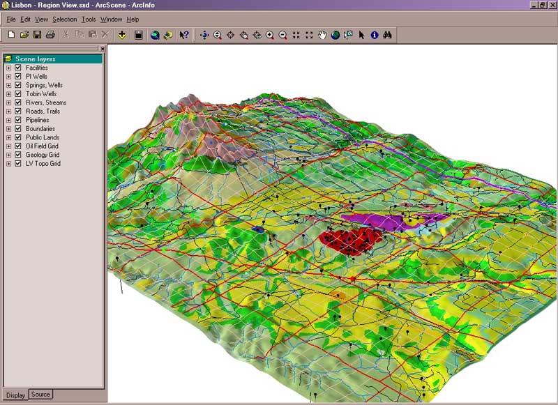
| Data courtesy of IHS Energy Model of a region showing natural and manmade features with boundary and geologic information. |
Implementing g.net in the petroleum industry means vendors can provide high-quality data, integrators can provide applications that use this data, and users can create custom portals for disseminating information throughout enterprises.
The Digital Energy Atlas and Library (DEAL), designed and operated by the British Geological Survey, provides an example of a g.net application that makes petroleum data accessible. Using ArcIMS, the DEAL Web site (http://www.ukdeal.co.uk) provides access to data on offshore exploration and production of hydrocarbons on the United Kingdom continental shelf through reference information and a multivendor data products catalog. This issue of ArcUser describes another g.net implementation by the U.S. Geological Survey (USGS) Central Energy Resources Team (CERT), which is providing National Oil and Gas Assessment (NOGA) results online.
Continued on page 2
|