Site Offers GIS Resources for Texas Counties
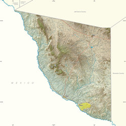 |
| Presidio County |
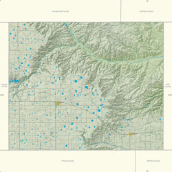 |
| Briscoe County |
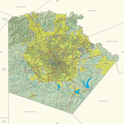 |
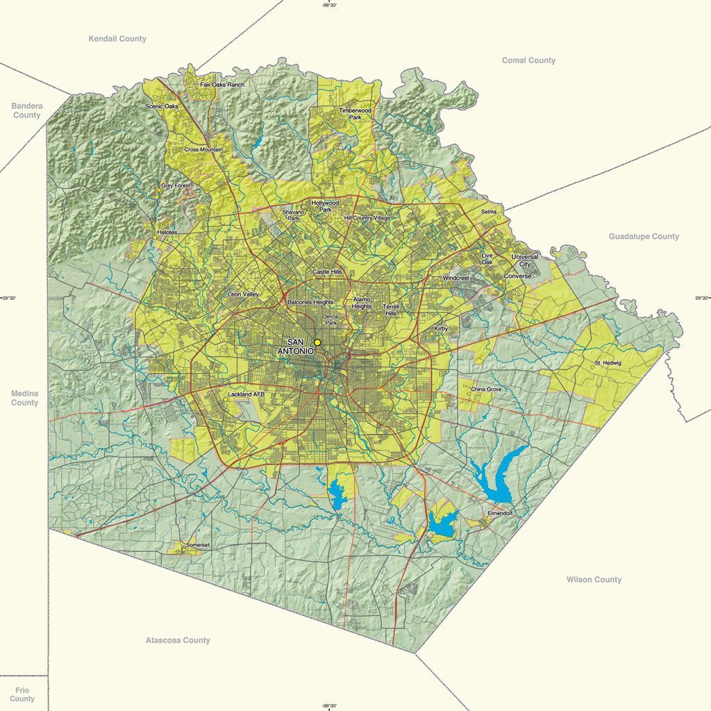
| Bexar County |
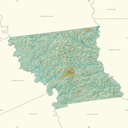 |
| Anderson County |
The Digital Atlas of Texas Counties was developed by the GIS Research Lab in the Geography Program at Texas Tech University in Lubbock, Texas, as an information resource for each of the state's 254 counties to support the production of county maps and Internet map services.
Although many of the larger urban counties in Texas produce a variety of digital map products, the state is largely composed of rural counties that have limited access to hardware, software, funding, and technical expertise. The Digital Atlas of Texas Counties (gis.geog.ttu.edu/ txcountyatlas/) addresses this problem by providing maps and an Internet map service for each county.
There are three versions of the atlas. The county basemap series is a set of reference maps created using the vector base layers for each county. The shaded relief map series adds a digital elevation model and hillshade to highlight topography. The satellite relief map series uses Landsat TM imagery to provide an overview of land use. Each map series contains 254 county maps produced in a 17- by 24-inch format, and all maps are available for download as JPEG or PDF files.
In addition to the three map series, the Digital Atlas of Texas Counties offers 254 interactive map services that can be linked to by each county. Each map service uses a custom ArcIMS interface and standardized symbology and labeling.
All atlas products are based on data available in the public domain: TIGER data from the United States Census Bureau; elevation data from the United States Geological Survey; and satellite imagery from TexasView, a consortium of institutions of higher learning dedicated to the advancement of remote sensing.
Both map services and county map documents use ArcSDE to access the geospatial data stored in a Microsoft SQL Server database.
These maps were created by Lucia Barbato, Robert DeBaca, Kiran Masapari, Kevin Mulligan, and Pradip Sahu of Texas Tech University. They appear along with many other outstanding maps in the Esri Map Book, Volume 20.
For more information, contact Kevin Mulligan, assistant professor of economics and geography at Texas Tech University, at kevin.mulligan@ttu.edu.
|