Fall 2009
Fall 2009 |
||||||||
|
|
||||||||
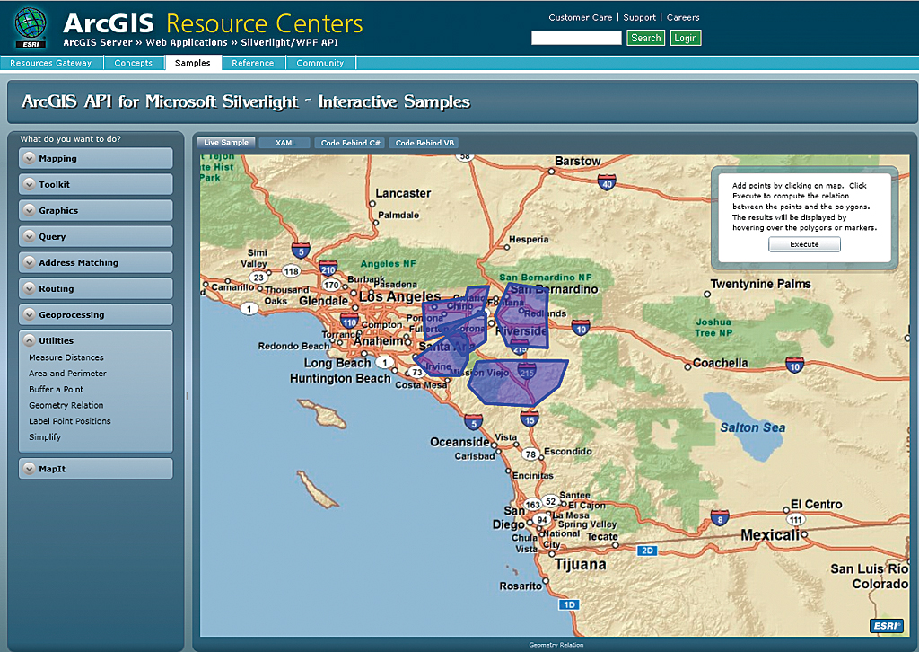
The Web mapping APIs help organizations deliver rich maps and GIS capabilities that are comparable to desktop mapping applications but with all the benefits of the Web. The APIs provide the tools to generate fast cross-browser and cross-platform dynamic maps, with the ability to interact not only with the map itself but also with its attributes and features. The APIs offer developers several platforms for creating Internet and desktop applications including technologies such as Microsoft Silverlight, Adobe Flex, and JavaScript. Often, GIS Web applications need to include geospatial functionality that goes beyond simple map display and interaction. For instance, an appliance repair company could use a geoprocessing task to generate drive-time polygons to estimate the total length of services calls, then use a routing task to calculate the routes and directions before dispatching a vehicle. For these types of functions, the APIs provide a set of task classes to perform GIS tasks. The APIs also allow graphics to be drawn on top of the map (e.g., multipoint, polyline, polygon, and rectangle). In addition, the APIs provide components to display maps that support multiple map projections, as well as both dynamic and cached (tiled) map services. With the APIs, developers can include a variety of tasks in their applications including query, identify, find, address locator, routing, geometry, and geoprocessing. Esri offers the following resources for developers to get started using APIs:
For more information, visit the Mapping for Everyone site, visit the Esri Resource Center or see the Esri instructor-led course Building Web Maps Using the ArcGIS API for JavaScript. |