
|
|
|||

Preserving Marine Environments
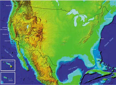 The National Marine Sanctuaries Program is the undersea counterpart of the familiar National Parks System. This program, dedicated to preserving, protecting, and if necessary rehabilitating selected marine sites, is administered by the National Oceanic and Atmospheric Administration (NOAA). It was created by the Marine Protection, Research, and Sanctuaries Act of 1972. Areas of great biodiversity, ecological integrity, and cultural legacy are chosen for designation. The 12 existing sanctuaries that protect approximately 18,000 square miles of ocean and coasts are shown on the map that spans these two pages. An additional site, Thunder Bay, Michigan, is scheduled to be designed in fall 1999.
Add a Dimension The map on this page was created using a methodology that allows it to be viewed as a holographic image as well as a conventional, flat image. This map will appear three-dimensional when viewed with micro-optic glasses. These recently developed glasses differ from red and blue 3D glass of the past, also known as anaglyph glasses in that they are clear and do not require a double image to achieve the three-dimensional effect. Normal two-dimensional images have x and y coordinates. With this new technology, color is used to encode the z or depth dimension into an image. Special micro-optic glasses play the image back into the wearer's eyes.
|