

Facility and space management: IBM TRIRIGA
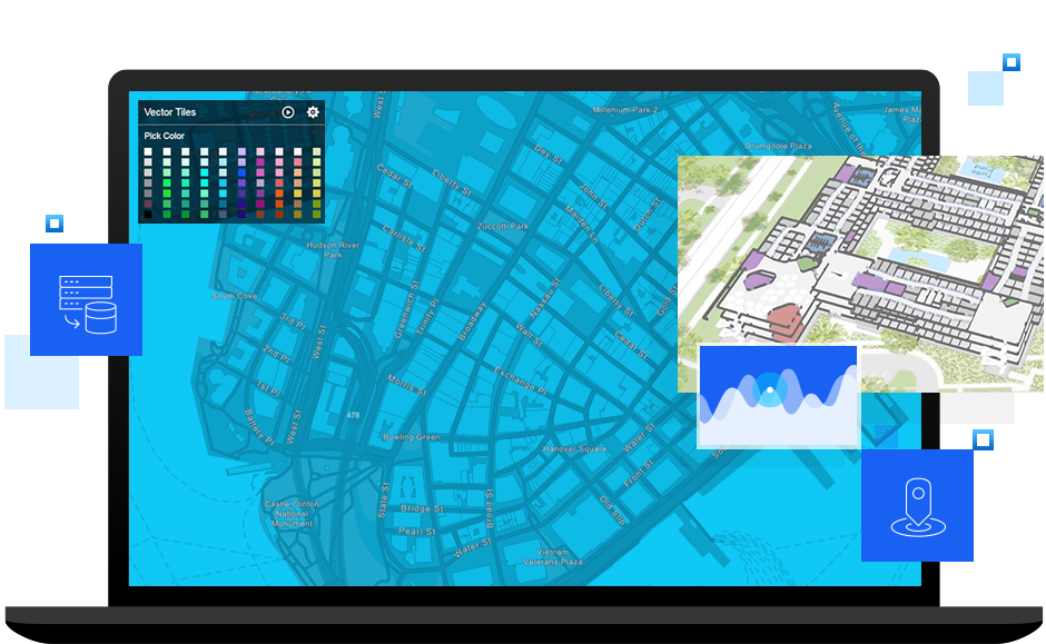
IBM TRIRIGA with Esri ArcGIS Indoors provides your employees with a great workplace experience, enables effortless wayfinding across your workplace, and allows easy location of facilities' accommodations and other amenities on easy-to-use, interactive maps.


