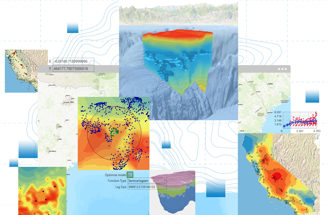
ArcGIS Geostatistical Analyst complements Spatial Analyst. Most of the interpolation methods available in Spatial Analyst are represented in ArcGIS Geostatistical Analyst as well, but in Geostatistical Analyst, there are many more statistical models and tools, and all their parameters can be manipulated to derive optimum surfaces. Additionally, Geostatistical Analyst provides exploratory spatial data analysis tools not available in Spatial Analyst, such as an interactive wizard that simplifies the interpolation process and provides users with surface previews before applying them. Spatial Analyst has many functions in other areas, such as map algebra, combinational operators, and data conversion.
ArcGIS Geostatistical Analyst expands the number of deterministic and geostatistical interpolation methods and provides many additional options. In particular, Geostatistical Analyst provides a variety of different output surfaces such as prediction, probability, quantile, and error of predictions. Surfaces can be displayed as grids, contours, filled contours, and hillshades or any combination of these renderings. These surfaces can be exported in raster and shapefile formats for working together with other extensions such as ArcGIS Spatial Analyst. ArcGIS Geostatistical Analyst also includes an interactive set of exploratory spatial data analysis tools for exploring the distribution of the data, identifying local and global outliers, looking for global trends, and understanding spatial dependence in the data.