Geospatial features
ArcGIS supports all the common vector data types and formats to serve up points, lines, and polygons, such as the following:
- Geodatabases
- Spatial databases
- Shapefiles
- GeoPackage
- GeoJSON
- KML
- JSON
- XML
- SDTS
- OGC Web Services
Data interoperability ensures that you can access and store GIS data types in the formats you already use. ArcGIS works directly with the most common data sources, widely implements open standard formats, and provides the ArcGIS Data Interoperability extension for unique transformation needs.
For all other data or storage types, the ArcGIS Data Interoperability extension connects hundreds of different files, databases, cloud and web services, feeds, and more to ArcGIS without any coding. Freely leverage vector, raster, text, tabular, markup, notation, binary data, and more.

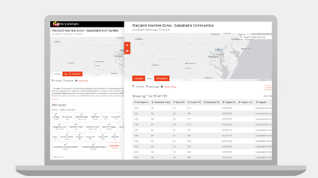
Esri provides government customers and data owners several easy ways to share and edit authoritative public data.

ArcGIS Hub

Esri Community Maps Program
ArcGIS provides easy access to authoritative public data provided by customers, partners, and the OpenStreetMap community.
Search for data
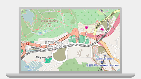
OpenStreetMap
Sign up for news about Esri's open, flexible, and interoperable system.