White House Releases New Climate Data Portal
In September 2022, the White House debuted the Climate Mapping for Resilience and Adaptation (CMRA) portal. This portal brings together critical climate data in one place where it is easy to find and visualize on maps, in charts, and in reports. Anyone can access the data, from city planners and resilience officers to tribal leaders and residents.
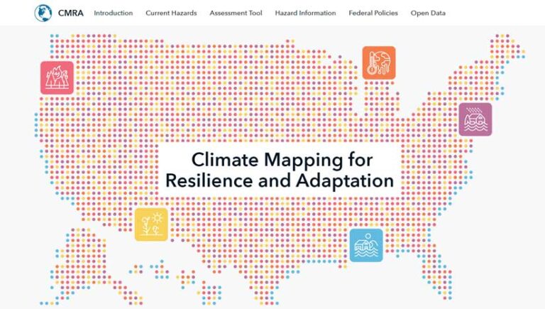
Built through a collaboration between the White House and Esri, this portal can help cities, counties, states, tribes, and territories make better decisions about where and how to take action. A dashboard monitors the climate-related hazards that affect communities each day. Site visitors can see where there are extreme heat advisories, active wildfires, coastal flooding warnings, and other threats.
The CMRA Assessment Tool lets users explore scenarios based on current and projected climate conditions in locations across the United States. CMRA can be used to learn how to prioritize resilience-building actions and find programs that offer compatible funding. CMRA provides links to federal funding resources, federal climate policies, and proven solutions from other communities. The portal also displays a curated collection of open datasets related to extreme heat, drought, wildfires, flooding, and coastal inundation. Users can combine this data with local geospatial data or incorporate it into their assessment tools to configure new maps and apps that address local needs. To start exploring CMRA, go to resilience.climate.gov.
Location Intelligence to Inform Rebuilding of US Infrastructure
To support the goals of the $1.2 trillion Bipartisan Infrastructure Law to rebuild aging infrastructure in the United States, Esri has renewed a joint venture partnership with the US Department of Commerce’s National Technical Information Service (NTIS). The agreement supports innovative joint venture projects throughout the federal government to make data more accessible and transparent.
NTIS helps federal agencies make better decisions by providing the support and structure that helps partners securely store, analyze, sort, and aggregate data. Through the Joint Venture Partnership (JVP) program, NTIS leverages its private sector partners’ knowledge to create new ways of using data to solve problems. Esri technology is helping government organizations take a geographic approach to solving complex issues that often reach a national and global scale.
Building a Sustainable Rail Infrastructure in the European Union
Esri and RB Rail AS, a joint venture, signed an enterprise agreement to integrate GIS software across all Rail Baltica project units. Rail Baltica is a rail transport infrastructure project that will include five European Union (EU) countries—Poland, Lithuania, Latvia, Estonia, and (indirectly) Finland. The project’s purpose is to provide sustainable passenger and freight service between participating countries and improve rail connections between central and northern Europe. GIS will be used to help engineers plan, construct, and manage maintenance tasks to make improvements. ArcGIS will be used as a connection hub, and all asset data will be stored and handled in a unified spatial database.
The system will also serve as a foundation for implementing the Rail Baltica digital twin, a virtual model of the railway’s entire operational infrastructure. The holistic geographic approach that the new GIS will bring also allows railway personnel to make necessary adjustments in near real time and plan routes to be less environmentally impactful. Creating this digital twin will help build a sustainable European infrastructure network.