Featured
From showcasing innovative technology to connecting people, the 2025 Esri User Conference proved that GIS is driving meaningful change.
 Public Safety
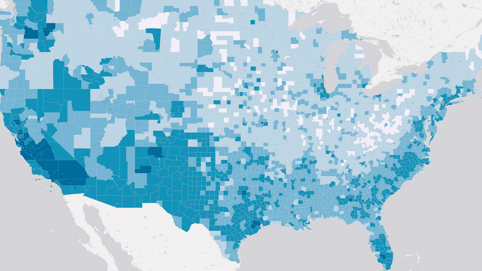
CalHeatScore—a first-of-its-kind system—ranks heat risk on a scale from 0 to 4 at the ZIP code level, helping people know when it’s too hot.
 Collaboration
Esri’s Map Africa initiative has two new key partners, and there’s a new e-commerce experience in the Esri Store for demographic data.
 Esri Young Professionals Network
Esri’s Young Professionals Network celebrates a decade of empowering early-career GIS professionals.
 ArcGIS Pro
Join the ArcGIS Pro assistant early adopter community to help create a tool that simplifies workflows and empowers more users.
 ArcGIS Online
Find out which data management strategy is best depending on how often data gets updated, where it originates, and other key factors.
 ArcGIS Living Atlas of the World
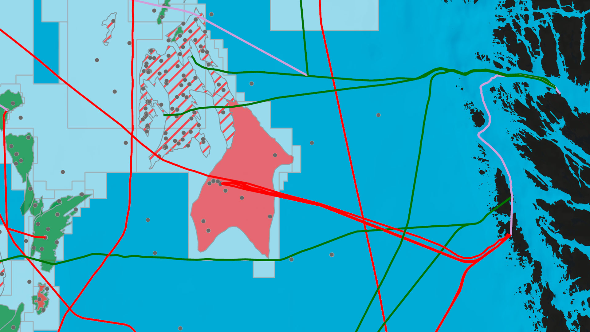
ProtectedSeas, a pioneering project that maps and shares global ocean protection data, is now part of ArcGIS Living Atlas of the World.
 Disaster Response
The Palisades and Eaton fires consumed more than 16,000 buildings and vehicles. What of those metals, toxins, and plastic remains?
 Demography
The US Census Bureau’s International Database is a vital resource for global demographic trends—and it employs the latest GIS technology.
 Disaster Response
After a record-setting snowstorm hit Oswego County, New York, county staff used GIS to coordinate and prioritize requests for help.
 GIS Hero
Throughout his GIS career, Anthony Powell has helped modernize Houston Public Works—while building a culture of trust and innovation.
 Scientific Currents
For disaster-prone nations, spatial analysis and effective data sharing are crucial for climate mitigation, adaptation, and resilience.
 From the Meridian
Locational data has the dual capacity to empower and harm. Here’s how to put ethics and accountability front and center.
 Esri Startup Partners
Johns Creek, Georgia, deployed Konveio’s Plan Hub—an AI-powered, geospatially enabled framework built on ArcGIS Experience Builder.
 Esri Partners
Build a national atlas? Centralize data and move it to the cloud? Show families their school enrollment options? Esri partners do it all.
 GIS
GIS
The PreGISP program is for GIS professionals at the beginning of their careers to show their dedication to the industry.

