ArcGIS Runtime SDKs 100.6, released in August, is a milestone for ArcGIS Runtime SDKs both in capabilities and how Esri plans content for releases.
With 100.6—also called update 6—Esri introduces a track-focused road map for ArcGIS Runtime. The three tracks for this update are utilities, defense and public safety, and platform support. While these tracks were the drivers behind adding various capabilities to ArcGIS Runtime, in most cases, the new capabilities can be applied far beyond the specific track that helped bring them to life.
Utilities
This is the big one! With update 6, ArcGIS Runtime gains the first phase of support for the utility network. It also boasts improved annotation support, better integration of navigation, more ways to work offline, and fresh-out-of-beta augmented reality (AR) capabilities.
Support for Utility Network
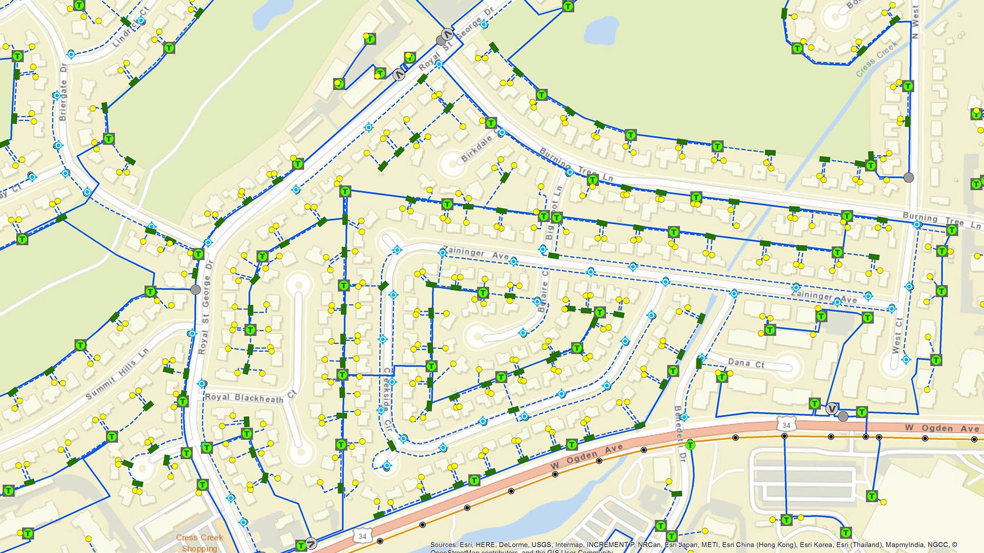
Since the introduction of the utility network to the ArcGIS platform, many Esri users have asked for tools they can use to access and work with their utility network data in mobile field solutions. Update 6 is the first step in providing those tools.
Esri now delivers APIs that can read network element attributes, such as the voltage capacity and whether switches are open or closed. These APIs can also describe associations between network elements and their geographic features, which is helpful when, for example, a switch with many terminals is represented by a single point on the map.

Update 6 also introduces network tracing. Users can set one or more starting points on their network—at a junction or terminal or somewhere along an edge—and, as an option, specify any number of barriers and then perform a trace. Traces are extremely fast, too.
As of this release, all utility network capabilities in ArcGIS Runtime are service based and require a network connection. In subsequent releases, Esri will be adding more utility network functionality, including the ability to work offline.
Improved Annotation Support
Both annotations and reference scale are important for utilities that represent their networks on maps. Together, these capabilities allow mapmakers to specify precisely how text looks as users zoom in and out. These were added to the ArcGIS Runtime SDKs at update 5 as a sneak peek at what would be released in the utility track.
At update 6, users can now take annotation services offline, which is great for working in areas with variable network connectivity. Esri will continue to expand these capabilities over the next few releases.
Easier Navigation Integration
Another new capability that was driven by Esri’s utility users but that has a broad range of applications is the navigation API.
ArcGIS Runtime has long been able to deliver turn-by-turn directions, both when connected and when offline, but developers have had to write a fair bit of custom code to provide an interactive navigation experience. The new navigation API makes it easy to integrate navigation directly into ArcGIS Runtime apps.
This first release provides APIs that alert app users of upcoming maneuvers, detect when users have wandered off route, and automatically reroute them if need be (but for now, only when using local datasets). Use of the navigation API in a production app does require a Basic level (or higher) ArcGIS Runtime license.
Enhanced Offline Capabilities
Update 6 also introduces several improvements to working offline—another capability that was driven by the utilities track but is applicable to so many other situations.
The new scheduled updates capability augments preplanned offline workflows by generating and storing periodic, read-only data changes on the server so they’re ready for clients to download. An ArcGIS Runtime app can then check the server to see which updates will make it current, download them, and apply them in sequence. This brings the performance benefits of the preplanned offline workflow capability—including being able to generate an offline map once and distribute it broadly without taxing the server—to data updates.
Augmented Reality Is Now out of Beta
For the past year, more than 300 customer development teams have worked with Esri’s AR beta program, and those capabilities are now being brought out of beta. With update 6, ArcGIS Runtime is AR-enabled for iOS and Android devices.
It was clear that delivering a truly exceptional AR experience across a range of use cases would require customization, configuration, and calibration. To support that, Esri will be providing open-source toolkit components to help build tabletop (small, model-like versions of a map or scene), flyover, and full-scale AR experiences.
Defense and Public Safety
Defense and public safety organizations often have specific—and critical—rules about how their maps are styled. Military symbology, for example, has to be broad, flexible, and information rich yet highly readable and immediately recognizable. Additionally, since these organizations usually can’t adopt external authentication and security patterns, they generally require apps to integrate with their existing patterns. Update 6 addresses both of these matters.
Symbology Powered by ArcGIS Arcade
With update 6, Esri introduces improved support for military symbology—and this is being built into the ArcGIS platform, not just ArcGIS Runtime. This refreshed, customizable solution accesses symbols in a style file and is powered by ArcGIS Arcade.

While this supports defense users’ needs, it also exposes complex, attribute-driven rendering for use in any kind of app. For example, with a little Arcade customization, an app could display restaurants with symbology that shows not only their locations and types but also their customer ratings, when they’re open, and if they’re kid-friendly.
More Support for OGC
Many services that are published according to Open Geospatial Consortium, Inc. (OGC), standards use parameter-based authorization schemes for access, and that affects a number of defense and public safety organizations. Esri now supports using these authorization keys—and, for that matter, any custom parameters—for Web Feature Service (WFS) layers, Web Map Service (WMS) layers, and Web Map Tile Service (WMTS) layers.
Update 6 also adds creation and editing capabilities to Keyhole Markup Language (KML) files. This means that users can now modify a KML file or author one from scratch, save it, and share it with others directly from an ArcGIS Runtime app. Creating and editing a KML file in a production app does require licensing ArcGIS Runtime at the Standard level (or higher).
Platform Support
In addition to the updates focused on utilities and defense and public safety, Esri has released some other capabilities that were driven by the needs of the ArcGIS platform as a whole. Highlights of these include the following:
- Mobile map packages now support group layers.
- ArcGIS Runtime opens WFS layers from a web app.
- Users can now identify and select features in a point scene layer.
- Scene layers, feature layers, and graphic overlays can have a vertical offset defined for use in a scene.
Esri has also fixed multiple bugs in ArcGIS Runtime and made some big improvements to performance and memory usage—in particular, with dictionary renderers, Arcade, and working with mobile map packages.
Download and Get Started
There is a lot of important and foundational new technology in update 6 of ArcGIS Runtime SDKs, much of which is only the start of what the team has planned.
To get 100.6, go to the ArcGIS for Developers website, look for the ArcGIS Runtime SDK you want, go to its web page, and download the SDK. If you’re new to developing with ArcGIS Runtime and don’t have an ArcGIS Developer subscription, sign up for a free account and get access to everything you need to create your app, including tutorials, samples, and rich documentation.