Danish Geodata Agency Selects Esri Platform to Chart Waters
Esri has been selected by the Danish Geodata Agency (GST) to build a whole new system for creating and maintaining nautical charts of Danish and Greenlandic waters. With new shipping routes opening in the Arctic due to melting ice, it is crucial to have accurate charts in support of safe navigation and environmental protection. By partnering with Esri and its official distributor in Denmark, Geoinfo A/S, GST expects to produce charts of Danish waters more efficiently and be able to share information across departments and multiple agencies. Learn more about how Esri is modernizing maritime charting.
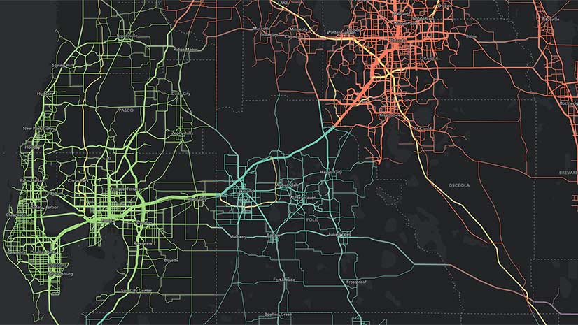
ArcGIS Hub Helps Government Agencies Meet New Open Data Requirements
In compliance with the new federal Foundations for Evidence-Based Policymaking Act, Esri’s ArcGIS Hub enables federal agencies to share data in open formats with only a few clicks. They can also then feed those data catalogs directly to data.gov, the government-wide website supported in the bill. Find out more about ArcGIS Hub.
ArcGIS for Developers Gets Relaunched
Esri recently relaunched ArcGIS for Developers to make it more accessible and affordable. There is a new pay-as-you-go plan for all location-based services, the price of routing transactions has been decreased, and there is a new commercial app deployment experience.