One App Speeds and Simplifies Mobile Work
A new mobile app, ArcGIS Field Maps, gives mobile workers a single app that can perform multiple critical field activities.
A new mobile app, ArcGIS Field Maps, gives mobile workers a single app that can perform multiple critical field activities.
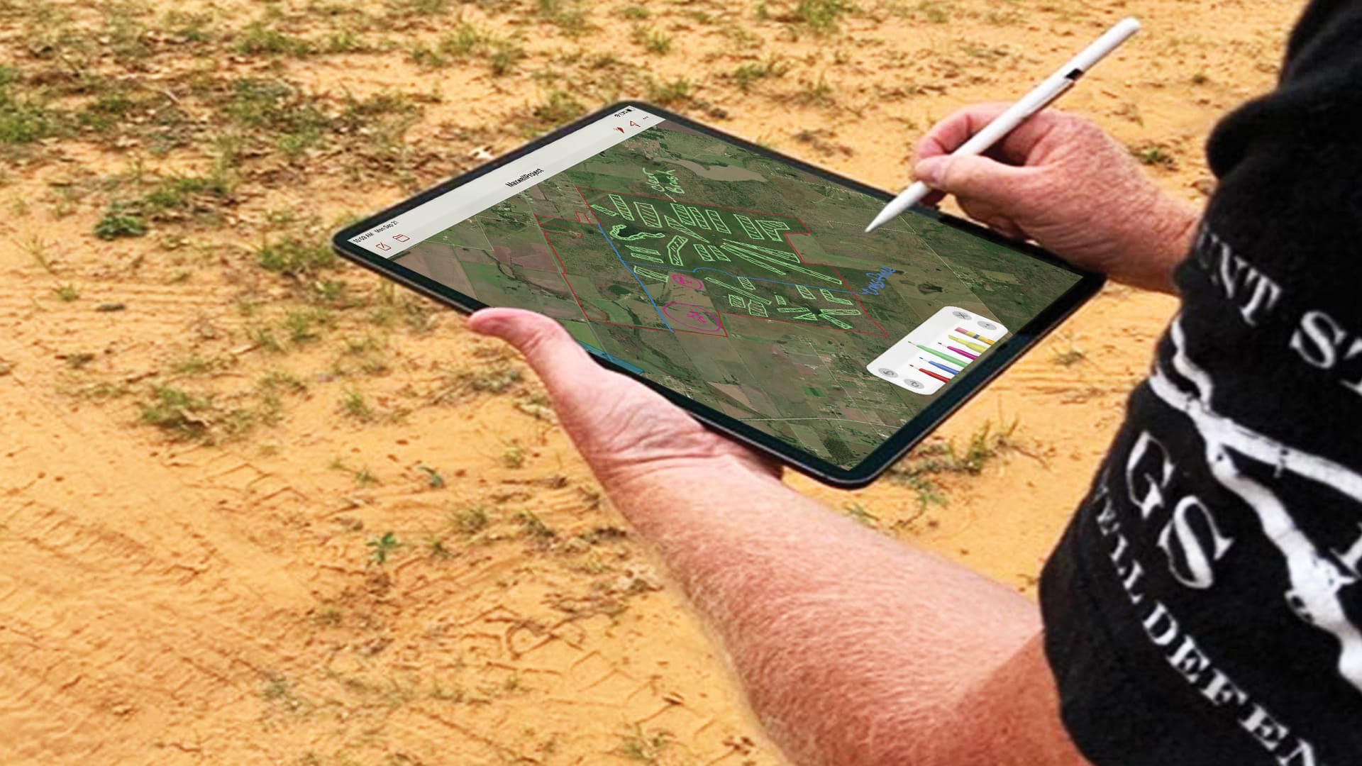
Spring Creek Outdoors, LLC, set out to find a user-friendly way to access maps in the field and annotate them.
Tolko woodlands operations supervisor looks for new technology to help the team increase productivity and meet demand for raw logs at mills.
With these enhancements, users in disconnected environments can stay just as organized as everyone else.
For a recent local election, Kane County, Illinois, used ArcGIS apps to provide more efficient IT support to 121 polling stations.
Location-based surveys and dashboards helped citizens, local agencies, and international organizations work together.
Tracker for ArcGIS is available in ArcGIS Online, allowing more organizations to bridge the gap between field personnel and office staff.
Esri provides geospatial content to Salesforce Maps, expands its drone imagery offering, and helps Mozambique modernize land administration.
The office increased efficiency and data quality by implementing custom mobile data collection, data management, and reporting tools.
A recent update to Navigator for ArcGIS brings more location intelligence from the ArcGIS platform directly to drivers and field crews.
The information services department used Operations Dashboard for ArcGIS to improve how service requests from citizens are handled.
Using ArcGIS QuickCapture, King County, Washington, gets improved information about invasive plants.