As Oceans Change, Dynamic Data and Technology Pave the Way Forward
The Fisheries and Climate Toolkit brings together data sources and employs ArcGIS Hub to foster collaboration among various stakeholders.
The Fisheries and Climate Toolkit brings together data sources and employs ArcGIS Hub to foster collaboration among various stakeholders.
Staff at Marion County Public Works set up an ArcGIS Hub site to engage with the community and spotlight ongoing sustainability initiatives.
A city in the Czech Republic used ArcGIS Hub to enable widespread use of dynamic city data in a variety of projects and systems.
URISA supports climate resilience and addressing climate change impacts through geospatial solutions, workshops, and resources.
A pioneer in GIS, Metro—the area’s metropolitan planning organization—is using ArcGIS Hub to democratize access to authoritative data.
Interactive web maps let site visitors analyze poverty, childcare deserts, and health-care access to better aid youth in South Carolina.
A new Vision Zero DC website, built using ArcGIS Hub, helps the city work closely with community members to transform transportation safety.
The country now has a set of authoritative maps that officials can use to monitor objectives and set initiatives for the next 50 years.
A comprehensive ArcGIS Hub site aggregates data on waterways, making it accessible to the public and easier to use for collaboration.
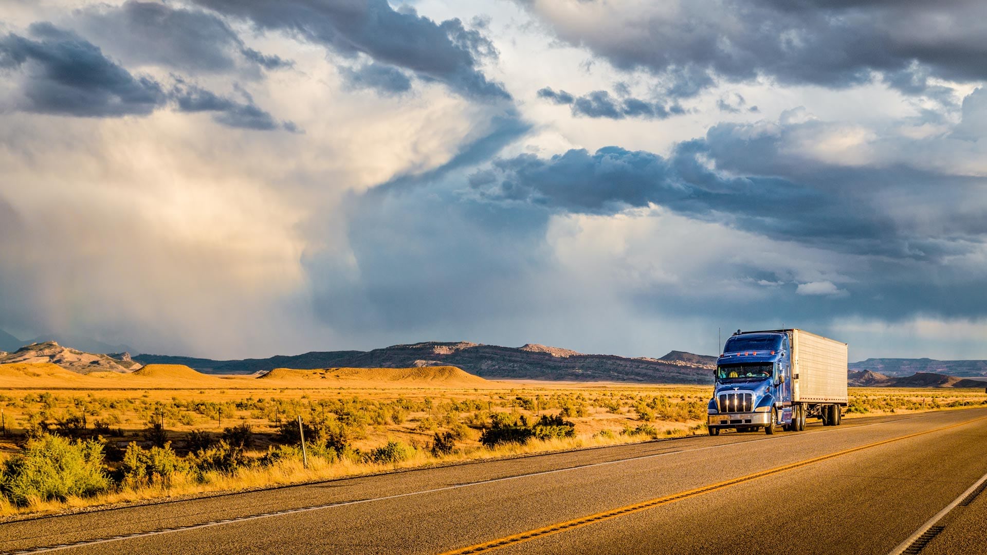
Truck drivers now have easier access to map-based information about commercial vehicle restrictions, such as height and weight limitations.
Recent enhancements to ArcGIS Hub make it easier for people to examine and use data shared as services within the context of hub sites.
Open science is a global movement to make scientific research open and accessible. Organizations can use ArcGIS Hub to increase engagement.