Cloud-Based National Parcel Layer Grants Users Access to Greater Detail
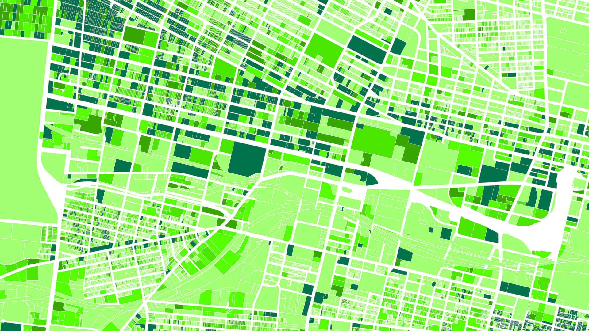
ParcelAtlas, available in ArcGIS Marketplace, is a frequently updated cloud-based cadastral content service for use with ArcGIS technology.
ParcelAtlas, available in ArcGIS Marketplace, is a frequently updated cloud-based cadastral content service for use with ArcGIS technology.
Clay County, Minnesota, uses the Parcel Lineage app from the ArcGIS Marketplace to easily store and retrieve property records.
Three Esri startup partners use ArcGIS to track web map navigation, evaluate pavement conditions, and automate compliance documentation.
Voter Gravity used during the 2014 mid-term elections to locate potential voters and direct canvasing activities.
At the 2015 Esri Federal GIS conference in February, Esri announced that the newly launched Hexagon Imagery Program, which provides ready-to-use
ArcGIS Marketplace is a new website that allows ArcGIS Online subscribers to search for, discover, and get apps and data from qualified...