Mobile GIS Apps Help Citizen Scientists Guide Oil Spill Cleanup
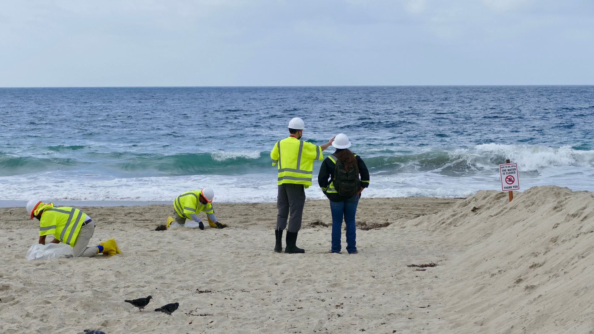
After 25,000 gallons of crude oil spewed into the Pacific Ocean, the Surfrider Foundation leveraged location to streamline data collection.
After 25,000 gallons of crude oil spewed into the Pacific Ocean, the Surfrider Foundation leveraged location to streamline data collection.
A cycling organization accurately maps mountain biking trails in Québec, Canada, using ArcGIS QuickCapture and high-accuracy GNSS receivers.
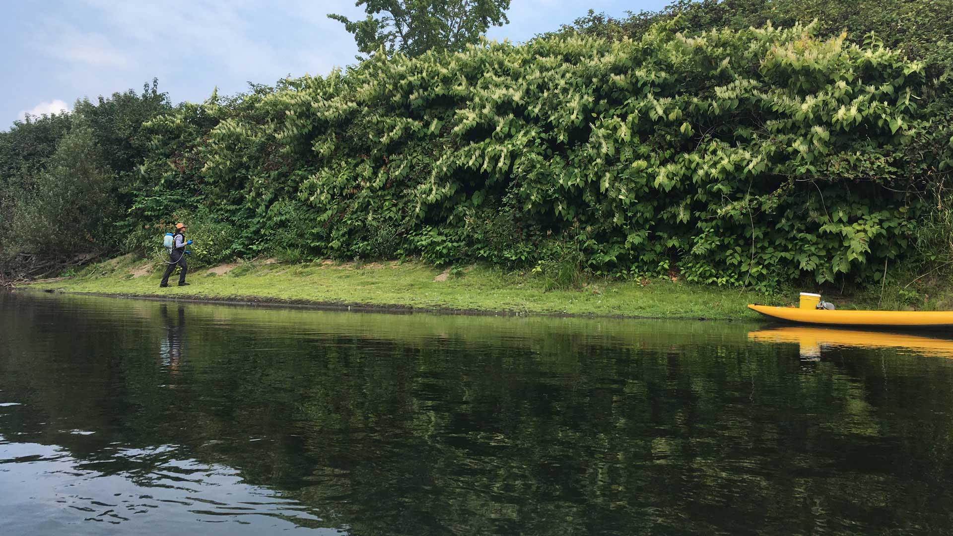
Using ArcGIS QuickCapture, King County, Washington, gets improved information about invasive plants.