Leading Cosmetics Company Manages Complex Supply Chain with GIS
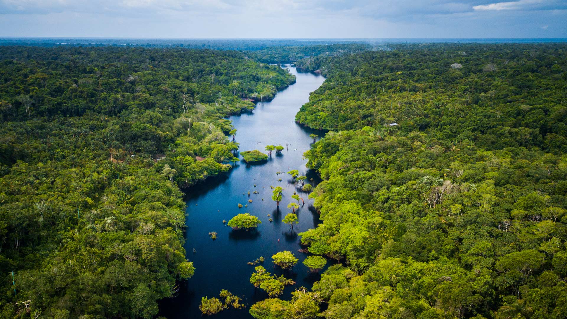
Natura &Co partners with traditional communities to equitably access natural resources while preserving the Amazon’s biological diversity.
Natura &Co partners with traditional communities to equitably access natural resources while preserving the Amazon’s biological diversity.
Endangered species in a South Africa province are protected with the help of ArcGIS Survey123 and ArcGIS Field Maps.
An early love of the sciences led Breece Robertson to a GIS career and to the creation of ParkScore, a database that scores US park systems.
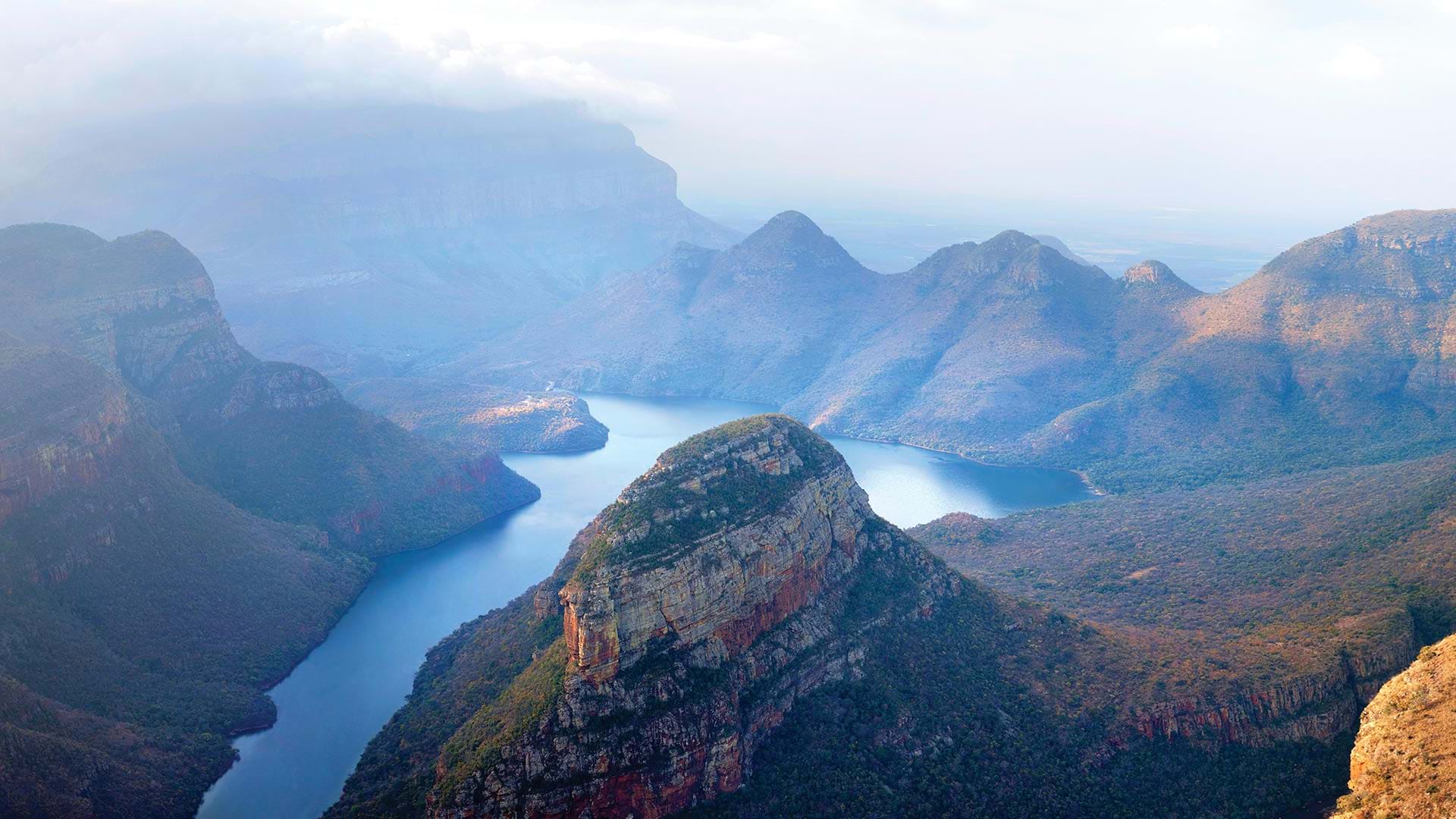
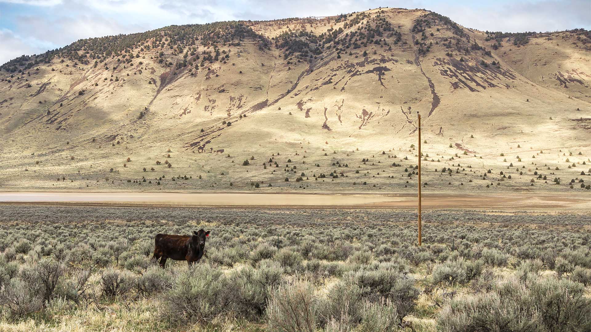
Researchers integrate relational databases with GIS technology to show geothermal energy potential in North America’s Great Basin region.
The Alabama Forestry Commission leverages ArcGIS StoryMaps to showcase the state’s work to protect and manage forest resources.
The office increased efficiency and data quality by implementing custom mobile data collection, data management, and reporting tools.
In Queensland, Australia, a computer vision model was trained to automatically classify different types of land use.
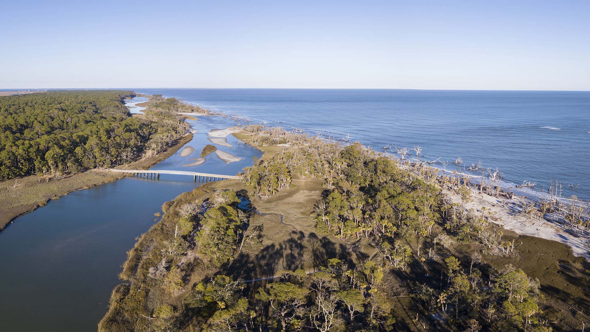
To better manage nonenergy marine minerals like sand and gravel along the US’s outer continental shelf, BOEM created a new GIS solution.
To tackle the complex problems associated with climate change, The Nature Conservancy is revolutionizing its approach to conservation.
As veteran geologists began to retire, the Wyoming State Geological Survey turned to the ArcGIS platform to update how it produces maps of the st
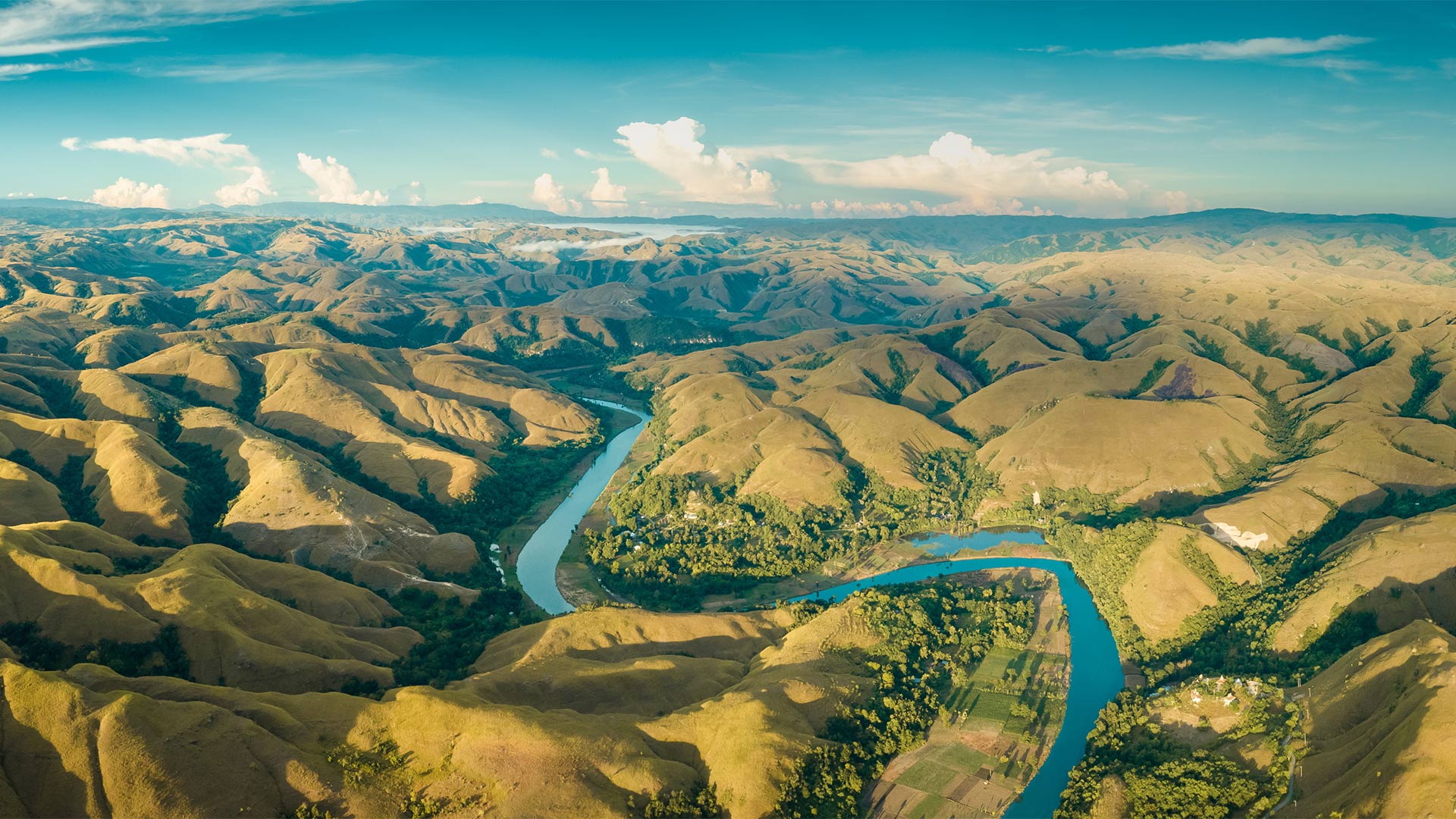
Using GIS, the Democratic Republic of the Congo gained its first highly protected wilderness area since 1970.
One of the ways Esri encourages geospatial innovation is by helping newly launched businesses add location analytics to their products...