In Baton Rouge, Dashboards Give Citizen Service Calls Perspective
The information services department used Operations Dashboard for ArcGIS to improve how service requests from citizens are handled.
The information services department used Operations Dashboard for ArcGIS to improve how service requests from citizens are handled.
Deploying Workforce for ArcGIS and Operations Dashboard for ArcGIS has given North Augusta a clear and thorough view of fieldwork processes.
For property tax assessors, operational and analytical dashboards are a great way to keep people informed so they can make good decisions.
Using ArcGIS Online, the Michigan Department of Transportation cleaned graffiti off 76 highway signs in 35 days.
With the risk of terrorism and public violence growing in certain parts of the world, emergency responders face an immense challenge: to get...
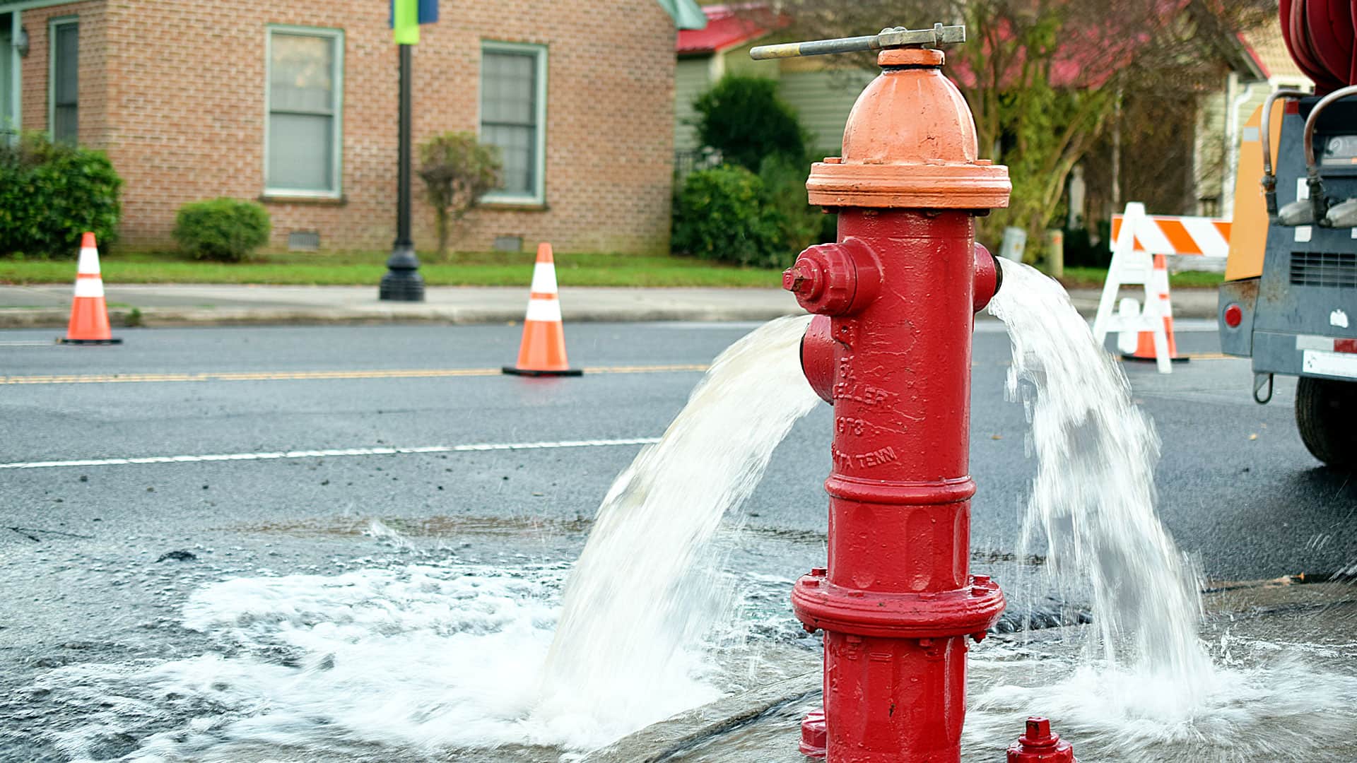
On the night of December 14, 2016, as an ice storm tore through Eugene, Oregon, the cacophony of fracturing and crashing trees was the call to…
According to the National Weather Service, 2013 was the driest calendar year on record since 1877.
How Harford County, Maryland, transformed its field-based workflows.
ArcGIS Enterprise is revolutionizing how Minnesota’s Three Rivers Park District manages land, people, and projects.