Landsat Explorer: Traversing Time and Geography with Remote Sensing
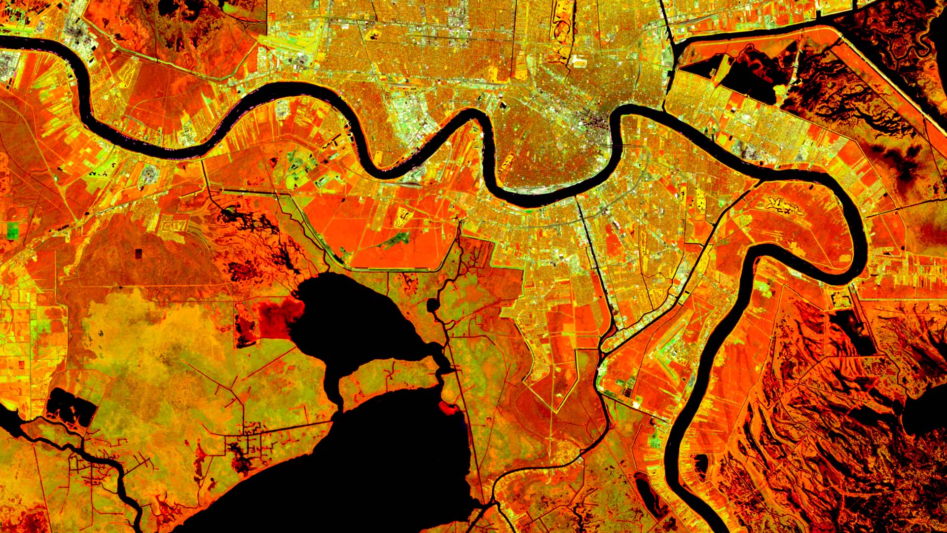
The Landsat Explorer app in ArcGIS Living Atlas of the World provides an easy way for users to access and interpret Landsat satellite data.
The Landsat Explorer app in ArcGIS Living Atlas of the World provides an easy way for users to access and interpret Landsat satellite data.
Christiane Schmullius uses radar remote sensing to explore land surface changes around the world. She also teaches the technology to others.
Throughout their histories, GIS, remote sensing, and photogrammetry have developed on parallel yet distinctly separate tracks—until now.
Using radio occultation, nanosatellites can collect extremely accurate atmospheric data. This is about to transform weather forecasting.