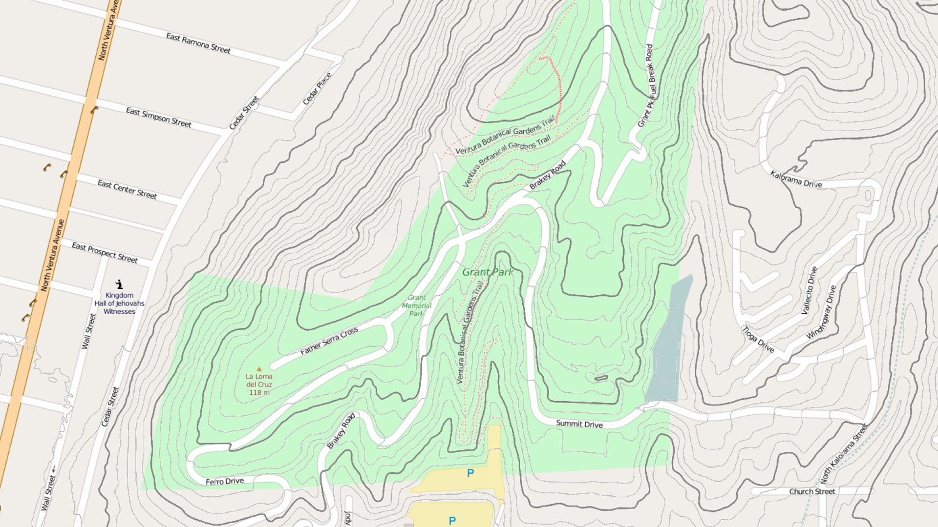
Briefly Noted
Find out about how Esri is helping advance 2030 censuses, funding GIS for nature-based education, and offering new pricing for basemaps.
Find out about how Esri is helping advance 2030 censuses, funding GIS for nature-based education, and offering new pricing for basemaps.
A longtime member of Open Geospatial Consortium (OGC), Ryden was recognized for his exemplary contributions to open data standards.
The strengthened Freedom of Information Act was the basis of the open data movement and, in many ways, impacted GIS data sharing.
Data spaces like Gaia-X let data providers work across clouds while controlling access to data. Esri technology integrates well with Gaia-X.
More than 40 institutions are working on over 90 research projects that, together with a network of sensors, are creating a smart preserve.
ArcGIS products such as ArcGIS Online and ArcGIS Enterprise provide a way to comply with the European Union’s Open Data Directive.
A city in the Czech Republic used ArcGIS Hub to enable widespread use of dynamic city data in a variety of projects and systems.
Sound data provided by recognized, local sources should be the same data that appears in statewide, national, and international datasets.
The cloud-based platform helps organizations work together to respond to natural hazards and prepare for a more sustainable future.
The natural world is under siege. Join some of the geospatial causes aimed at reducing biodiversity loss and protecting the planet.
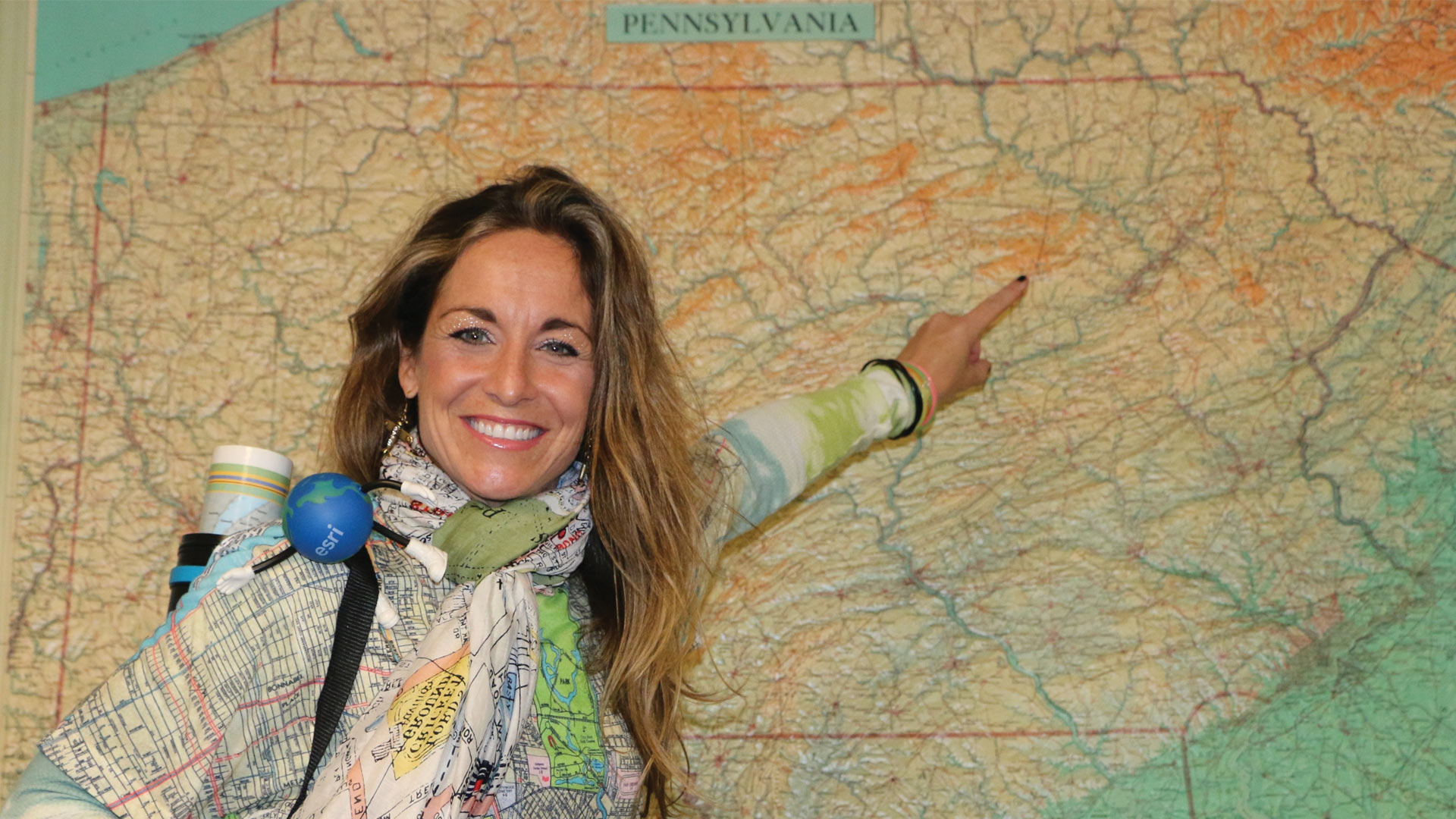
Annette Ginocchetti has boundless enthusiasm for GIS. She is also always one step ahead with the technology.
Recent enhancements to ArcGIS Hub make it easier for people to examine and use data shared as services within the context of hub sites.