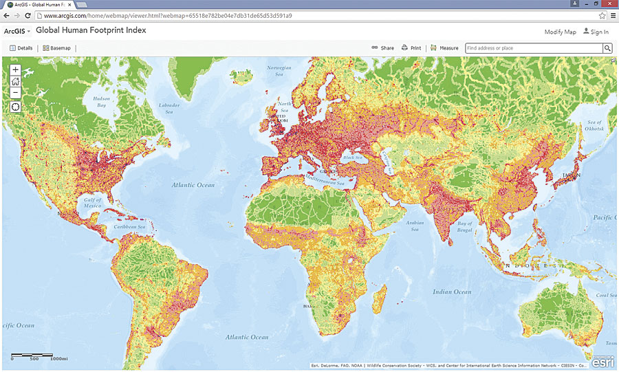
The Center for International Earth Science Information Network (CIESIN), part of the Earth Institute at Columbia University, released a series of mapping services in the Landscape for Contributors group on ArcGIS Online. These services—related to conservation, health, demography, and transportation—are available at no charge to ArcGIS Online users.
While these datasets can be downloaded in GIS formats on the Socioeconomic Data and Applications Center (SEDAC) website, CIESIN published these mapping services via ArcGIS Online so they can reach a wider audience.
Available global layers include the Last of the Wild, the Global Human Footprint Index, population density, atmospheric particulate matter, and roads. CIESIN has also compiled and published a layer of selected hazardous waste site polygons for US National Priorities List Superfund sites, which were originally created by the Agency for Toxic Substances and Diseases Registry. This is the first time that polygon data for Superfund sites has been made available to the public in a single spatial layer.
These services and data products are provided by CIESIN with funding from the National Aeronautics and Space Administration for the Socioeconomic Data and Applications Distributed Active Archive Center and the National Institute of Environmental Health Sciences Superfund Research Program.

