Comic strip character Dick Tracy got his two-way radio wristwatch back in 1946, yet smart watches are only now becoming serviceable for the general public because of the ubiquity of cellular networks and mobile computing capabilities. In the 1960s animated television series The Jetsons, families from the future used flying cars every day, but these are only now being developed in earnest and have yet to hit mass markets.
Dr. Barry Wellar, professor emeritus in the University of Ottawa’s geography department, is asking GIS specialists to look back in time to see what long-lost ideas we might be able to bring to fruition using many of the resources—extensive software suites, cloud computing, and big data, for example—that have emerged relatively recently.
The notion originated from a conference Wellar held in Ottawa, Canada, in 1983 called AutoCarto Six.

“If you look at the people who attended it, it was almost like the Who’s Who of GIS today,” said Gordon Plunkett, Esri Canada’s director of spatial data infrastructure, who worked on one of the papers presented at the conference. The meeting happened just as digital cartography was emerging, and the people in the room wanted to make sure the new technology endured. Plunkett recalled that a lot of ideas were put forward.
According to Wellar, that conference had a prodigious impact on the origins and growth of automated cartography, GIS, remote sensing, geomatics, and related fields. For the conference’s thirtieth anniversary, he put together a book called AutoCarto Six Retrospective, which followed up on what happened with the work that attendees were doing in the 1980s.
Evidently, this sparked an idea.
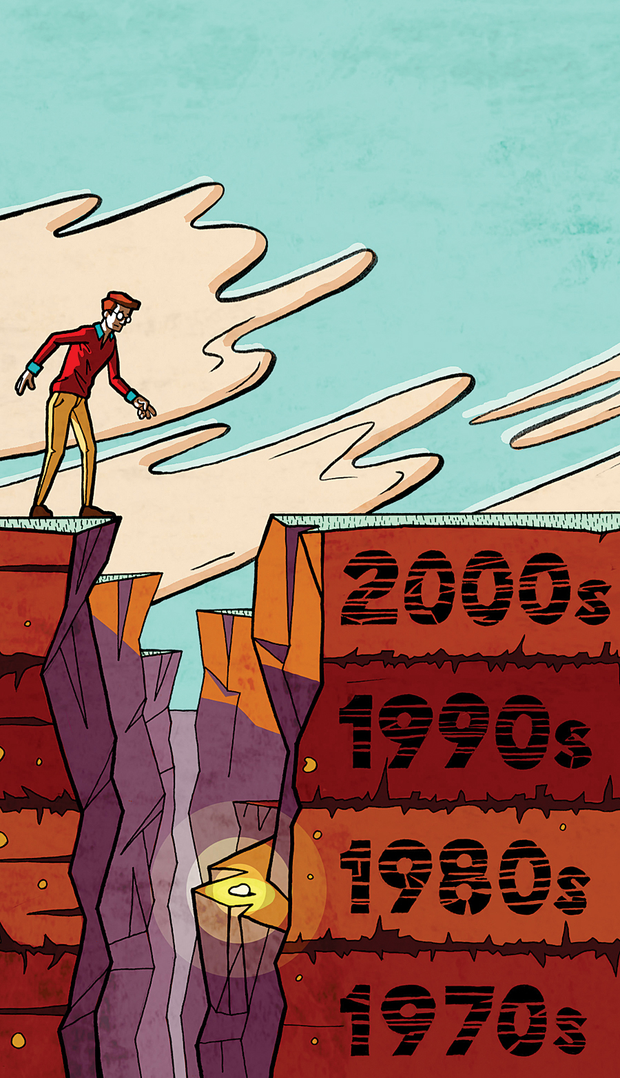
In February, Wellar held a colloquium at Esri centered on the question, How can looking back at what has been done, or not been done, in the field of GIS contribute insights into why and how the field of GIS could and should evolve in the coming years? What Wellar is proposing is that GIS specialists dig up old conference proceedings, reread outmoded industry and academic literature, recall past experiences, and even examine vintage popular culture to find “GIS nuggets”—ideas that have fallen through the cracks or were perhaps just not feasible in the past—that could potentially be developed now that we have more technological know-how.
This development, as Wellar sees it, should focus on three related core missions: designing, developing, and implementing GIS technology; defining and elaborating the methods, techniques, and operations of GIScience; and getting more people in a wider range of professions and with varied interests to use GIS technology and GIScience.
Wellar believes that this retroactive mining of GIS nuggets should be inclusive as well, simultaneously considering GIS technology, GIScience methods and techniques, and how these are used. Not only that, but the questions asked while mining should be manifold: How can this promote continuity among members of the GIS community? How did best practice concepts affect GIS evolution? How has GIS affected urban design, the social sciences, or the news media? How have GIS and geo-based data contributed to pedestrian safety?
The purpose of February’s colloquium was to have some of the most respected GIS and GIScience experts come up with a solidified methodology for retroactively mining GIS nuggets. With that accomplished, Wellar plans to build on what came out of the colloquium by holding an applied research seminar at the Esri Federal GIS Conference in 2016. There, selected GIS practitioners with an emphasis on federal government will present the findings of their own retroactive GIS nugget mining projects, which will then form the basis of seminar discussions.
“The results that come out of this . . . could be broad based,” said Plunkett.
Although the project is largely research based right now, if someone does find constructive GIS nuggets, it could help inform how GIS professionals do their jobs and, ideally, expand the use of GIS and GIScience across industries, professions, and interests.
Materials from February’s Research Colloquium on Using the Retrospective Approach to Mine for GIS Nuggets can be viewed at wellar.ca/wellarconsulting/home.html.

