Highly Pathogenic Avian Influenza (HPAI) is a viral disease caused by the type A avian influenza virus that affects poultry farming. Since late 2020, outbreaks have reemerged around the world, creating unprecedented challenges for controlling the disease.
The H5N1 subtype of HPAI has undergone changes since its last appearance that have led to increased incidence, year-round presence, and heightened susceptibility in wild birds. These changes have expanded the disease’s reach into new regions, such as Central America and South America, and created devastating effects for the poultry industry and wildlife, including mammals.

Due to HPAI’s current high rate of occurrence and its presence in different species, including mammals, the disease poses a relevant threat to public health. To address this, it is essential to develop surveillance systems that can monitor and predict the spread of the disease to inform effective prevention and control measures.
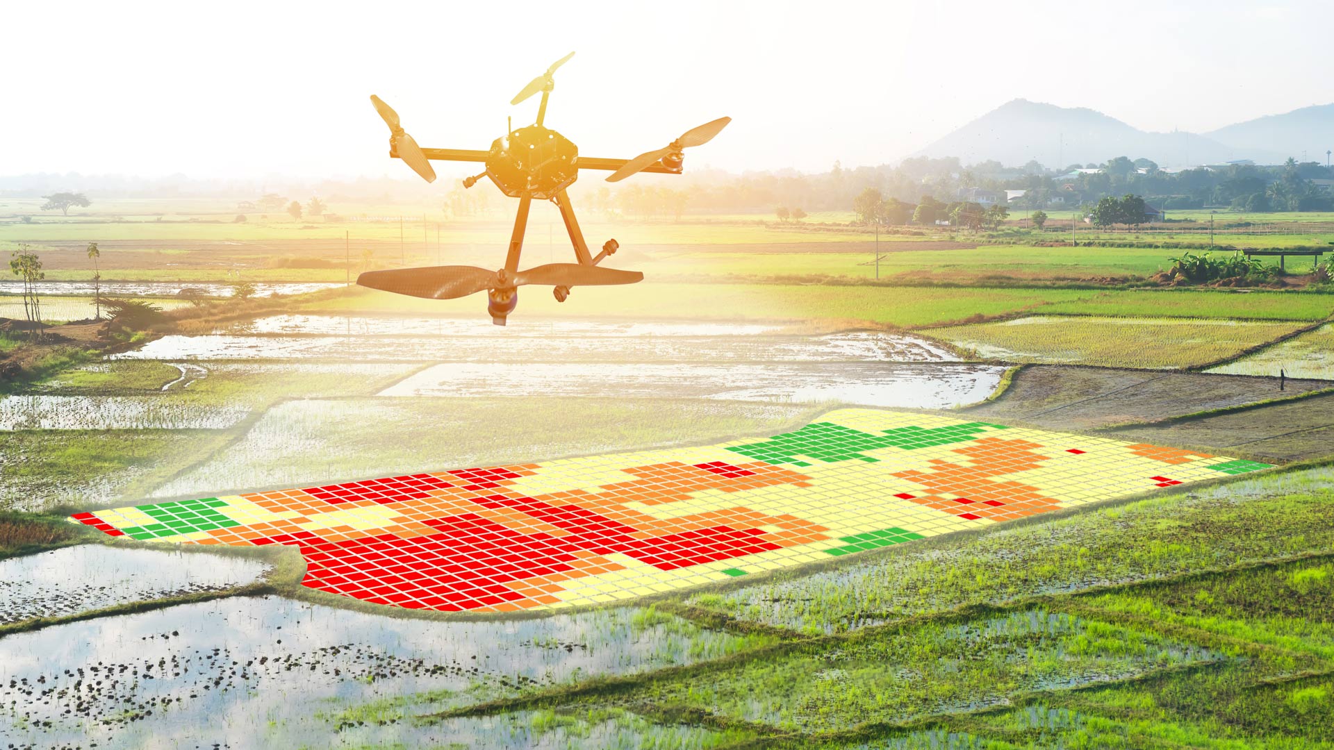
DashFLUboard, an open-source dashboard app developed using several ArcGIS products, allows users to explore the dynamics of HPAI by monitoring wild bird movements (the primary—and unavoidable—way the disease gets introduced to new areas) and connecting outbreaks. The dashboard enables users to perform near real-time risk assessments, strengthen surveillance of the disease, anticipate the spread of HPAI, and implement control measures within the poultry industry.
Dashboard Integrates Key Data Sources for Easy Visualization
DashFLUboard’s user-friendly and accessible interface caters to a wide range of GIS users across public health, academia, farming, veterinary services, and geospatial technology fields. This furthers the objectives of the global One Health initiative, which recognizes the health-related connections among people, animals, plants, and their environments.
A joint, interdisciplinary team from Spain’s National Institute for Agriculture and Food Research and Technology and the University of Minnesota built the dashboard using ArcGIS Web AppBuilder and ArcGIS Dashboards. Its analytical tools are implemented through ArcGIS API for Python and ArcGIS API for JavaScript. The dashboard integrates data from the following sources:
- Details about HPAI outbreaks come from the Food and Agriculture Organization of the United Nations’ EMPRES-i database of animal diseases.
- Movement information for wild birds is based on the Bird Banding Laboratory’s recovery data for 118 at-risk wild bird species that are outfitted with research rings. The laboratory has accumulated nearly 2 million records over the last 20 years and developed a network movement matrix that summarizes connections between the birds’ departure and destination points at the regional and US state levels. The project team categorized the 118 species into 9 taxonomic groups for ease of exploration.
- The dashboard sources climatic data, including monthly mean temperatures (in Celsius) from WorldClim version 2.1. It gets real-time temperatures (in Fahrenheit) and wind speed (in kilometers per hour) from the National Centers for Environmental Information.
DashFLUboard’s simple interface includes three tabs:
- The Historical outbreak records tab serves as the main page for the dashboard. On this screen, users can explore and visualize data via a map that displays HPAI outbreaks from 2005 to now (this is updated daily), a time slider of outbreak notifications, and a set of interactive charts related to either total outbreaks or outbreaks in select regions.
- The Temperatures tab contains an interactive map of the world that displays historical and real-time data on monthly mean temperatures, wind metrics, and HPAI outbreaks. Temperature is an important factor in monitoring HPAI, as the virus has a better chance of surviving in colder temperatures.
- The Wildbirds movements tab allows users to explore HPAI outbreaks alongside the movements of wild birds, first in the United Sates and then around the entire globe at the regional level. The time slider along the bottom of the screen enables users to adjust the period in which they are seeing outbreaks and bird movements.
Conducting Retrospective and Predictive Analysis with DashFLUboard
Since the dashboard was developed, researchers have been able to use it to explore the origins of HPAI outbreaks, forecast the disease’s spread, and predict its introduction to new areas.

In late 2021, for example, HPAI was introduced in Newfoundland, Canada, marking the first outbreaks of HPAI in North America that season. By employing the time slider to analyze bird movements, DashFLUboard users were able to investigate the possible origins of the outbreaks, which looked like they came from infected wild birds that traveled to Newfoundland from heavily affected regions in Europe in the two months prior.
While the dashboard cannot provide conclusive evidence of causation, it serves as a valuable tool for hypothesizing how HPAI gets introduced to new areas based on the movements of wild birds. Subsequent phylogenetic studies, which look at evolutionary relationships among organisms, demonstrated that these connections between Canada and Europe were indeed the source of the disease’s introduction to North America.
Additionally, in May 2022, researchers collaborated with the International Regional Organization for Agricultural Health to use DashFLUboard to explore the risk of HPAI spreading into Central America, since the disease was persisting in North America. In particular, the team assessed the connection of wild birds moving from affected areas in the United States to each province in Panama.
As anticipated based on these observations, wild birds brought HPAI to Panama a few months later, from September to December 2022. While there wasn’t enough time to generate a full, government-supported effort to improve bio-security in higher-risk areas, veterinary service providers and farmers in Panama were notified of the disease’s impending arrival, and outbreaks were limited to five domestic poultry farms.
A New Way to Enhance Disease Surveillance and Control
As an openly available and easy-to-use tool based on Esri technology, DashFLUboard offers an effective way for researchers and decision-makers to monitor the spread of HPAI and predict how the disease will extend throughout the world. By integrating various data sources and providing interactive maps and tools, DashFLUboard supports efforts in government and within the poultry industry to monitor the spread of HPAI and enhance disease surveillance and control strategies.
For more information about DashFLUboard, email Dr. Irene Iglesias Martín, a veterinary epidemiologist at Spain’s National Institute for Agricultural and Food Research and Technology, at iglesias@inia.csic.es or Dr. Andres Perez, professor of veterinary population medicine at the University of Minnesota, at aperez@umn.edu.
About the authors

Dr. Irene Iglesias Martín

Dr. Lim Seunghyun

Dr. Ana de la Torre

Dr. Kaushi Kanankege

Pablo Ibañez

Kathryn Fillman

Carlos E. Blanco