What is a cartographer?
The answer to this question might seem obvious. So why spend a whole column on the topic? Because perhaps it’s not so clear.
Let’s first see what dictionaries tell us. The Oxford Dictionary of English app defines a cartographer as “a person who draws or produces maps.” Merriam-Webster’s online dictionary says a cartographer is “one that makes maps.” And the Cambridge Dictionary, also available online, states that a cartographer is “someone who makes or draws maps.”
Noticeably, these definitions all focus on making and drawing. This is probably due to the outmoded process of producing paper maps. That chain of production required a whole set of people who each had their own skills. Next to the cartographer, for instance, was also a photographer and a printing press operator.
Interestingly, web-based Dictionary.com writes that a cartographer is “a person engaged in cartography, or the production of maps.” This broadens the scope of the word, certainly, but it’s still a little vague. What does “engaged in” mean, exactly?
This reminds me of discussions among cartographers that were happening during the 1980s around the question of who was the real cartographer—the person in the drawing room actually drawing the map or the academic who mostly discussed the map conceptually? As a young student at the time, the answer was pretty clear to me: both were members of the Dutch cartographic society and both engaged in the same activities and discussions during meetings, so both would qualify as “real cartographers” because both were skilled in cartography.
When the computer became fully integrated in producing maps in the 1990s, however, the number of people involved who had different crafts (e.g., the photographer and the printing press operator) decreased. By this time, the cartographer was doing all the work. So a cartographer became someone with the knowledge and skills to design and make maps for a particular audience.
The integration of the computer in virtually all work processes also had a few additional effects on cartography. Soon, people who possessed no cartographic skills whatsoever were able to make maps. Oftentimes, they were researchers from geography-based disciplines who used GIS to visualize their data on maps. To me, these people were not cartographers but rather mapmakers, considering they lacked professional cartographic training.
In recent decades, history repeated itself with a slight twist. The rise of the Internet and mobile devices has resulted in a tremendous increase in the creation and use of maps. Most of those maps are of the where-is-it and how-do-I-get-there type. But with social media and our growing habits of sharing information, there has also been a surge of people making mashup maps with online mapping tools.
It could be argued that the professional cartographic community shouldn’t be against the presence of more maps in the world. But at the same time, not all maps are necessarily good. This is mainly because, first, the mapmakers’ skills are not up to par, and, second, they often use the software defaults, which don’t always produce the most accurate results.
So how can cartographers train mapmakers to do better cartography? Sending them all back to school is not very likely. That said, online, open-source educational modules seem to be a viable option. It would also be useful if the available software better described its default settings and even offered suggestions on which map types or symbology to use during the mapmaking process.
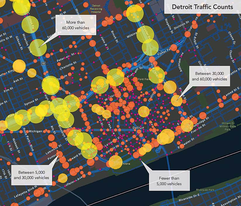
Additionally, cartographers need to pay attention to the map users—those who make use of a map with an objective in mind. We need to ask ourselves questions such as, Do they really understand what they’re seeing? Do they realize how this particular type of map works? Do they get why the mapmaker made certain design choices? One solution could be to add annotations or reading instructions to maps to further describe the data.
Given how drastically the process of mapmaking has changed over the past few decades, how do we define a cartographer now? I would say that a cartographer is someone who unquestionably possesses the knowledge and skills to design and make maps, but who is also engaged with map users to ensure that his or her maps are put to proper use.