To help rural utilities throughout Nevada track and manage their assets, Farr West Engineering provides high-quality geospatial solutions using the latest Esri technology. The civil engineering firm—which essentially steps into the role of the GIS department for many small utilities—has come a long way in its 18 years of existence. It started in Reno, Nevada, with just one employee and has now grown to a team of 70.
Of course, as the company evolved, so did its technological needs. Back in the early 2010s, Farr West had a single ArcGIS Desktop license and used file-based data storage.
“Gathering information to build the assets and utility systems was a challenge when we first started,” said Matt Forrest, a senior GIS analyst at Farr West. “We had to find lots of workarounds to get data.”

When Forrest started at Farr West almost eight years ago, the driving force for building a more extensive GIS was to understand what assets each client had and needed to take care of.
“How many miles of sewer mains do [they] have and maintain,” asked Forrest as an example, or “How much water system pipe do [they] have?”
Farr West wanted to provide its clients with all the benefits of GIS in an affordable and scalable way. In 2013, the two-person GIS team realized that to do this, it needed to start modernizing the company’s infrastructure.
The first step was to build a comprehensive platform that gives Farr West clients dynamic, real-time access to their data rather than siloed products and taxing workflows. With this objective in mind, the GIS team at Farr West chose to leverage distributed collaboration using ArcGIS Enterprise and Esri’s AEC Project Delivery subscription, which also incorporates ArcGIS Online.
“The big selling point was technology that was better, faster, and more cost-effective,” said Lucas Tipton, a principal engineer and utility planning manager for Farr West.
To share data from ArcGIS Enterprise, Farr West needed something that could synchronize changes in real time. That’s where the AEC Project Delivery subscription comes in. A new ArcGIS Online instance for companies in the architecture, engineering, and construction (AEC) spheres, it enables organizations to quickly deploy GIS projects to their clients, allowing for deeper collaboration and direct sharing with stakeholders. Clients can view, edit, and review workflows and assets in real time throughout a project’s life cycle.
Being able to take numerous sets of data that get edited by many users and share them in ArcGIS Online, which Farr West’s clients have access to, has been huge.
In using ArcGIS Enterprise and the AEC Project Delivery subscription, Farr West was able to reduce the time it takes to deliver data to clients by about 14 hours. Instead of taking 16 hours like it used to, it now usually takes 2—thanks, in part, to Farr West’s GIS team being able to access data and customize apps by directly connecting to web services.
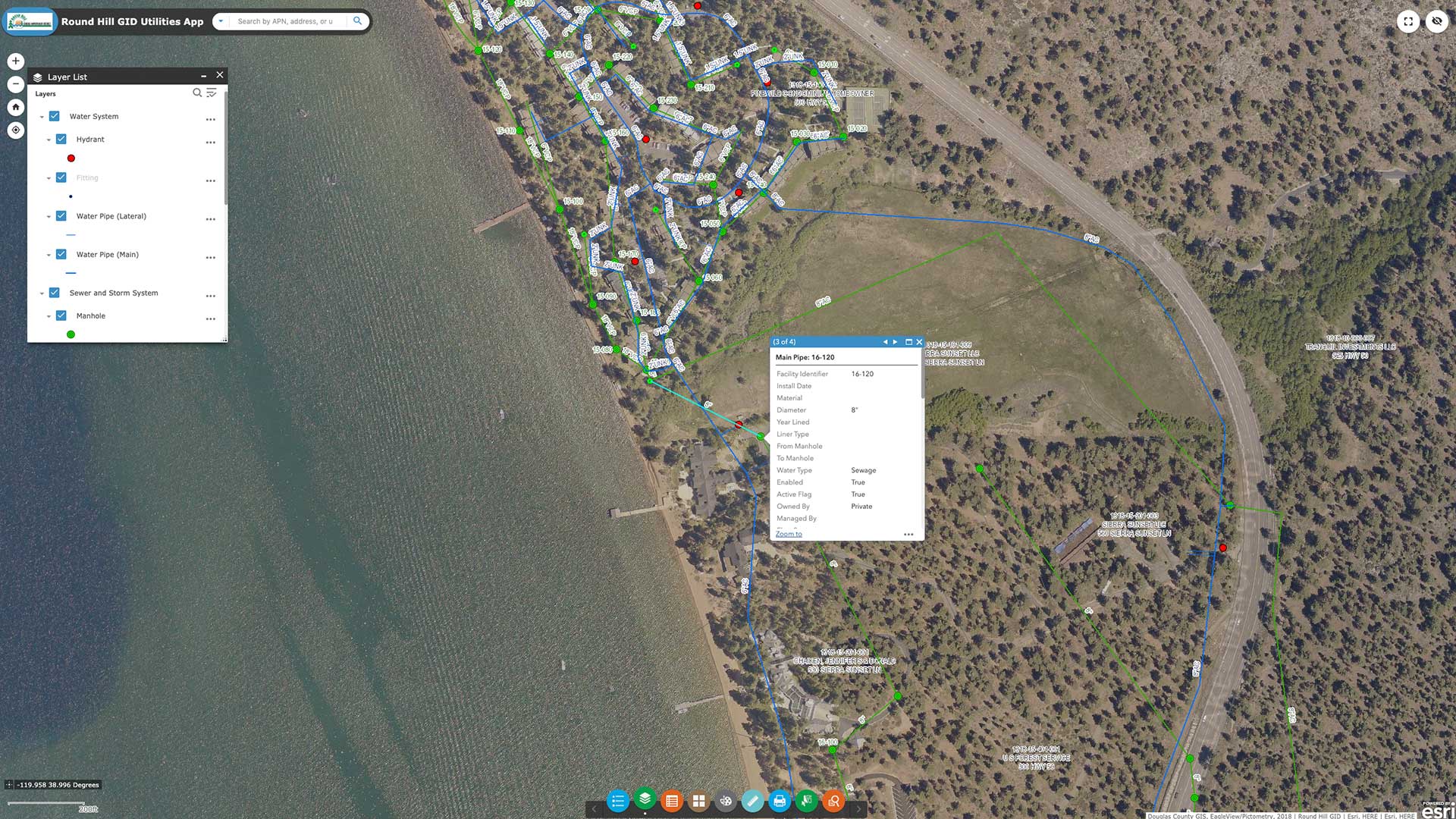
This increase in efficiency allows Farr West to serve a lot more client needs—and quite a few more clients—than it used to. Clients can also now use a suite of Esri apps, including Explorer for ArcGIS, on their computers and mobile devices to visualize their data.
Improved data visualizations are a hit with utility workers, who can now see photos, forms, and videos of their assets, which range from manholes to fire hydrants.
“That’s key for them because they are able to tie what they see in person and on paper to what is shown digitally,” said Forrest.
So far, Farr West has successfully employed this framework for 12 projects. And its GIS offerings are continuing to expand.
Farr West is now deploying the AEC Project Delivery subscription for ArcGIS Enterprise on behalf of its clients so they can use apps such as Survey123 for ArcGIS and Collector for ArcGIS for field data collection. This allows clients to connect to enterprise databases for data gathering and editing.

Farr West is also able to leverage ArcGIS Enterprise Sites to build custom content for its clients. Staff at Farr West like using Sites for several reasons. For starters, they can set up Sites within one place—in ArcGIS Enterprise—and then customize backgrounds, pictures, text, and more. Sites also lets them build customized web pages for clients’ different departments. And while Sites provides multiple ways of interacting with data, the user experience is simple, so clients see only what they need.
“We can now more easily set up our clients to edit their own GIS data on the web,” said Forrest.
For one of Farr West’s clients, seeing a customized web page with its own data on it sparked some creativity.
“They came back to us a week after we provided the new site with a list of app ideas and new ways to use their data that we hadn’t even suggested to them,” said Alex Reid, a GIS specialist at Farr West. “This is exactly the kind of reception we love getting when delivering these products to clients. Even our more difficult clients to please are complimenting the usability of the new sites.”
In addition to being able to provide its clients with improved usability for their GIS data, Farr West benefits from administering users within its own portal. For example, the Farr West GIS team can add, remove, and reset passwords all from one place. According to Reid, this has saved Farr West a lot of time and headaches.
As its client base continues to grow, Farr West will begin to offer its clients more customized apps built with ArcGIS API for JavaScript and ArcGIS API for Python.
This kind of constant innovation has enabled Farr West’s GIS department to provide direct business value to the firm—so much so that it no longer plays a supporting role in the company. In fact, GIS is now part of every contract at Farr West.
“It is gratifying that we are getting to a point where we can be self-sustaining in bringing additional business into the company,” said Reid.
Supported by Esri technology, Farr West will continue to provide new and existing clients with GIS apps and features that help their businesses grow while fostering efficiency within its own operations.