GIS for Science, Volume 2: Applying Mapping and Spatial Analytics
Edited by Dawn J. Wright and Christian Harder
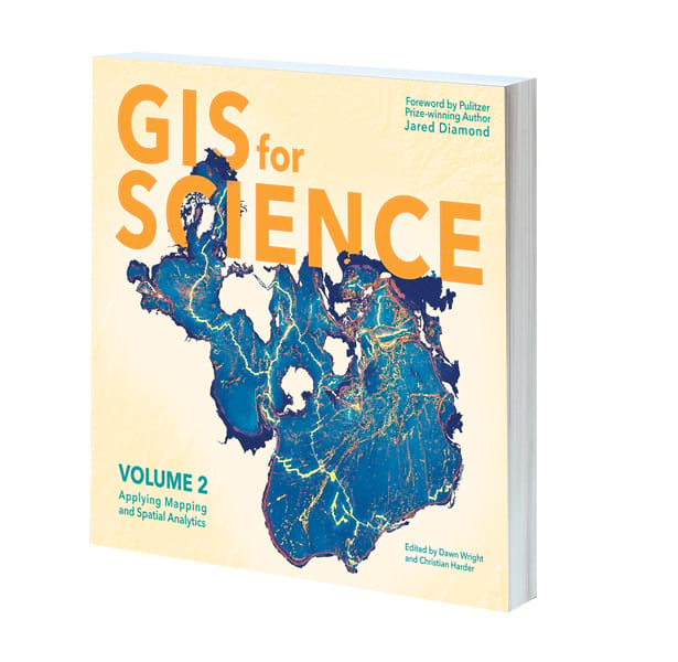
GIS for Science, Volume 2: Applying Mapping and Spatial Analytics brings to life a continuing collection of current, real-world examples of scientists using GIS and spatial data to expand our understanding of the world. Coedited by Esri chief scientist Dawn Wright and Esri technology writer and information designer Christian Harder, with a foreword by Pulitzer Prize winner Jared Diamond, GIS for Science, Volume 2, is part of a global effort to find ways to sustain all life on this planet. The book’s contributors represent a cross section of scientists who employ data gathered from satellites, aircraft, ships, drones, and myriad other remote-sensing and on-site technologies. This collated data is brought to life by GIS and the broader realm of spatial data science to study issues including epidemiology; sustainable precision agriculture; geologic processes that occur below the surface of the earth; disaster response, recovery, resilience, and reporting; and air quality monitoring. These stories also show, in very practical terms, how ArcGIS software and the ArcGIS Online cloud-based system work as a comprehensive geospatial platform to support research, collaboration, spatial analysis, and science communication across many settings and communities. A supplementary website includes actual data along with additional maps, videos, web apps, story maps, workflows, and snippets of computer code for readers who want to learn more. September/October 2020, 250 pp. E-book ISBN: 9781589485884 and paperback ISBN: 9781589485877.
The Esri Guide to GIS Analysis, Volume 1: Geographic Patterns and Relationships, Second Edition
By Andy Mitchell
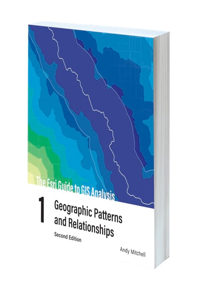
In the second edition of The Esri Guide to GIS Analysis, Volume 1: Geographic Patterns and Relationships, author Andy Mitchell helps readers understand the basis of spatial analysis: geographic patterns and relationships. This new edition, with easier-to-read maps and text, dives beneath the surface of mapping—beyond simply displaying data—to reveal geographic insights. It shows readers the basic concepts of spatial analysis and GIS and helps them establish essential map-building skills so they can better use the technology to uncover patterns and reveal relationships. The new Esri Guide to GIS Analysis, Volume 1, also includes online lessons that reinforce the concepts outlined in the book. Both new and experienced GIS users will find the guide useful for building the skills they need to be able to handle a wide range of analysis and do more advanced GIS. April/May 2020, 312 pp. E-book ISBN: 9781589485808 and paperback ISBN: 9781589485792.
Python Scripting for ArcGIS Pro
By Paul A. Zandbergen
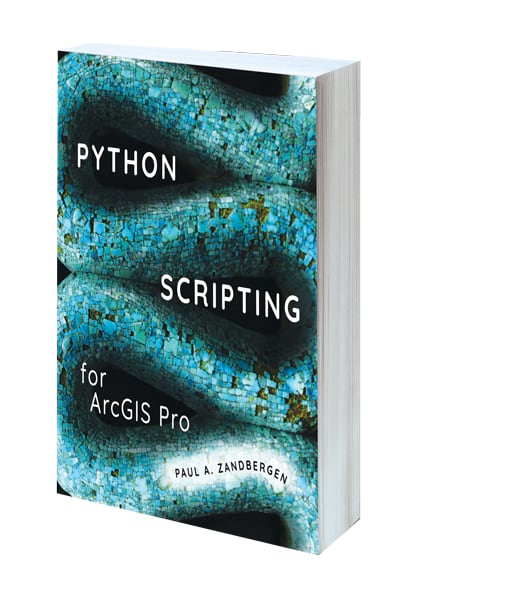
Python Scripting for ArcGIS Pro is the definitive, easy-to-follow guide to writing Python code with spatial data in ArcGIS Pro—and is beneficial whether you’re new to programming or not. The book starts with the fundamentals of Python programming and then dives into how to write useful Python scripts that work with spatial data in ArcGIS Pro. Readers learn how to execute the tools in Python, describe data, and manipulate and create data in addition to a number of more specialized tasks. Helpful points to remember, key terms, and review questions are included at the end of each chapter to reinforce readers’ understanding of Python, and corresponding data and exercises are available online. Learn the versatility of Python coding and increase your productivity in ArcGIS Pro with Python Scripting for ArcGIS Pro. July 2020, 420 pp. E-book ISBN: 9781589485006 and paperback ISBN: 9781589484993.
Advanced Python Scripting for ArcGIS Pro
By Paul A. Zandbergen
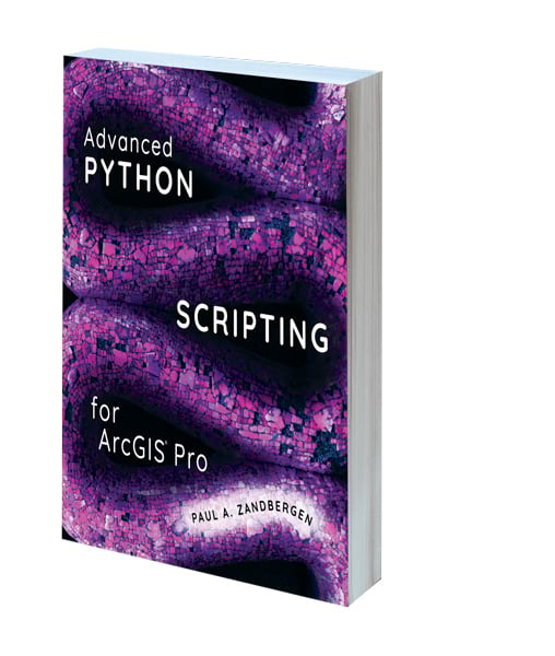
Building on Python Scripting for ArcGIS Pro, Advanced Python Scripting for ArcGIS Pro teaches experienced developers how to create geoprocessing tools out of their scripts, automate tasks in ArcGIS Pro, share tools with others, and grasp several other specialized tasks. Some of the essential subjects that author Paul A. Zandbergen covers include writing specialized scripts using ArcPy, creating Python script tools, writing Python toolboxes, managing Python packages and environments, creating custom functions and classes, and migrating scripts and tools from ArcGIS Desktop to ArcGIS Pro. Each chapter ends with review questions, key terms, and helpful points to remember to reinforce readers’ understanding of Python. Companion data and exercises are available online. July 2020, 290 pp. E-book ISBN: 9781589486195 and paperback ISBN: 9781589486188.
Lindsey the GIS Professional
By Tyler Danielson

The first in a science, technology, engineering, art, and math (STEAM) career-themed picture book series, Lindsey the GIS Professional describes what GIS is, what information is needed to make a map, and how to collect that information. Lindsey then shows readers how to take all that and create a map of her favorite park. This book, for grades 1–5, is perfect for encouraging spatial thinking! It includes a glossary. May 2020, 24 pp. Paperback ISBN: 9781589486126.
Getting to Know Web GIS, Fourth Edition
By Pinde Fu
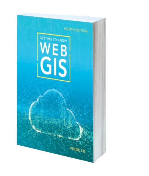
In the fourth edition of Getting to Know Web GIS, readers build state-of-the-art skills that they can use to create compelling, useful, and fun Web GIS apps—no programming experience required. Author Pinde Fu features the latest advances in Esri’s Web GIS platform, from what’s new in ArcGIS Online, ArcGIS Enterprise, and ArcGIS Web AppBuilder to new products including ArcGIS Experience Builder, ArcGIS Indoors, and ArcGIS QuickCapture. Each chapter employs a holistic approach to teaching the Esri Geospatial Cloud and has a good balance of big-picture principles and hands-on exercises, plus a list of resources for more information. Getting to Know Web GIS, Fourth Edition, is ideal for classroom lab work and on-the-job training for GIS students, instructors, analysts, managers, web developers, and other professionals. June/July 2020, 490 pp. E-book ISBN: 9781589485938 and paperback ISBN: 9781589485921.
GIS Tutorial 1 for ArcGIS Pro: A Platform Workbook
By Wilpen L. Gorr and Kristen S. Kurland
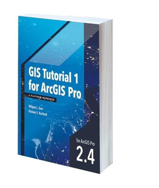
Updated for ArcGIS Pro 2.4, GIS Tutorial 1 for ArcGIS Pro: A Platform Workbook is an introductory text for learning ArcGIS Pro, the premier professional desktop GIS app. In-depth exercises that employ ArcGIS Pro, ArcGIS Online, and other ArcGIS apps show readers how to make maps, create and analyze spatial data, and manage systems with GIS. Readers learn to obtain spatial data and build a geodatabase, explore the functionalities of ArcGIS software, understand the elements of map design, analyze spatial data, automate GIS, and design real-world apps. The book, which incorporates detailed exercises, Your Turn sections, and expanded homework assignments, is best suited for learning GIS in a classroom. ArcGIS software is required. Readers can download a free trial, contact their school or business Esri Educational Site License administrator, or purchase a student or individual license through the Esri Store. March 2020, 480 pp. E-book ISBN: 9781589485907.
The International Geodesign Collaboration: Changing Geography by Design
Edited by Thomas Fisher, Brian Orland, and Carl Steinitz
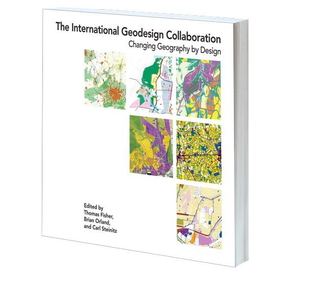
The world faces challenges that supersede and ignore national and regional boundaries and cannot be solved by a single individual, nation, science, or profession. Preparing for the outcomes of population growth and rising global temperatures requires multidisciplinary approaches and collaboration among all stakeholders. In The International Geodesign Collaboration: Changing Geography by Design, editors Thomas Fisher, Brian Orland, and Carl Steinitz introduce readers to a geodesign approach that enables multiple disciplinary teams to collaborate and design at geographic scale using GIS and design tools that allow them to explore alternative future scenarios. April 2020, 186 pp. E-book ISBN: 9781589485730 and paperback ISBN: 9781589486133.

