Protecting the Places We Love: Conservation Strategies for Entrusted Lands and Parks

By Breece Robertson
Bold conservation goals require strategic action to achieve better results. In Protecting the Places We Love: Conservation Strategies for Entrusted Lands and Parks, veteran conservationist and geospatial designer Breece Robertson uses her experience, real-world examples, and myriad resources to demonstrate how to act now and collaborate to achieve better results from your conservation efforts. Designed for professionals and advocates at small- to medium-sized land trusts, conservation organizations, and park agencies, Protecting the Places We Love includes tips and tricks, methods, and examples from land protection organizations all over the globe. May 2021. Print: paperback, 280 pp. ISBN 9781589486164; e-book: ISBN 9781589486171.
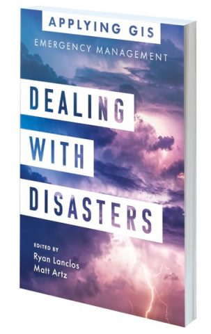
Dealing with Disasters: GIS for Emergency Management

Edited by Ryan Lanclos and Matt Artz
Discover a modern approach to understanding threats and hazards that are more complex, costly, and devastating than ever before. Dealing with Disasters: GIS for Emergency Management explores a collection of real-life case studies about emergency management agencies that successfully used GIS for real and potential hazards. The chapters are organized into sections that deal with the three primary areas of disaster management: preparedness, response, and recovery. Each section includes How to Get Started that provides ideas, strategies, tools, and actions to help readers jump-start their own use of GIS for emergency management. An index helps readers quickly locate topics, and online resources are provided. April 2021. Print: paperback, 150 pp. ISBN 9781589486393; e-book: ISBN 9781589486409.
Delivering Water and Power: GIS for Utilities

Edited by Pat Hohl and Keith Mann
Delivering Water and Power: GIS for Utilities is a collection of case studies that demonstrate how utilities have modernized workflows, created actionable data, reduced costs, and prepared for new challenges by using GIS. By applying location intelligence, utilities have developed a deeper understanding of network maintenance and performance within a real-world context, which has increased operational flexibility and improved worker safety and customer satisfaction. March 2021. Print: paperback, 150 pp. ISBN 9781589486751; e-book: ISBN 9781589486768.
Modern Policing Using ArcGIS Pro

By Eric L. Piza and Jonas H. Baughman
Crime mapping and spatial analysis play a key role in a variety of day-to-day police functions, and with ArcGIS Pro, crime analysts now can enhance the efficiency of workflows and the quality of crime mapping products they produce. Modern Policing Using ArcGIS Pro is an easy-to-use, hands-on guide for crime analysts of any skill level. Using ArcGIS Pro for problem analysis, crime analysts can create crime prevention strategies, measure program outputs to gauge program implementation, and conduct evaluations to determine whether crime control strategies are having the desired impact. Modern Policing Using ArcGIS Pro is essential for crime analysts looking to bring value to their agencies’ operations using GIS for analyzing crime. April 2021. Print: paperback, 340 pp. ISBN 9781589485976; e-book: ISBN 9781589485983.
The Playground Problem

By Lauren Scott Griffin and Fred Folger
Written by GIS expert Lauren Scott Griffin and illustrated by Fred Folger, The Playground Problem is a hybrid graphic novel/activity book that explores how to overcome problems and find the perfect solution. Large pages brightly illustrate the adventure as readers learn about maps and use basic spatial thinking, including introductory mapping, zeroing in on distance, direction, basic spatial analysis, and other skills. Research shows that encouraging spatial reasoning skills at an early age accelerates the development of science, technology, engineering, and mathematics (STEM) skills. This book’s audience is children aged 6 to 10 years. May 2021. Print: paperback, 40pp. ISBN 9781589485686.

