
GeoAI: Artificial Intelligence in GIS

By Ismael Chivite, Dr. Nicholas Giner, and Matt Artz
The emergence of AI-enhanced GIS has unveiled new opportunities to democratize the technology and automate complex spatial analyses, helping both new and experienced users—from city planners and policymakers to business professionals and research groups—make better decisions faster. GeoAI: Artificial Intelligence in GIS is a collection of real-world stories about how public, private, and nongovernmental organizations successfully use geospatial AI to manage processes, workflows, policies, and communication. The book also includes a technology showcase that provides ideas, strategies, tools, and actions to get readers to jump-start their own use of GeoAI. September 2025, 124 pp. Ebook ISBN: 9781589488458 and paperback ISBN: 9781589488441.
Security First: Geospatial Workflows for a Safe and Equitable World

By Dr. Darren Martin Ruddell and Dr. Diana Ter-Ghazaryan
To resolve the complex challenges humanity faces today, learning GIS has never been more critical for visualizing and interpreting data. Security First: Geospatial Workflows for a Safe and Equitable World guides readers through targeted exercises and examples to show how GIS can be used in the fields of human security and global intelligence. Each chapter outlines learning objectives, technical requirements, and prerequisite knowledge and includes a geospatial workflow, an analysis, and additional resources. All detailed exercises use ArcGIS software and downloadable data, helping readers establish and reinforce their technical skills. After each exercise, readers interpret their results and write an intelligence brief, fostering critical thinking about how to incorporate GIS into analytical work. October 2025, 428 pp. Ebook ISBN: 9781589487840 and paperback ISBN: 9781589487857.
Top 20 Essential Skills for Imagery and Remote Sensing

By Thomas Humber and Jeff Liedtke
Top 20 Essential Skills for Imagery and Remote Sensing guides readers step by step through the key techniques needed to visualize, process, analyze, and manage imagery and raster products. The book contains concise chapters—each of which takes about 45 minutes to complete—with easy-to-follow tutorials and practical examples. This is an approachable resource for users of all skill levels, from GIS professionals who want to deepen their understanding of imagery to students who are eager to learn about remote sensing. March 2026, 330 pp. Ebook ISBN: 9781589488229, paperback ISBN: 9781589488212, and hardcover ISBN: 9781589488731.
Map Use: Map Reading and Design, Volume 1, Ninth Edition

By Dr. Aileen R. Buckley, Dr. A. Jon Kimerling, and Dr. Patrick J. Kennelly
Maps are sophisticated conceptual creations. They convey as much about how people think and communicate as they do about the mapped environment. Map Use: Map Reading and Design, Volume 1, ninth edition, is a comprehensive primer on how to read and understand maps, design and make maps, and recognize the limitations and inaccuracies of maps. Combining authoritative text with hundreds of stunning visuals, the book describes foundational cartographic concepts in the context of the industry’s latest innovations. Changes for the ninth edition include reindexing; revised datums, maps, and images; an updated map projection guide; a new state plane coordinate system; and updated text to reflect new concepts, practices, and technology. An online glossary is also available. March 2026, 334 pp. Ebook ISBN: 9781589487765, paperback ISBN: 9781589487758, and hardcover ISBN: 9781589488816.
Getting to Know ArcGIS Enterprise
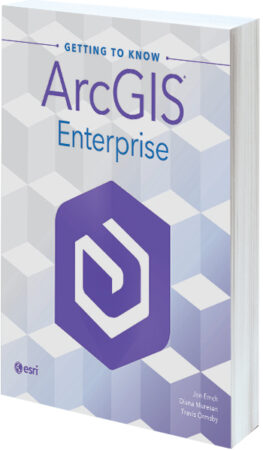
By Jon Emch, Diana Muresan, and Travis Ormsby
In today’s increasingly demanding and rapidly changing business environment, understanding how to work with ArcGIS Enterprise is key to increasing collaboration and being resilient. Getting to Know ArcGIS Enterprise—the first book from Esri Press focused on ArcGIS Enterprise—covers the essential skills of planning, deploying, administering, using, and maintaining this foundational software system so users can securely organize and share their work on any device, anywhere, at any time. The book addresses the most common and vital workflows that ArcGIS Enterprise administrators need to comprehend and put into practice. November 2025, 298 pp. Ebook ISBN: 9781589487918, paperback ISBN: 9781589487932, and hardcover ISBN: 9781589488557.