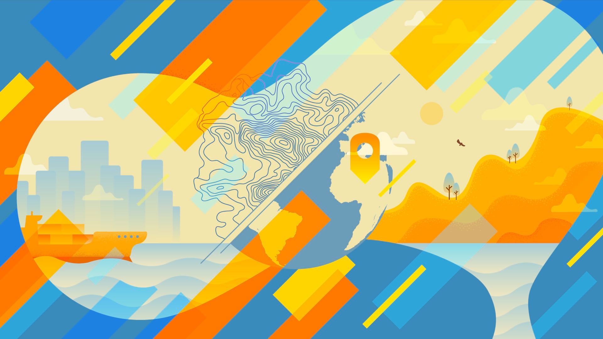
There is a revolution happening in geographic science and technologies, and it is transforming every aspect of the US economy and government, benefiting the nation and the world.
A recent report from the National Geospatial Advisory Committee (NGAC) identified new and emerging technologies that will gain importance for federal agencies and the broader geospatial community over the next decade.
The report, entitled Emerging Technologies and the Geospatial Landscape, first examines five overarching technology trends that will drive new geospatial development. Then it discusses specific emerging technologies in five core areas of GIS and geospatial activity: data collection and generation, data analytics, infrastructure, access, and workforce.
Below are some excerpts from the report (which have been edited for clarity). These trends will likely impact all GIS users in the years ahead.
The Technology Trends
The NGAC has pinpointed five technology trends that are facilitating, structuring, and propelling development in geospatial technologies. They are:
1. The Real-Time Revolution
Although real-time spatiotemporal data is now being generated almost ubiquitously and its applications in research and commerce are widespread and rapidly accelerating, the ability to continuously create and interact in real time with this data is a recent phenomenon. This innovation is functioning as a core change agent in geography, cartography, GIScience, and many related geospatial fields. It is profoundly realigning traditional relationships and structures; expanding research horizons; and transforming the ways in which geographic data is now collected, mapped, modeled, and used in geography and science and society more broadly. This immediate interaction between space and time remains today the underlying process that is generating the current explosion of fused spatiotemporal data, new geographic research initiatives, and myriad mobile geospatial apps in governments, businesses, and society.
2. Miniaturization of Technologies
The capacity to create small and often inexpensive devices and sensors with wireless connectivity is driving an explosion of the Internet of Things (IoT). Miniaturized and lower-cost sensors lead to an increase in what, when, where, and how much data is collected and, more importantly, the ability to attune the sensor to the specific data collection needed.
3. Proliferation of New Mobile Geospatial Sensor Platforms
The rapid miniaturization of technologies has made it feasible to explore new modalities for sensor distribution, such as small satellites (smallsats) and unmanned aircraft systems (UAS, or drones) that can be rapidly designed and deployed with orbits or flight paths tailored to the mission. These mobile geospatial sensor platforms greatly expand the abilities of individuals, businesses, and governments to collect volumes of remotely sensed data for diverse and mission-critical purposes, including disaster response, environmental monitoring, and public safety.
4. Expanding Wireless and Web Networks
Faster and broader wireless and web networks are beginning to address, in part, the growing demand for improved methods of data transmission and geospatial data distribution to end users. This is laying the groundwork for governments and consumers around the world to more broadly share and use spatiotemporal data, including for real-time apps.
5. Advances in Computing Capacity for Geospatial Research, Apps
High-performance computing networks (including CyberGIS) and cloud computing services (including cloud GIS) are providing governments and others with conduits through which they can more easily and quickly access and contribute to growing repositories of geospatial data, tools, and services.
The Changing Geospatial Landscape
According to NGAC, the technologies that are emerging from these trends are impacting the geospatial landscape in five core areas of GIS and geospatial activity. Those are:
Data Collection and Generation
This includes technologies that enable collecting or processing spatial and spatiotemporal data, introduce new data types, and have other significant implications for data delivery and use. The impacts affect existing and de facto standards, real-time data generation and use, data confidentiality and privacy, and the big datasets generated using these new technologies.
Data Analytics
This encompasses new technologies or methods that support analyzing big and small data, multidimensional information, and spatiotemporal data. The emerging technologies include human-guided and autonomous machine learning systems.
Infrastructure
New frameworks are needed to support data collection, processing, storage, and sharing, as well as the protection of these systems.
Access
The relatively recent diffusion of technologies and data has been facilitated by improvements in access (via modifications in wireless systems and Internet use, for example). These changes affect who has access to new technologies and data, how we interact with those improved tools, and how we protect sensitive information.
Workforce
Changes in the technological landscape of today necessitate being aware of the critical spatial thinking and technology skills that the next generation of spatial analysts will need, as well as taking heed of how to broaden and diversify the geospatial workforce.
Shaping the Future
A full discussion of the GIS and geospatial technology trends impacting tomorrow’s geospatial landscape is available in the NGAC report. These trends will be critical to the work of federal agencies, as well as for the larger GIS and geospatial communities.
I look forward to engaging in productive dialog with you on these emerging technologies as we plan and shape our GIS and geospatial landscapes of the future.
Contact Doug Richardson.
The following members of the NGAC Emerging Technologies Subcommittee authored Emerging Technologies and the Geospatial Landscape: Doug Richardson (chair), Sarah Battersby (vice chair), Pat Cummens, Matt Gentile, Jack Hild, Jeff Lovin, Rebecca Moore, Carl Reed, Gary Thompson, Jason Warzinik, David Wyatt, and May Yuan.
Read other articles in the “Crossing Borders” series.