GeoInquiries Can Help Educators Teach Their Subjects More Effectively
If GIS helps people understand the world and solve problems, then it’s a great tool for students to get their hands on early in their education. But how can a typical overworked schoolteacher easily engage with this technology?
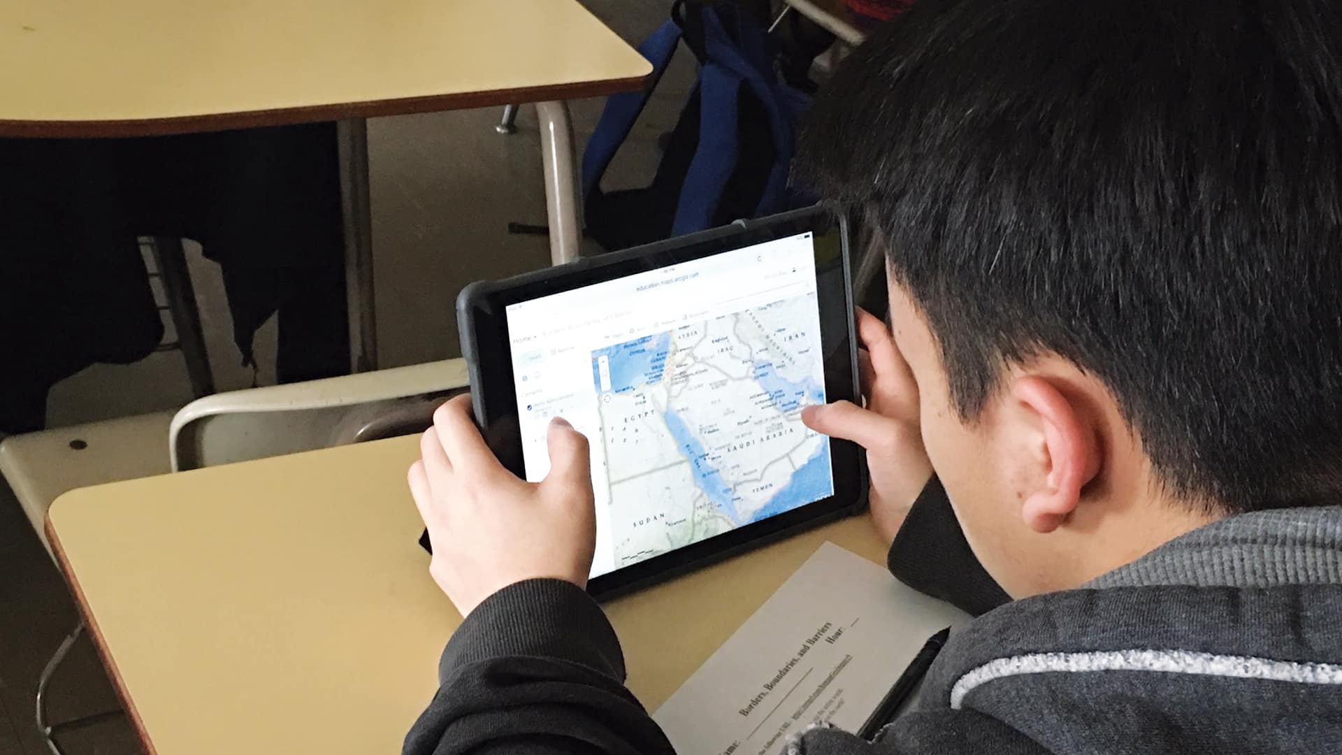
GeoInquiries can help. These short, standards-based instructional activities use ArcGIS Online to teach common elements of US curricula to K–12 students. With 155 activities, GeoInquiries are designed to help teachers teach their subjects more effectively. They align with the most common textbooks in use today and can run in any classroom environment that is minimally equipped with a projector and a computer or mobile device.

GeoInquiries, which Esri first released in 2014, are not GIS skill builders but rather rich sources of map-based content that most teachers are required to teach. The lessons employ established pedagogies that teachers tend to learn during their teacher education programs.
Subject-specific collections include US History, World History, Government, Human Geography, Earth Science, Environmental Science, Upper Elementary, Mathematics, and American Literature. Each collection contains 15 two-page Level 1 activities, which don’t require teachers or students to sign up, log in, or install software.
In this configuration, teachers can stand up in front of the class and deliver the activity to students. Alternatively, in classrooms where each student has a device, such as an iPad or a Chromebook, teachers can distribute the lesson’s map URL to students and then verbally guide learners through the inquiry.
This past summer, Esri also began releasing Level 2 GeoInquiries in the US History, Human Geography, Government, and Earth Science collections. Unlike the Level 1 activities, these inquiries require a free school software bundle from Esri and at least one login for the teacher who is demonstrating the activity. In Level 2 GeoInquiries, students and teachers engage with analysis tools and use premium data from ArcGIS Living Atlas of the World.
For example, in the Level 2 US History GeoInquiry Dust Bowl: Population Shift, learners use the Summarize Within tool in ArcGIS Online to aggregate and describe the change in farm counts and farm acreage before and after the dust bowl, which decimated agriculture in the Great Plains of the United States during the 1930s.

When Stacey Greer, a former education programs consultant at the California Department of Education, presented a similar dust bowl GeoInquiries lesson to her colleagues, she was impressed by how fascinating these teaching professionals found the software.
“I’ve never seen another division activity create so much buzz,” said Greer, who now directs The History Project at the University of California, Davis. “Folks did not want to leave the computers.”
Educators around the United States are also beginning to modify existing GeoInquiries and even build their own to fit their state education standards. In Georgia, Cobb County public schools are creating new GeoInquiries based on the state’s history. And the Texas Geographic Alliance is building GeoInquiries lessons to teach students about the region’s geography. Teachers can find state-based activities on the GeoInquiries GeoNet site, as well as a planning guide and replication templates.
Although GeoInquiries are easy to set up and intuitive to use, some educators need a bit of prodding to get started. To introduce a teacher to these GIS-based lessons, email him or her the GeoInquiries URL and invite the educator to explore the lessons and get familiar with the tools. Follow up after a few weeks to get feedback, and show the teacher how to modify the ArcGIS Online maps. If the educator has requested an ArcGIS Online organizational subscription through the free school software bundle, show him or her how to save ArcGIS Online maps to the school’s account.
Getting teachers going with GeoInquiries shouldn’t require the full support of a GeoMentor, since the materials are designed to be intuitive, specifically for educators. Once teachers become proficient in using and teaching GeoInquiries, they will likely gain interest in doing more with GIS in the classroom.
For more information on GeoInquiries, contact the Esri GeoInquiries team at geoinquiries@esri.com.