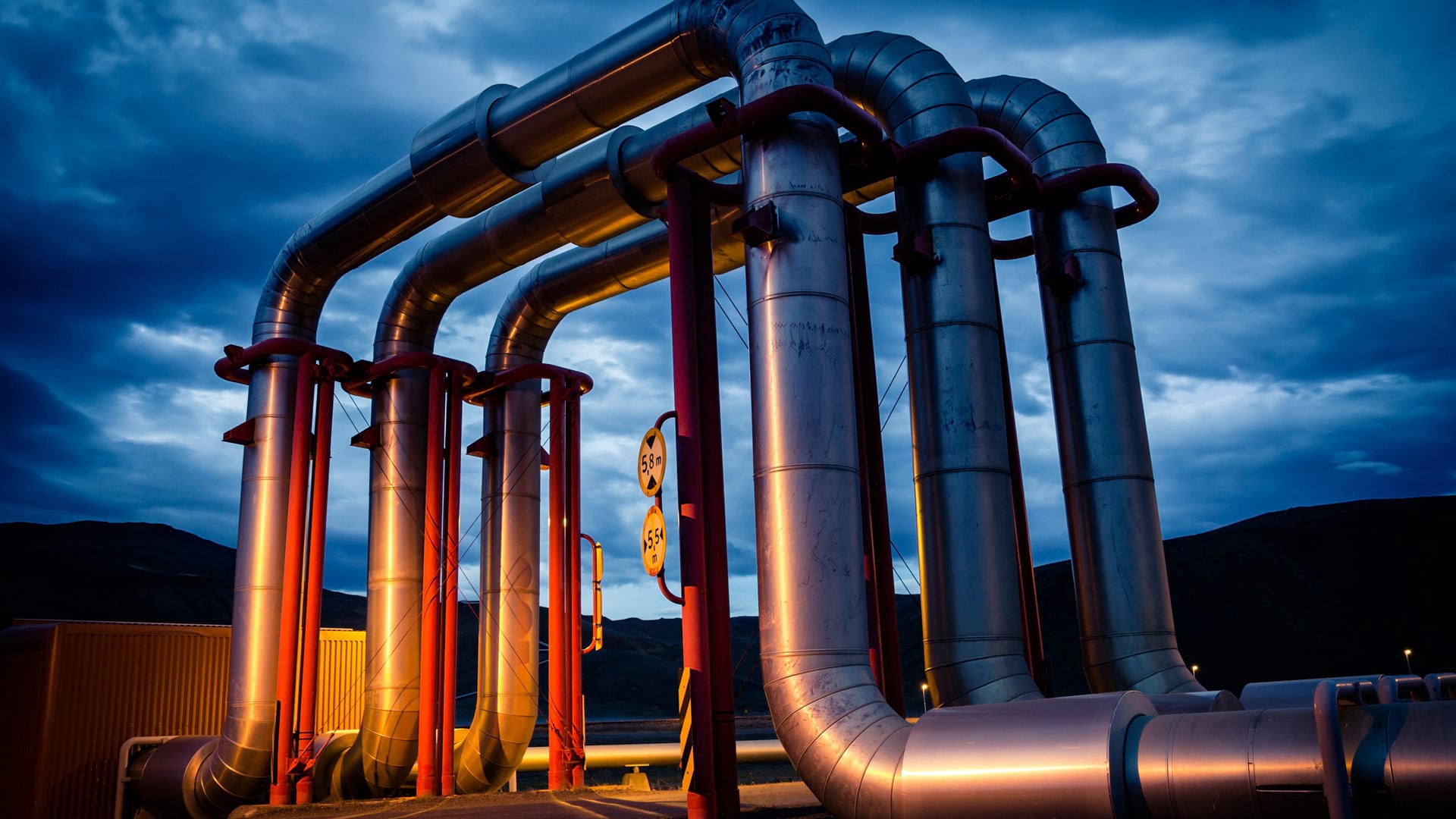
Geothermal energy is a reliable and sustainable source of power that’s always available, regardless of weather conditions. In North America’s Great Basin region—which spans much of Nevada and Utah and portions of California, Idaho, Oregon, and Baja California—there are about 30 operating geothermal power plants with a combined capacity of more than one gigawatt. But there are still many untapped geothermal systems in the region that remain hidden underground, without any visible surface features such as hot springs or steam vents. These hidden systems have an estimated potential of 30 gigawatts, which could provide electricity to more than 20 million homes.
To locate and assess these hidden geothermal systems, scientists need a comprehensive understanding of the earth’s subsurface. Geophysical surveys, field measurements, and subsurface observations such as well logs (various parameters recorded and reported in the process of drilling) are used to gather valuable data on geologic composition, fracture patterns, fluid flow, and temperature at depth. This information can indicate geothermal energy potential. Observing and analyzing various indicators and parameters can help create predictive models.
Researchers at the Great Basin Center for Geothermal Energy (GBCGE) at the Nevada Bureau of Mines and Geology, University of Nevada, Reno, use the open-source database PostgreSQL, ArcGIS Enterprise, and ArcGIS Online to organize this information and share it with the scientific community, resource exploration professionals, and the public. Integrating relational databases with GIS technology ensures the smooth interoperability and synchronization of online feature layers, distributed databases, and web apps. A complementary, public-facing web mapping app allows users to visualize, filter, and export data in an easy and accessible way.

Pioneering Geothermal Systems Research
With advances in technology and growing demand for renewable energy, the US Department of Energy has funded several large-scale geothermal systems exploration projects. One project—Innovative Geothermal Exploration through Novel Investigations of Undiscovered Systems, or INGENIOUS—is led by the GBCGE. Its goal is to identify hidden geothermal systems and develop methods for exploration.
Established in 2000, the GBCGE has been actively involved in research leading to the successful development of geothermal projects in Nevada and elsewhere. The center’s previous research, such as the Department of Energy-funded Nevada Play Fairway Analysis, has led to the leasing and development of multiple geothermal sites.

Now in its third year, the multiorganization INGENIOUS project combines insights from the Play Fairway Analysis research with new machine-learning techniques to uncover hidden geothermal systems. The project’s data and models are publicly available to encourage further research and development in geothermal energy and aid in mineral resource assessments and carbon sequestration projects.
Streamlining Data Organization
To effectively carry out the INGENIOUS project, advanced data management and visualization solutions are crucial. The GBCGE has developed the Subsurface PostgreSQL relational database, which seamlessly integrates with ArcGIS Enterprise and ArcGIS Online.
This database serves as a hub for organizing tables with one-to-many relationships, automating tasks, and aggregating data into views that can be easily accessed by the public. These views are integrated with ArcGIS Pro via a database connection, where they are assigned geometry, symbology, and other properties before being published as REST services on the ArcGIS Enterprise site, for those who want to use the web services in their own apps.
By registering the PostgreSQL server as a data store, the web services maintain a dynamic link with the underlying database, ensuring that the views and linked services are automatically updated every night and providing a low-maintenance, single source of truth.
Enhancing Data Accessibility
The GBCGE built a connected app—the GBCGE Subsurface Database Explorer—that’s hosted on ArcGIS Online. This app serves as a user-friendly portal for visualizing, filtering, and exporting well, spring, and power data from the subsurface database. The database relationships persist at the app level, allowing users to explore one data table by querying attributes from another.

The app includes several preset filters for common queries related to temperature, depth, and data availability. Users have the flexibility to define custom queries using complex expressions, guided by drop-down attribute and value lists. For example, it’s easy to select wells based on specific depth and temperature criteria and retrieve all related well logs on file. The GBCGE is also digitizing scanned-to-PDF legacy log documents to create machine-readable and accessible tabular and .las file counterparts.
The aim is to make data accessible while relieving users of the burden of downloading large data compilations and reducing the strain on their own machines. With more than 200,000 wells in the Great Basin region database, and other feature sets and related tables, the ability to filter and export specific selections of data is essential.
Seeing into the Future
The ability to efficiently filter and visualize features online plays a crucial role in the collaborative efforts for the INGENIOUS project. The project’s approach involves predicting the likelihood that there’s a geothermal system in a particular area by using inputs that describe various factors such as geophysical surfaces, seismic activity, fault traces, and volcanism. These inputs are then compared to labeled examples of positive and negative geothermal energy potential, such as known geothermal systems or deep cold wells, allowing the team to generate a predictive grid of conditions favorable for geospatial systems.
With these tools, the GBCGE identified several prospect sites in the Great Basin region. Team members are currently acquiring additional data for these sites to further refine their models. Ultimately, they plan to drill shallow thermal gradient holes to validate the accuracy of their models. The data gathered from drilling can be combined with geophysical data to make conceptual models of the system, strengthening the likelihood of finding hidden geothermal systems.
The GBCGE, the INGENIOUS project, and collaborators are making significant strides in uncovering hidden geothermal systems with advanced data management and visualization solutions. Using the power of GIS technology, they are advancing geothermal energy exploration and development and paving the way for a more sustainable and renewable future.