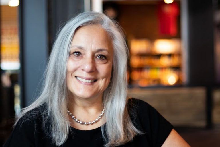
For 25 years, Anita Palmer has been a leader in teaching GIS—and not only to students but to hundreds of teachers as well.
“She’s one of those rare birds that does teacher training, materials development, and some technical development; has participated in academic research; and has taught,” said Esri education manager Tom Baker. “I don’t think there’s a facet of GIS education that she hasn’t worked in.”
“Where she excels is with early learners,” added Charlie Fitzpatrick, Esri education manager for K–12. “Lots of people who get good at GIS want to spend more time getting deeper into dramatic technology. But Anita has been very good about focusing on the people who are just getting in and being as interested in them as with the people who are well down the road.”
Palmer started out as a high school technology teacher, ended up founding an educational technology consulting company, and is currently the National Geographic Society’s first ever GIS-focused Education Fellow.
“GIS speaks differently than any other technology,” said Palmer. “I used to teach spreadsheets and Lotus, and I loved it. I love technology. But when you connect a map to technology or a spreadsheet, patterns and visualizations emerge. Things we couldn’t see before in that spreadsheet, in those lists and columns, all of a sudden appear, and we can see what we need to do.”

That’s sort of how Palmer’s career in GIS unfolded, too: all of a sudden, when she saw what she needed—and wanted—to do.
Originally from Burbank, California, Palmer had been interested in geography and travel as a kid.
“We would always be in the ’56 Chevy going places, like camping up Route 1 or to Lake Gregory or the Grand Canyon,” she recalled. “My mother would be sitting in the passenger’s seat with the big map.”
Palmer initially didn’t think of making a career out of maps, though, and she ended up in accounting. Twenty years down the road, however, she decided that she really wanted to teach, so she studied social studies and technology education at the University of Nevada, Reno, and got a job at Carson High School in Carson City, Nevada. She then immediately started pursuing her master’s degree in geography.
Around the same time, Palmer also got involved with National Geographic’s Alliance Network in Nevada, which brings together educators who want to support geographic literacy. That’s where she first heard about GIS. A fellow Alliance member, whose husband was the GIS manager for Washoe County, Nevada, told her that they needed to get the technology into their classrooms, so Palmer got on board.
In 1993, Fitzpatrick set both teachers up with ArcView, which they installed on borrowed computers that really couldn’t keep up with the software. The two persisted anyway. And while Palmer wanted to use the technology to teach geography, her school had other ideas.
“I became the tech coordinator for the school and then got involved with the district,” she said. “We brought one of three high-tech centers in the state to Carson City. It was a co-op between the high school and the community college. So we used it up until 3:00 p.m., and the college came in and used it through the evening.”
Palmer’s students loved the tech classes, so they took every course they could from her.
“I was like, OK, well, here’s this GIS software. Learn it, and then teach me,” she recalled.
Once the tech center was up and running, Palmer applied for, and received, a grant through the National Science Foundation to teach GIS to Hispanic female students who spoke little to no English.
“We had a real cultural divide with the girls during the regular school day,” she recalled. “So we had them come in at 7:00 in the morning to learn GIS.”
There were no educational materials available at the time, so Palmer was writing them from scratch as fast as she could. The students elected to not have the lessons translated into Spanish to better learn English.
“It was empowering for them. These girls started getting on student council, and they graduated,” said Palmer. “The program was quite successful, and it kept going for several years. It really became an inclusive process.”
At the same time, Palmer started learning how to teach GIS to other teachers so they could use the technology in their own classrooms.
“I really became so passionate about GIS right in the beginning that I thought, this is it; this is where it’s at,” she said.
In 1998, Esri hosted an intensive GIS workshop for 32 teachers, and Palmer was one of them.
As it turned out, “all the teachers were married except for one other person, and that was Roger Palmer,” whom she later wed, she said. “But we did start a GIS education business together before we got married: Educational Technology Consultants,” which they later shortened to GISetc.
Palmer ended up leaving the classroom to devote herself entirely to this new endeavor, which included working with Roger and Esri education manager Joseph Kerski (who at the time was a geographer with the US Geological Survey) to hold GIS teacher training workshops around the United States.
“Teachers were coming from all over the place, and it was really wonderful. The connections were amazing,” she remembered. “One time we counted that the three of us got 12 hours of sleep the entire week because we were writing curriculum and activities all night long. But the workshops were great fun. Teachers would have this aha moment, and it was like, ‘Oh my gosh, I’m going to use this back in my classroom!’”
But Palmer, Kerski, and Baker—who was also involved—wondered if teachers were actually implementing GIS in their classrooms. They later con-firmed through research that implementation rates weren’t very high without classroom materials. So Palmer decided to produce a book. She got two additional coauthors on board—fellow teachers Lyn Malone and Christine Voigt—and, with help from Fitzpatrick and George Dailey (who also used to be on the Esri education team), they pitched the idea to Esri president Jack Dangermond.
“That’s how Mapping Our World: GIS Lessons for Educators was born,” Palmer said. “Jack threw a massive amount of resources at it, Esri Press just dug in, and it came out like a storm.”
The 535-page book, which is painstakingly scripted with screenshots and step-by-step lessons, spoke mainly to early adopters of GIS. Over the years, Palmer has helped update it for new technology, break it down into smaller sections, and even adapt parts of it into GeoInquiries—short, instructional activities that teachers can have students do using ArcGIS Online.
“Mapping Our World laid the foundation for a lot of instructional materials both at Esri and at universities and schools that were doing materials development,” said Baker.
Palmer, now based in Dallas, Texas, has continued to host teacher trainings. And she and her husband have taken participants to remote places around the world—mostly in Costa Rica but also in Peru, Ecuador, Australia, Kosovo, and New Zealand—to learn GIS.
“We’d be out in the Amazon rain forest with two hours of generated power every day, and we were like, ‘If you can do GIS here, you can do it back in your classrooms,’” Palmer said.
For one project in Costa Rica, which prompted the Palmers to start a nonprofit called Geoporter, teachers helped kids map where they picked up trash and then worked with community elders to place mini recycling and trash centers in appropriate areas.
“It really transformed the community,” said Palmer, “and then other communities asked to be shown what they were doing.”
With her breadth of experience and depth of commitment to geography and GIS, it seems natural that Palmer was chosen as one of National Geographic’s eight Education Fellows for 2019—and the first focused on GIS.
“Palmer’s thought leadership in the education space…will help to elevate the work and reach of the National Geographic Society’s educational offerings,” stated a press release about her selection.
Her main project is to work as a liaison with a collaborative group from Esri and the education and digital teams from National Geographic to develop the next generation of MapMaker Interactive, a map interface from National Geographic that teachers and students have used for years to assemble, draw on, and annotate maps. Palmer is also working to design curricular materials and workshops to use in MapMaker Interactive, version 2.
“I am part of a really great team,” she said. “We’ve done interviews with teachers about how they’ve used MapMaker Interactive and what they really want to get out of a mapping instrument. There’s still a lot of hard, grinding work to be done, but we’re moving forward, and we will prevail!”

