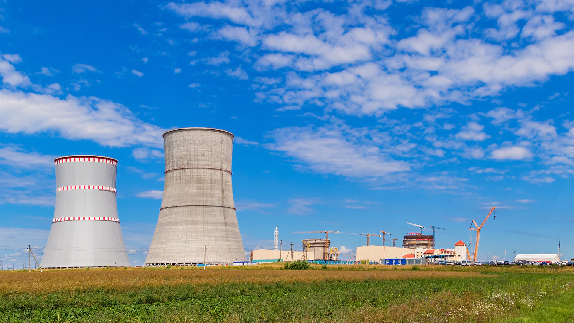
Built about 30 miles from Lithuania’s capital city of Vilnius, the Astravets multireactor nuclear power plant in Belarus is due to begin full operations soon, after eight years of construction. The power plant has been a cause for ongoing regional tension and international concern, particularly for Lithuanian government leaders, who consider Astravets a potential risk for a nuclear radiation leak—one that could easily reach a third of Lithuania’s 2.8 million people.
Consequently, Lithuania’s national leaders instituted civil protection measures. A wide array of federal agency stakeholders participated in this process, including the Fire and Rescue Department (FRD), which is under the Ministry of the Interior; the Government Emergency Commission; subordinate agencies; and other ministries and municipal organizations. Experts at the FRD and the Ministry of the Interior drafted an associated National Emergency Plan for Nuclear Accidents to prepare for the possibility of a nuclear or radiological incident.

In October 2019, Lithuanian government officials directed FRD staff to lead a four-day, multiagency simulation of a nuclear accident. The team needed to thoroughly evaluate its disaster preparedness, response, and recovery procedures to be sure everyone would be ready in the event of a radioactive threat to the Lithuanian people. The objective of this real-world exercise was to put into practice the skills and capabilities of the agencies that comprise the Lithuanian civil protection system by performing the functions defined in the National Emergency Plan for Nuclear Accidents.
“The exercise would allow us to test and practically measure the implementation of functions foreseen in the national plan,” said Edgaras Geda, head of the civil protection board at FRD. “Preparation and planning for the exercise would be beneficial to participating institutions, enabling them to better understand the complex issues related to a potential radioactive accident at the Belarusian NPP. The exercise would also measure interagency cooperation and provide a common understanding of how to carry out the emergency functions.”
To perform the emergency simulation effectively, the team needed tools that could help establish a new workflow for the documentation, analysis, and distribution of key operational performance indicators. Esri’s local distributor in Lithuania, Hnit-Baltic, introduced FRD to ArcGIS Enterprise, a complete geospatial system that operates behind an organization’s firewall or in the cloud, to use for the exercise. The spatial technology included with the platform, such as smart maps, dashboards, and mobile apps, would help stakeholders document, assess, and share safety issues and potential challenges realized during the simulation.

Familiar Technology Creates a Common Operating Picture
FRD was actually already familiar with Esri technology. For more than a decade, the department had used earlier versions of the ArcGIS platform, so staff understood that new ArcGIS technology, supplemented with a customized Radiation Incident Module (RIM), could provide a comprehensive process monitoring solution for the emergency exercises.
“With ArcGIS, we would be able to combine spatial data from different sources and provide a real-time common operating picture of the emergency exercises to all involved institutions, shared on smart maps,” said Geda. “This was very important for us, not only for the decision-making process within the civil protection system but also for our public information sharing efforts.”
For the drill, FRD used the following tools in ArcGIS Enterprise to create a common operating picture for all participants:
- Interactive smart maps informed citizens located within the affected radius of what was happening.
- Thirteen different operational dashboards displayed the status of alarm systems, who among citizen volunteers had been briefed, the movement of the simulated radiation cloud, the progress of teams collecting data in the field, and more.
- Mobile apps were used to assign tasks to field personnel who, in turn, used them to record data. These included specialized apps for Lithuania’s Environmental Protection Agency and the Radiation Protection Centre.
- ArcGIS StoryMaps provided RIM users with detailed exercise information in a visual format.

Up-to-Date, Visual Information Aids Decision-Making
The simulated nuclear emergency exercise was a rousing success. The team achieved its objective: to measure, improve, and put into practice the skills and capabilities agencies would need if there were a radiation leak at the Astravets nuclear power plant.
“The ArcGIS platform proved to be very useful for the emergency drills, as it provided a single, reliable source of data and information for all of our users, at all levels, displayed on maps,” said Geda. “As a powerful visualization tool, ArcGIS contributed to improved organization, justification of management decisions, and [the] warning and directing [of] residents through public awareness channels, which helped both government institutions and society.”
FRD successfully deployed the local population warning and information system. Sirens alerted volunteers who participated in the drill about mandatory evacuations, while additional warning messages were sent to mobile phones and communicated on national television and radio broadcasts. Citizen volunteers within the exposed radius were efficiently evacuated, registered by authorities, washed, and given fresh clothing before being taken to safe locations for medical testing.
Additionally, the team was effective at launching the radiation hazard warning and monitoring information system (RADIS). Staff from FRD and its partner agencies harvested field data from municipalities via RIM apps, then analyzed and evaluated the results against their emergency exercise goals. Officials also held regular public briefings to provide citizens with the real-time status of simulation activities via an interactive map published to a public emergency website.

“All involved authorities across 19 different operational centers benefited from using the same operational tools from ArcGIS. This simplified all of our processes, including the gathering and arranging of real-time data displayed on shared operational maps and dashboards,” said Geda. “Up-to-date information helped the FRD make well-informed decisions and in-time recommendations to exercise efficient public warnings.”
Lithuania Proves That It’s Ready
International observers from Latvia, Poland, Estonia, and the United Kingdom attended Lithuania’s emergency nuclear simulation. Observers expressed an appreciation for the overall process, the arranged tools, and the technical capacities used to perform the simulation. Officials from the Ministry of Interior and other national authorities in Lithuania recognized the FRD for successfully executing the emergency drill.

“The results of the exercises were very satisfying,” said Geda. “All participating institutions gained valuable experience and stronger knowledge of the practical use of ArcGIS during the drills. We saw no issues concerning the processes, workflows, or the integrity of the data, thanks to the assistance provided by Hnit-Baltic representatives.”
Lessons learned from the four-day simulation have enabled the Lithuanian government to maximize its emergency preparedness and response efforts. Should a real nuclear incident occur, the Lithuanian people can rest assured that the FRD and partner agencies have the GIS tools and technology they need to efficiently alert, inform, and evacuate them to safety zones.