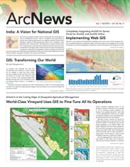
Esri ArcGIS for Server adds geographic data and analysis to web applications that serve organizations and communities in a variety of ways. To submit an ArcGIS for Server site address and view other websites powered by ArcGIS for Server, visit esri.com/serversites.
City of Charles Sturt, Australia
dekho.charlessturt.sa.gov.au/Dekho
The City of Charles Sturt, Australia, created an easy-to-use mapping site to provide council residents with address, zonal, storm water infrastructure, and flooding information.
Languages of Melbourne
demoportal.esriaustralia.com.au/public/LanguagesOfMelbourne
To understand the linguistic makeup of Melbourne, Australia, Esri Australia Pty. Ltd. created a web map overlaid with Twitter data showing the top five languages spoken in Tweets sent from Melbourne.
Solar Simplified
solarsimplified.org/solar-resources/solar-map
Salt Lake County, Utah, and Utah’s Automated Geographic Reference Center created an interactive map to calculate solar rooftop potential in Salt Lake County.

