Today, there is more geospatial data being produced than ever before. Countless sensors of all kinds measure values that are stored in databases, which are linked to other databases and embedded in spatial data infrastructures that follow standards and accepted rules. There is also no shortage of other modern data collection technologies, such as unpiloted aerial vehicles; data modeling products, from service-oriented architectures to cloud computing systems; and tools for visualizing and disseminating data, including augmented reality.
With such an abundance of data—including what’s known as big data—one major issue is figuring out how to mine data efficiently to find relevant information and link it to a particular scenario. Software and app development typically starts here, with developers trying to work out what to do with so much data. I call this the data-driven approach to making geospatial products.
Additionally, new software, apps, and systems get developed all the time. It seems that just when geospatial practitioners begin to see the potential of a particular type of data acquisition, modeling, or dissemination technology, new technologies are created that need to be considered, evaluated, and—if they’re good—implemented. Software and app development also often begins here, with developers trying to figure out how to make something with a new piece of technology. I call this the technology-driven approach to making geospatial products.

But the question of how human users will employ these tools is frequently only taken into account when the data- or technology-driven software, app, or system has already been built. This produces a marketplace full of products that are inefficient or even unusable. If, however, developers begin by considering what human users need to solve the problems they’re facing, then more people could apply data and technology to their needs. I call this the user-centered approach to making geospatial products.
How can those of us who work in fields related to geospatial information ensure that spatial data is really applicable for governments, planners, decision-makers, and others through software, apps, and systems that are efficient and easy to use? Maps and cartography play a key role.
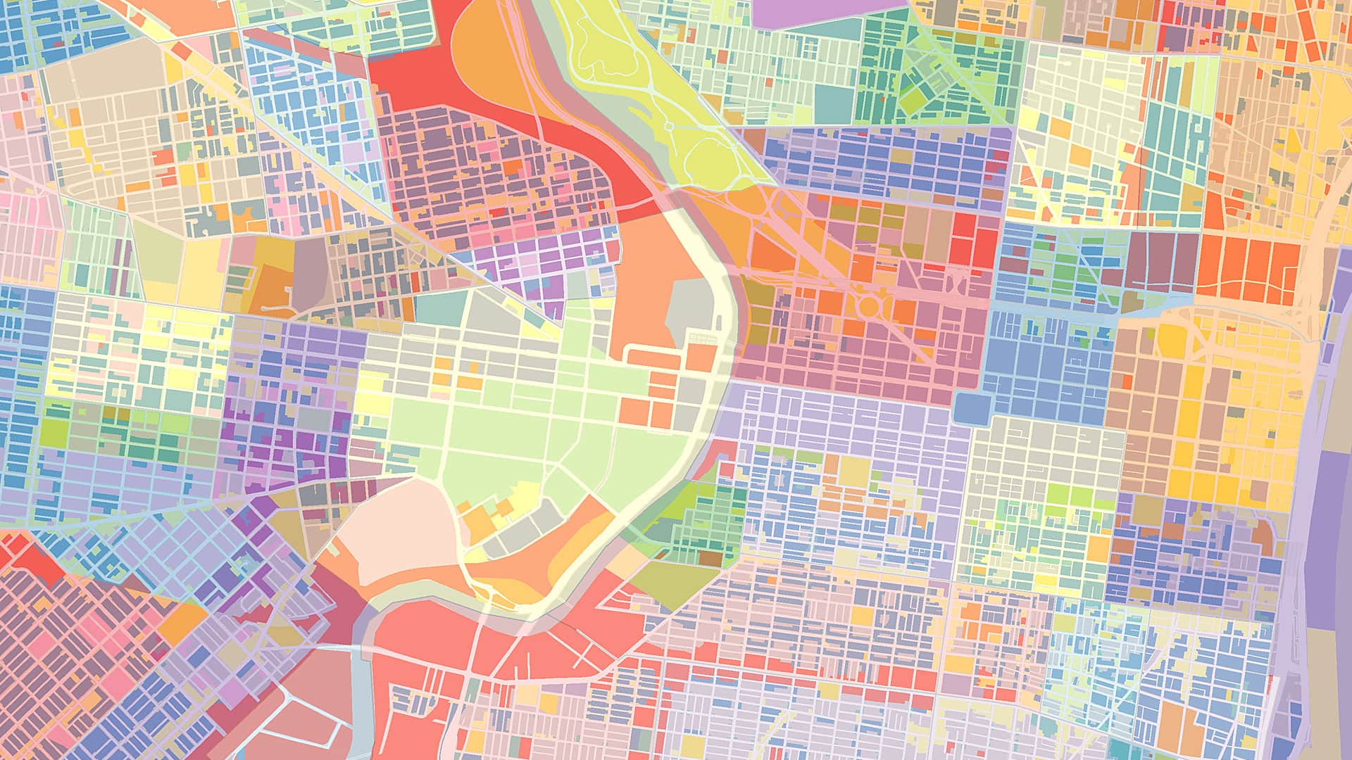
Maps enable humans to understand complex situations efficiently. They organize information based on spatial context and help users answer location-based questions, making them the perfect interface between data and human users.
Today, any individual who has even modest computing skills can create and use maps anywhere, for almost any purpose. Often, people produce and use maps to address needs that arise instantaneously when they are in a particular location. Think about searching for a restaurant to go to or analyzing, from the field, where a wildfire is headed next. In these instances, cartographic data in its finalized form is usually delivered to users digitally—sometimes even in real time, as the data is collected.
While these and other advances during the past decade have enabled mapmakers to significantly improve how maps are designed, produced, and implemented, many cartographic principles remain unchanged. The most important one is that maps are an abstraction of reality. Visualizing data means that some features of reality are depicted more prominently than others, while many features might not even be depicted at all. Abstracting reality is a necessary part of making powerful maps, as it helps users efficiently understand and interpret complex situations.
For example, when a natural hazard such as a hurricane or an earthquake occurs, first responders need to see quickly produced, imagery-based maps of the affected area to determine where to direct their resources first. As the disaster management process continues, crowdsourced data, risk maps, and data modeling and visualization become imperative for experts, decision-makers, and members of the public to quickly collect and disseminate crucial information with the goal of fostering widespread understanding of the situation.
In circumstances like these—and countless others—people would be spatially restricted without maps. Knowing the locations of objects and the spatial relationships among various entities is critical to being able to learn about and act in a space and, ultimately, make good decisions.
Information is already available anytime, anywhere. And people are beginning to feel spatially inadequate when they’re not using map-based services that allow them to see who or what is near them, search for things based on their current location, and collect accurate and timely data on-site. Soon, data delivery will be even more tailored to each user’s context and needs. Thus, cartographic services will be ubiquitous and used daily by even more people all over the world.
But the ongoing successful development of modern cartography requires taking an integrated, interdisciplinary approach to conceptualizing and producing maps. Practitioners in computer science, communication science, human-computer interaction, telecommunication science, cognitive science, law, economics, geospatial information management, and cartography need to come together to ensure that app development centers on what human users need and want. This requires those who are interested in maps, mapping, and cartography to work together on an international level.
That is exactly what the International Cartographic Association (ICA) cultivates. As the world-renowned, authoritative body for cartography and geographic information science (GIScience), the ICA consists of national and affiliate members from various governments, companies, and universities all over the globe. And the ICA has three key messages about the state of cartography today and going forward:
- Cartography is relevant. Modern cartography is key to modern society. Having knowledge about where objects are located and the spatial relationships among them is important for enabling economic development, managing and administering land, handling disasters and crisis situations, and simply being able to make decisions on a personal scale about where to go and when.
- Cartography is progressive and forward-looking. New and innovative technologies impact what cartographers do. Various ways of acquiring geospatial data, from laser scanning to remote sensing, affect how maps get derived—some of which are now created automatically. Smart models can be built using geospatial data, allowing people to do in-depth analysis of structures and patterns. And a whole range of presentation forms are available nowadays, from maps that appear on mobile phones to geoinformation presented as augmented reality. There is surely more to come, and that can already be seen in how knowledge networks and knowledge infrastructures, cognitive feedback loops, and artificial intelligence are being applied in cartography.
- Cartography is attractive. Well-made maps and other cartographic products are striking, captivating, and fascinating. Many people like to use maps, play around with maps on the internet, and simply want to look at them. In the past decade or so, there has been a dramatic increase in the number of map users, and that will only grow as geospatial data and technology continue to advance.