Telling Stories with Maps: Lessons from a Lifetime of Creating Place-Based Narratives
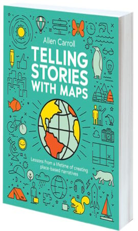
By Allen Carroll
While humans have used maps for centuries—from scraping patterns in the sand to charting every place on Earth—the digital age has revolutionized the way maps are created, distributed, and consumed. The internet forged enormous opportunities for storytelling, enabling maps to interact with other multimedia elements, including photos, videos, audio, and text, to tell countless tales about the world. In Telling Stories with Maps: Lessons from a Lifetime of Creating Place-Based Narratives, author Allen Carroll brings his 27 years of experience working for both tle National Geographic Society and Esri to showcase how maps tell stories and enrich narratives by providing context and insight. The book, which features a foreword by Lonely Planet cofounder and renowned travel writer Tony Wheeler, contains rich illustrations, with examples ranging from traditional maps to the latest digital visualizations. Readers will be inspired to produce place-based narratives that intrigue their audiences.
- June 2025, 244 pp.
- Ebook ISBN: 9781589487956
- Paperback ISBN: 9781589487970
Tactile Mapping: Cartography for People with Visual Impairments
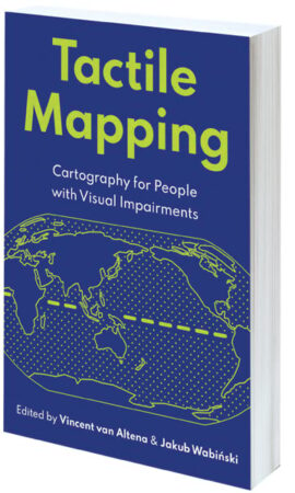
Edited by Dr. Vincent van Altena and Dr. Jakub Wabiński
While most people rarely think about their eyes’ capacity to capture the world around them, for many people, injuries, illnesses, aging, and other health issues hinder their ability to see and navigate their surroundings. When it comes to maps, assistive technology can only do so much and often can’t relay the nuances of a landscape, changes in elevation, or the presence of nearby bodies of water. This lack of geographic awareness makes it difficult for people with visual impairments to explore unfamiliar neighborhoods and gain a geospatial understanding of local, regional, and international phenomena. Tactile maps can be life-changing for people with visual impairments, offering them greater independence and inclusion. Yet much of the research done in this field has been inaccessible to a broader audience. Tactile Mapping: Cartography for People with Visual Impairments aims to bridge this gap by exploring the subject from a multidisciplinary perspective, illustrating cartographic theory with real-life case studies and user stories. A collaboration among skilled professionals, domain experts, and people with visual impairments, Tactile Mapping offers fresh insight from three perspectives: user experiences, scientific research, and practical implementations. The book offers cartographers and other geographic practitioners new knowledge on the foundations and methods of presenting geographic information in more accessible ways.
- August 2025, 270 pp.
- Ebook ISBN: 9781589488366
- Paperback ISBN: 9781589488359
Esri Advanced Guide to Python in ArcGIS
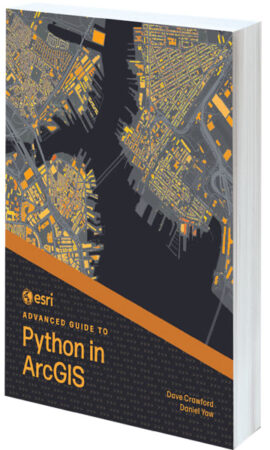
By Dave Crawford and Daniel Yaw
Are you ready to take your Python knowledge to the next level? Esri Advanced Guide to Python in ArcGIS teaches readers how to integrate Python with ArcGIS capabilities. With step-by-step tutorials that get increasingly complex with each chapter, authors Dave Crawford and Daniel Yaw teach readers technical and problem-solving skills that can be applied to job-focused assignments, including understanding client needs, performing market analytics, and managing ArcGIS Online organizations. Intermediate and advanced programmers looking to enhance their GIS capabilities will be able to take the concepts outlined in the book and immediately use them in projects.
- June 2025, 268 pp.
- Ebook ISBN: 9781589488243
- Paperback ISBN: 9781589488236
Top 20 Essential Skills for ArcGIS Experience Builder
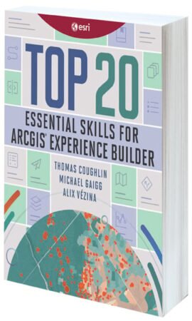
By Thomas Coughlin, Michael Gaigg, and Alix Vézina
Beginners and experienced GIS users alike will gain a better understanding of how to use ArcGIS Experience Builder by reading Top 20 Essential Skills for ArcGIS Experience Builder. In bite-size chapters, readers learn what kinds of apps they can make with Experience Builder and how to make those apps look good. Each of the chapters takes about 45 minutes to complete and, together, they cover how to create apps to visualize data, perform analysis, explore 3D environments, and more.
- July 2025, 346 pp.
- Ebook ISBN: 9781589487925
- Paperback ISBN: 9781589487949
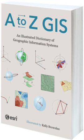
A to Z GIS: An Illustrated Dictionary of Geographic Information Systems
By Esri
As GIS has evolved and grown, so has the language of this powerful technology. With more than 1,400 new terms and nearly 400 high-quality illustrations, the third edition of A to Z GIS: An Illustrated Dictionary of Geographic Information Systems helps readers elevate their understanding of GIS. Written, developed, and reviewed by more than 200 subject matter experts, this comprehensive, fully cross-referenced dictionary—with nearly 3,000 terms in total—is essential for managers, programmers, users, writers, editors, and students discovering the interdisciplinary nature of GIS.
- March 2025, 354 pp.
- Ebook ISBN: 9781589488120
- Paperback ISBN: 9781589488113
GIS Tutorial for ArcGIS Pro 3.4
By Dr. Wilpen L. Gorr and Kristen S. Kurland
GIS Tutorial for ArcGIS Pro 3.4 is the premier book for anyone looking to learn ArcGIS Pro. Written by award-winning Carnegie Mellon University instructors Dr. Wilpen L. Gorr and Kristen S. Kurland, GIS Tutorial for ArcGIS Pro 3.4 introduces readers step-by-step to basic ArcGIS Pro skills, such as how to design a map, use file geodatabases, perform geoprocessing and geocoding, and do spatial analysis.
- June 2025, 326 pp.
- Ebook ISBN: 9781589488175
- Paperback ISBN: 9781589488151
Getting to Know Mobile GIS
By Dr. Pinde Fu
“Mobile first” and the “post-PC era” aren’t just buzzwords; they represent today’s reality. Within the GIS industry, the mobile internet has profoundly transformed how people acquire, visualize, analyze, and disseminate geospatial information. Getting to Know Mobile GIS helps GIS professionals and students grasp the opportunities presented by Mobile GIS across business operations in a variety of organizations. Using a low- to no-code approach, the book includes detailed tutorials that make the principles of Mobile GIS fun and easy to learn. It helps readers become immediately productive in creating enterprise GIS solutions for online and off-line spatial data visualizations, data collection, location sharing, and workforce coordination.
- February 2025, 286 pp.
- Ebook ISBN: 9781589488083
- Paperback ISBN: 9781589488076
Top 20 Essential Skills for ArcGIS Utility Network

By Melissa L. Mayo, Christopher Cremons, and Remi Myers
Top 20 Essential Skills for ArcGIS Utility Network is a practical guide for GIS technicians and analysts who already use ArcGIS Utility Network or are migrating to it. The book focuses on 20 essential skills for using Utility Network that were chosen based on user input and suggestions, as well as troubleshooting done over the past few years. Short, to-the-point chapters with detailed tutorials simplify important tasks, giving readers a solid foundation in Utility Network workflows and processes.
- July 2025, 268 pp.
- Ebook ISBN: 9781589488281
- Paperback ISBN: 9781589488274

