Using ArcGIS QuickCapture, King County, Washington, Improves Information on Invasive Plants
Preserving the unique ecosystem of King County, Washington—home to diverse landscapes, animals, and exotic native plants—requires tailored programs and dedicated individuals. In this area, noxious weeds pose a danger to regional habitats. These invasive, non-native plants threaten crops, local ecosystems, and fish and wildlife habitats; cost millions of dollars in lost agricultural production; and harm the environment.
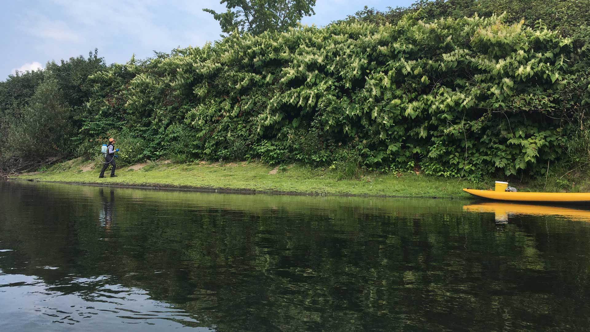
In 1996, King County introduced its noxious weed control program to reduce the impact of invasive plants, including knotweed, across the county. Knotweed primarily affects riparian areas—the spaces between land and a river or stream—and completely alters the habitat where it is present.
“Knotweed has had a major ecological impact on our rivers and plant communities,” said Sasha Shaw, King County’s communications specialist. “It’s outcompeting the native plants, and that has really had a big impact on the in-stream salmon habitat. It has also reduced diversity for birds, native wildlife, and native plant habitats.”

The program’s staff work with private agencies and landowners on detection and prevention, conduct public education and outreach, and perform crucial field surveys. Collecting data in the field is essential for tracking and reducing noxious weeds. For this, crews used to rely on paper forms. But in July 2018, the county implemented Esri’s new ArcGIS QuickCapture app, which allows users to record locations, photos, and other attributes in the field and send them back to the office in real time with a single tap on a mobile device.
“ArcGIS QuickCapture was an instant hit,” said Patrick Sowers, one of the program’s noxious weed specialists. “It was the perfect data collection app for us to use in the field and gives us the ability to get the information we need in real time.”
A Time-Consuming, Labor-Intensive Process
According to Sowers, field crews control large areas and are responsible for tracking the exact locations of weeds to monitor progress. They document the areas they inspect and note whether a weed is decreasing in size over time.
To do this, crews were using paper forms to record data and take notes on individual weed infestation points. After the fieldwork was done, the weed specialists combined these paper notes with downloaded GPS data back at the office and manually entered the resultant information into a geodatabase. Additionally, crews were responsible for manually recording attributes on cards that captured GPS points and were processed at the end of weed season in the fall. Weed specialists then entered all this data into ArcGIS Desktop so it could be mapped, analyzed, and shared. Each point had to be manually updated with attribute data.
Staff described this process as time-consuming and labor-intensive. And because so much manual processing was required, this also meant that information was not immediately available, making it difficult to share in a timely manner.
Program staff needed a way to streamline field data collection, eliminate manual data entry, improve data accuracy, and reduce the amount of time it took to process information.
“There’s a lot of communication [involved in] sharing [our] data because our program interfaces and communicates with other agencies, other crews, and members of the public,” explained Shaw. “And because we didn’t have the data until the end of the year, we weren’t able to share that data in real time and when it would have been useful.”
Staff Give ArcGIS QuickCapture a Go
To streamline field data collection, noxious weed control program staff sought a solution that was app based, GPS aware, and available on handheld devices. The team chose ArcGIS QuickCapture, an app that can help the crew improve field collection and reporting, transmit information in real time for instant viewing and analysis, and monitor progress.

Program staff did a trial of ArcGIS QuickCapture for a few days in 2018 to track knotweed locations along river corridors. They started with 15 users on iPhone 6s and 7s and had such confidence in the data collection that they ended up using ArcGIS QuickCapture for the remainder of the season.
“We selected ArcGIS QuickCapture because it allows us to rapidly collect data and has an easy-to-use interface,” said Sowers. “It seemed like the best option to do what we were looking for.”
Both the implementation of ArcGIS QuickCapture and the training process were straightforward. Field crews had already been using iPhones, so the app was just added to their current devices with no need for additional equipment. Also, because the crew had been collecting similar data in past years, training was simple: staff were shown an overview of the app and how resultant data was displayed.
Improved Accuracy with Real-Time Data Capture, Transmission
Since employing ArcGIS QuickCapture, King County’s noxious weed control program has seen significant improvements in work processes, both inside and outside the office.
The switch from manual processing to real-time data transmission streamlined the team’s workflow. The program has reduced postfieldwork processing times by 90 percent, which translates to days and weeks of time saved. Staff now have more time to continue their work in the field and focus on other projects.
Harkeerat Kang, a GIS specialist-master with King County, said the ability to configure the buttons quickly in ArcGIS QuickCapture has simplified data collection and reduced the complexity of capturing data in the field. Sowers added that the speed of data collection substantially improved with ArcGIS QuickCapture, noting that staff can now record data points rapidly. In addition, field staff no longer need to take their devices back to the office to download data.
“ArcGIS QuickCapture enables us to get real-time data back, since we don’t have to download data off the units, which has been one of the biggest time-savers,” said Sowers. “That—and the manual postprocessing of data—was a lot of extra work that QuickCapture got rid of.”
Data accuracy has also improved with ArcGIS QuickCapture. Kang explained that with the end-of-season processing, it was difficult to remember changes in the data or to know whether something had gone wrong during recording. However, with real-time data, staff can review collected data fast and make changes on the spot, if needed, to ensure accuracy.
Real-time data transmission also improved field coverage. According to Sowers, staff wouldn’t know until the end of the season which areas had been visited by field crews. Now, staff have the data they need to ensure better area coverage and can see, in real time, the places that still need a visit during the season.
ArcGIS QuickCapture also provides data in a hosted format that’s ready to share. In the past, King County’s noxious weed control program collected, processed, and stored GPS data locally and then information was sent to requesters via email. Now, staff have the option to send maps with live views as opposed to static images.
“Being able to show where the weeds are in time for [external agencies and field crews] to actually control them will improve the overall management of the noxious weeds in the long term,” said Sowers.
No Downsides So Far
The successful implementation of ArcGIS QuickCapture is engendering its use in other areas of the program as well. For example, staff are employing it this year to track plants on roadsides. Additionally, external agencies that work with the program, such as the Department of Ecology’s Washington Conservation Corps, will use the app to collect field data.
A total of 30 people at King County are now using ArcGIS QuickCapture in the field, and that number is growing.
“The users really like it, and so far, it’s [received] really good reviews,” said Sowers, referring to the app. “We don’t have any downsides yet. We are excited to keep using it to improve how we share and collect data.”