UPLAN Provides Model for US DOTs

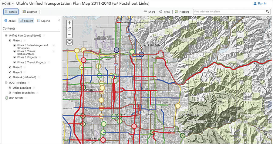
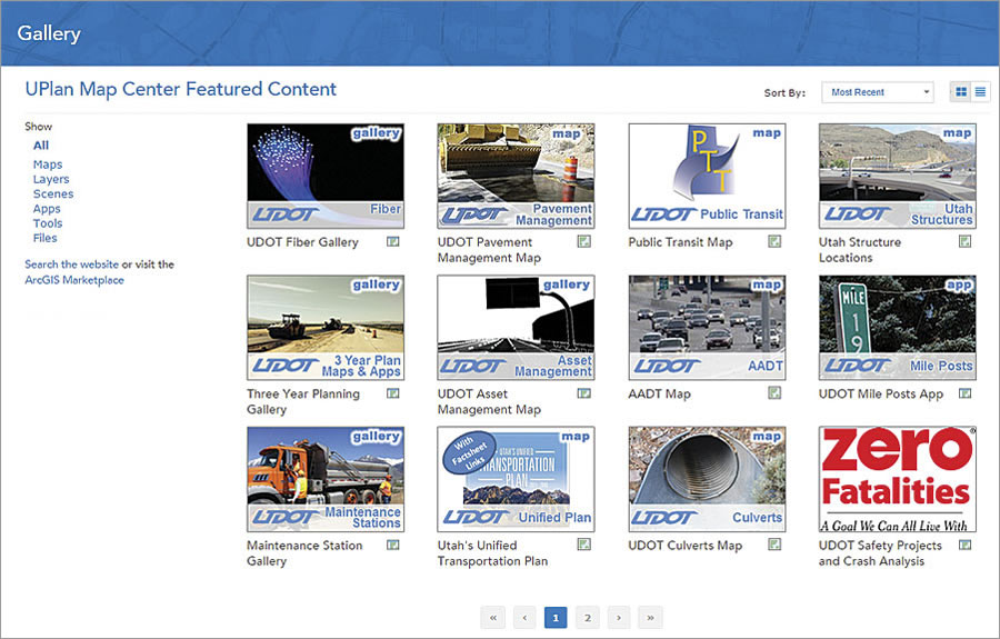
The Utah Department of Transportation (UDOT) uses ArcGIS Online to power UPLAN, an interactive mapping platform that includes information about the state’s unified transportation plan, pavement management, safety and crash analysis, bridge locations, bike lanes, mileposts, and more.
UDOT needed a mapping solution for a long time. The department manages 5,800 miles of roads and highways with goals to reduce crashes, injuries, and fatalities (to zero if possible); preserve transportation infrastructure through proactive investments; and optimize mobility across the state via innovative designs.
This work requires access to extensive amounts of data: traffic volumes, accident statistics, pavement conditions, and much, much more. But for years, data was isolated so that only some UDOT employees could see it.
“We didn’t know how to get at it,” UDOT planning director John Thomas said.
Spatial data for projects wasn’t always on maps either. At meetings, engineers devoted a lot of time to describing spatial information.
“We would spend half the conversation trying to describe a location and issue when a simple map would allow the discussion to address the issues at hand much more effectively,” Thomas said.
After several attempts to devise mapping solutions of its own, UDOT turned to Esri and ArcGIS Online to provide exactly what the department needed: a browser-based GIS application that fostered organization-wide access to data-driven map viewers published as web services.

“It was a perfect match,” Thomas said. “UDOT had the business need, and Esri had the software.”
Transformed by Maps
UDOT had used Esri software before, but ArcGIS Online was transformational. The service enabled UDOT to publish maps, tools, and apps to its internal website. Non-GIS staff across the agency could view and analyze data intuitively on user-friendly maps. Collaboration spread throughout UDOT as employees began embedding maps in websites and putting them on mobile devices. Anyone who needed data could access, query, analyze, and edit it via ArcGIS.
UDOT was also an early adopter of Esri Maps for Office, which let users quickly build maps in Microsoft Excel. Employees published these maps as live web maps, which could also be integrated with other web services. Staff used these in presentations, emails, and Microsoft SharePoint. The web maps were updated every night, so staff knew the information was current.
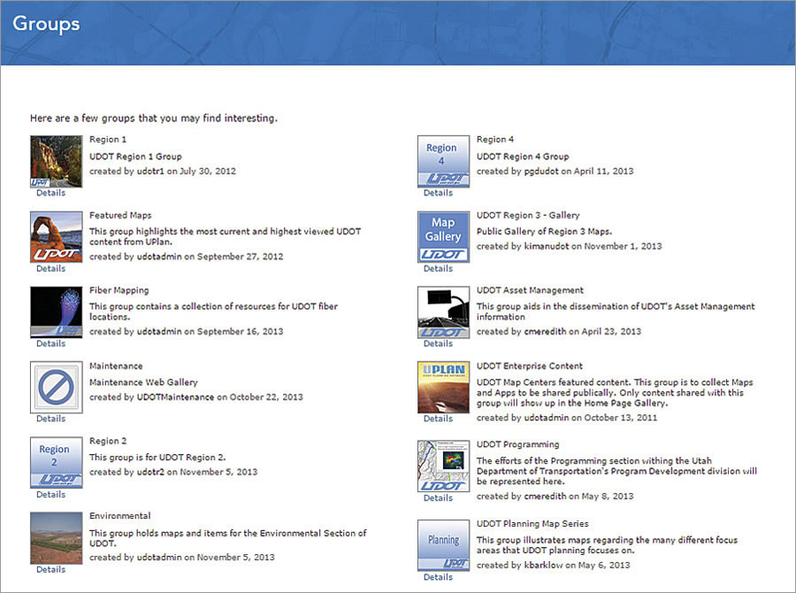
In a perpetuating cycle, employees began to want more information. With ArcGIS Online, they could access groups of content related to road planning, asset management, and more critical roads and highway information. UDOT also started sharing its visual data with partners, who could use the maps themselves.
Staff became more productive at meetings, and projects took less time and money. UDOT used ArcGIS Online to identify potential rail-line corridors in a 200-mile-by-200-mile study area in parts of three states. Using ArcGIS Online, the agency developed 26 corridors, totaling more than 4,000 miles. Screening the 26 alternatives for engineering and environmental feasibility took just two months, at a cost of only $400,000.
“If UDOT had done that before ArcGIS Online, it would have taken at least three years and several million dollars to do the same work,” said Thomas.
By helping UDOT understand where and what assets—such as signs, pavement markings, and rumble strips—are in its system, UPLAN supports decision making at all levels. UDOT managers bookmark UPLAN to access their most-referenced maps. There is seldom a meeting without a live web map, which can be pulled up on any employee’s device. Gone are the spreadsheets and poster boards the GIS department used to supply for meetings. Now, everyone expects a web map. UPLAN also uses a single web map to provide access to its phase-based, long-term planning for Utah’s roads and highways.
Regulatory agencies and UDOT have started to share more information earlier in the process as well. UDOT can produce environmental impact reports in minutes instead of several weeks or months. UDOT’s relationships with federal and state permitting agencies became stronger as information sharing among the agencies created greater transparency during reviews.

Additionally, residents of the state can view some UPLAN maps on the UDOT website. They can find live, mapped access to weather conditions, safety information, and planned road construction projects. The maps foster a greater level of engagement, trust, and involvement between UDOT and the public, as well as regulators.
One DOT at a Time
Thomas quickly realized that UPLAN was unique, though it shouldn’t be.
“Transportation doesn’t stop at the border,” he said.
The United States has never had a federally supported, collaborative framework to view and interpret its entire national road system, and most state departments of transportation have not been equipped with systems like UPLAN, which shocked some officials. Yet transportation is critical infrastructure. Roads and highways are the pulse of the national economy, and optimizing the transportation system improves quality of life. Departments of transportation often get asked for information related to the federal highway system at congressional hearings—but the data isn’t readily available.
So Thomas contacted the American Association of State Highway and Transportation Officials (AASHTO), which circulates technological best practices among departments of transportation through its AASHTO Innovation Initiative. Before long, he started forming a passionate team with goals to share Utah’s experiences with other states and learn best practices from those states.
Thomas’s main questions were critical: How do we share information within our state? How do states collaborate with each other? Does a tool like UPLAN help with a national view that supports US DOT goals?
With AASHTO’s help promoting cutting-edge technology, best practices, and implementation tools, Thomas, Esri’s Terry Bills, AASHTO Innovation Initiative consultant Monica Worth, and others, set out to get each state to develop its own ArcGIS Online system. Esri supported the AASHTO Innovation Initiative by providing a one-year free license of ArcGIS Online to participating states.
The team deployed ArcGIS Online at each state’s department of transportation, often working long and late hours to get to every state quickly. By the end of 2014, 30 departments of transportation across the United States had begun to launch their own versions of UPLAN.
“There has been a lot of interest by states to implement a tool that helps use their information to learn more about their transportation systems,” Thomas said.
The initiative is rolling out state-by-state and, so far, includes Minnesota, North Carolina, and Pennsylvania.
“It’s just kind of everybody talking to each other and understanding each other better,” Worth said. “That’s a demonstration of a really good use of the taxpayers’ dollar to bring information to the public.”

