Start-up businesses are creating hundreds of web services and apps to help governments, businesses, and organizations get more value from ArcGIS Online and their ArcGIS platforms. Their seamless software integrations extend GIS to a wider audience. Some of these new businesses are shooting to the forefront of the GIS market, and ArcNews will highlight a few in a new regular feature. These start-up companies below have developed apps used by local governments.
MindMixer

MindMixer bolsters community engagement by bringing the town hall experience online. City administrators post discussion topics on an interactive engagement platform. Citizens give feedback on focused topics, from library hours to proposed transportation corridors. In addition, an aggregator gleans and analyzes concerns that community members have posted on social media. Three examples of MindMixer projects are My Downtown West by Calgary, Alberta, Canada; chiParks by Chicago, Illinois, United States; and ImproveSF by the City of San Francisco, California, United States.

RideAmigos Corp.

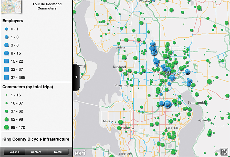
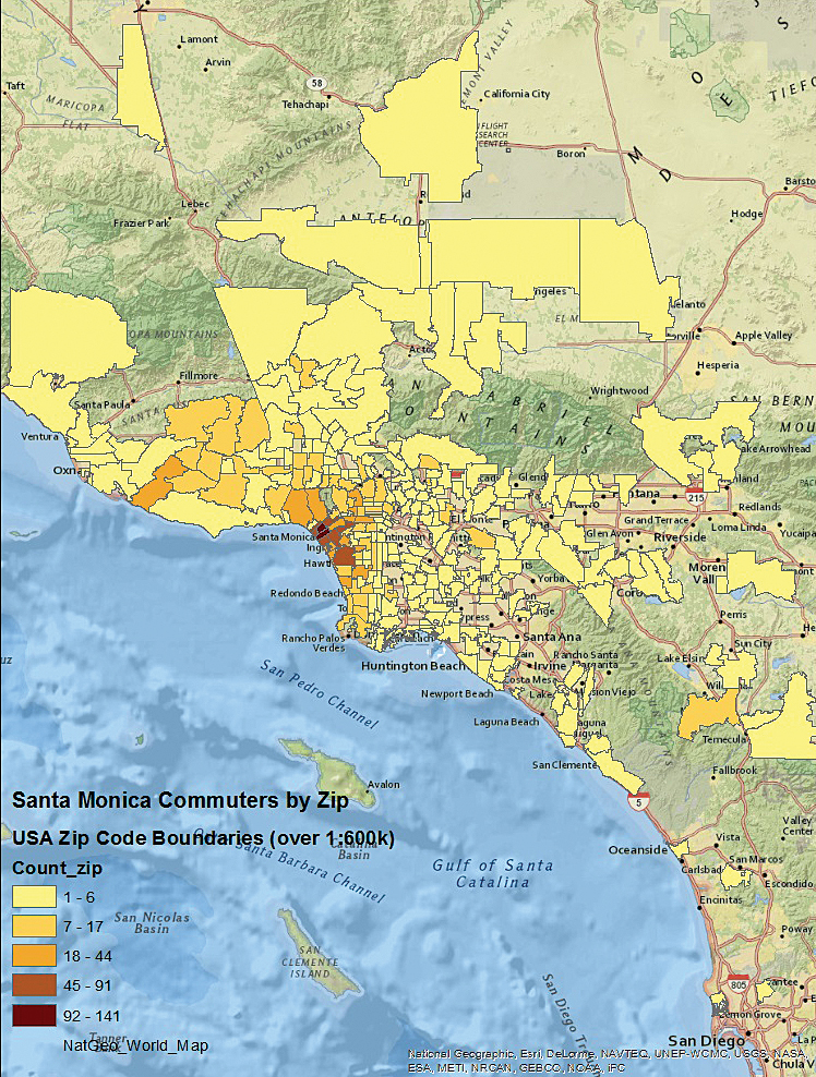
The RideAmigos app classifies fast, efficient, and affordable transportation options, including walking, biking, driving, public transit, and car pooling/vanpooling. A virtual dashboard displays commute options in terms of cost, time, carbon emission, and health benefits. Organizations use it to encourage health, reduce traffic, evaluate travel expenditures, plan trips, and more. Notable projects are GoMIO by Barcelona, Spain; ExperienceLA Integration by Los Angeles, California, United States; and the Tour de Redmond by Redmond, Washington, United States.

Related Video
Dev Chats – Ride Amigos
Jeffrey Chernick of Ride Amigos chats about how they used the ArcGIS API to develop a taxi ride-share program and more. Watch the video. [01:48]
CitySourced

CitySourced invites citizens to identify concerns, such as potholes and graffiti, and use their smartphones to report issues to city government. The information comes into the city’s GIS, which shows the exact location of the problem in real time. CitySourced integrates with the city’s existing system. Some interesting CitySourced services are Harford County Connect by Harford County, Maryland; Can-Do Honolulu by Honolulu, Hawaii; and CitySend by Longview, Texas.


