Esri has a new massive open online course (MOOC) debuting in August: Imagery in Action, a no-cost, six-week course that introduces the latest ArcGIS capabilities for working with imagery and remotely sensed data. Participants will learn ArcGIS workflows for tackling critical imagery and remote sensing tasks—from finding, processing, and analyzing imagery to delivering actionable insight.

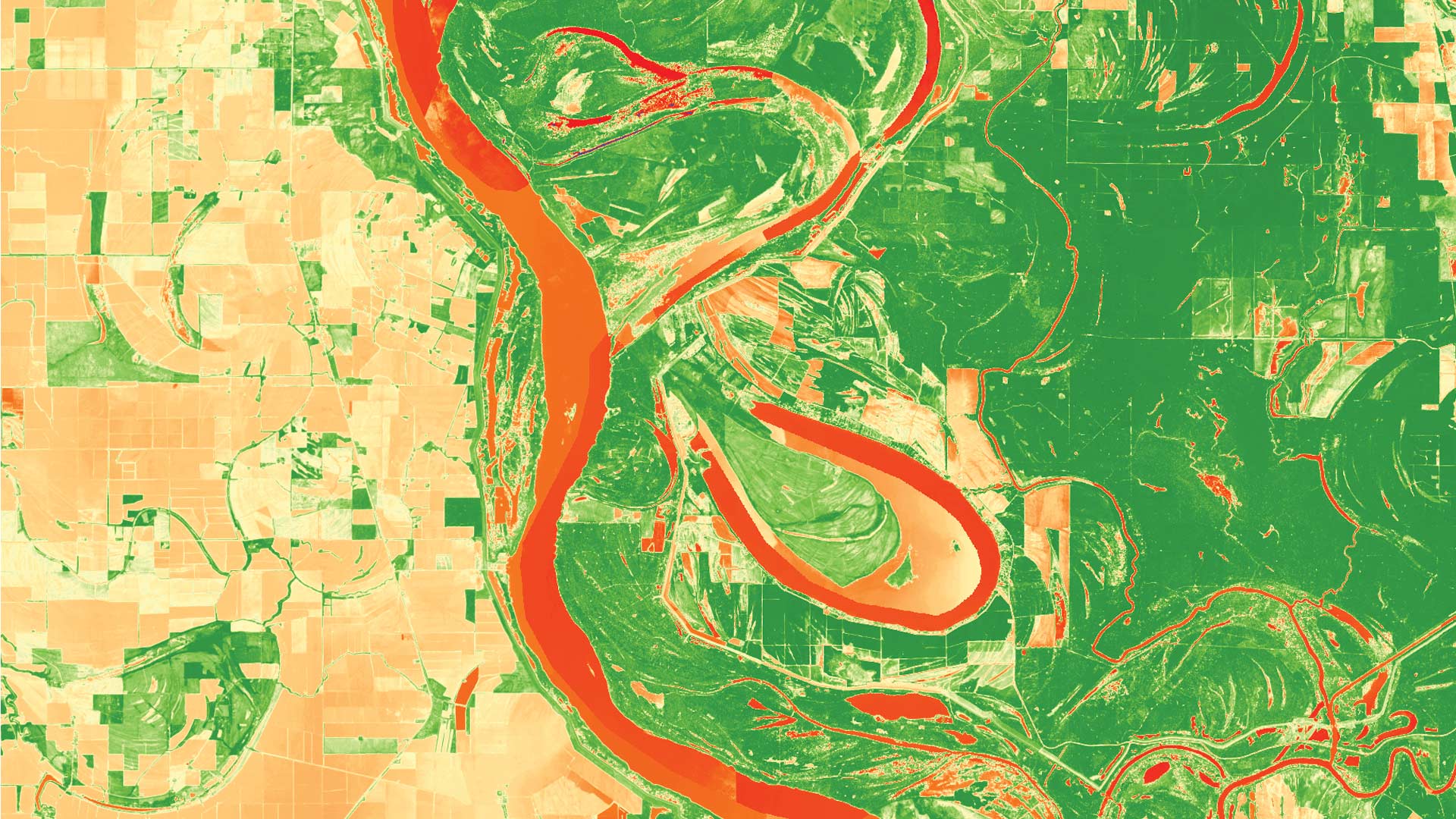
Imagery has become an increasingly valuable source for daily decision-making across various industries, including all levels of government; commercial retail and financial services; utilities; natural resource organizations; and architecture, engineering, and construction firms. As organizations of all types and sizes are challenged by disruptions like climate change; geopolitical and social unrest; and, of course, the global COVID-19 pandemic, they need quick access to reliable information. Imagery offers that, given that it is widely available and fast to procure using unmanned aerial vehicles (UAVs), satellites, and other sensors. And ArcGIS provides robust tools to swiftly ingest, process, visualize, analyze, and share imagery products that are key to maintaining situational awareness, monitoring change, and mitigating risks.
The Imagery in Action MOOC showcases cutting-edge apps and image analysis tools that can help organizations better understand and solve the complex issues they face. Participants will explore the rich repository of high-quality imagery available from ArcGIS Living Atlas of the World and work with ArcGIS Pro, ArcGIS Online, and other ArcGIS software to process, visualize, analyze, and share imagery.

All Esri MOOCs include video lectures by experts on the topic; guided, hands-on software exercises; quizzes; polls; and discussion forums. A new section opens every week that a course is in session, and attendees can study at their own pace when it’s convenient for them. All the software needed to do course exercises is provided. Participants who complete the course content receive a certificate.
Imagery in Action is for anyone who wants to learn—or learn more—about the many uses and types of imagery and the rapidly growing integration of imagery with GIS. The course is especially relevant for GIS professionals, imagery analysts, geospatial intelligence analysts, researchers, and image and data scientists. Experience with GIS or ArcGIS software is helpful but not required.
View complete course details and register for Imagery in Action, which runs August 11–September 22.