
In recent decades, geospatial thinking has fundamentally changed how people see and understand the world. Today, the GIS industry is undergoing an era of profound change, and solutions grounded in geospatial thinking are needed to guide us in a complex future. It’s more important than ever that universities and industry partner on a new approach to cultivate tomorrow’s leaders.
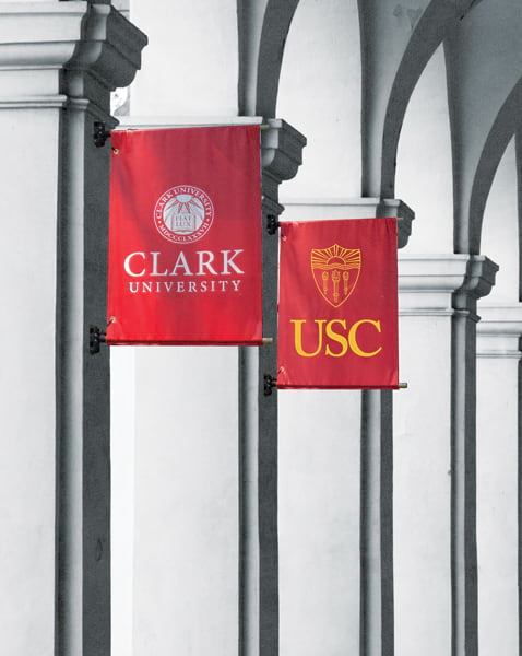
Over the last year, Clark University and the University of Southern California (USC) have collaborated with the World Geospatial Industry Council (WGIC) to create a first-of-its-kind leadership credential: the Doctor of Geospatial Leadership (DGEO). This is not a typical research PhD. As with disciplines like medicine and law, this is a professionally focused terminal doctoral degree. The executive program prepares leaders with the technical understanding of a rapidly changing field and the business acumen to lead organizations in dynamic times.
Traditionally, the geospatial sector has largely been specialized, technical, and siloed. GIS professionals operated in their own corner of organizations. Rarely did they or their work have a place at the decision-making table.
GIS increasingly underpins decision-making across many fields like land-use planning, agriculture, architecture, engineering, construction, logistics, public health, emergency management, and insurance. This shift has been accelerated by innovations in remote sensing, digital twins, AI, cloud computing, and advanced analytics. New technologies and approaches have made spatial intelligence central to tackling some of the world’s biggest challenges, such as climate resilience and public health. The sector’s leadership needs are growing.
As leaders of two institutions with deep roots in spatial sciences and geospatial innovation, we see the GIS industry’s rapid transformation as nothing short of extraordinary. It has grown from a discipline restricted to university labs and company basements to a living nervous system for global decision-making.
With these seismic changes, what organizations and businesses need from geospatial professionals and the programs that train them has also changed.
Research by the WGIC has identified a widening gap between the education currently available to geospatial professionals—including in university settings—and the capabilities employers need. This is particularly relevant at the management level and among mid-career professionals seeking to advance into leadership.
As educators, this research was sobering. It is also a call to action. To serve both the evolving geospatial discipline and society writ large, academia must move beyond merely training technical specialists. We need to train leaders. And we can only do this through deep partnerships within the industry itself.
Many mid-career GIS professionals have spent years developing deep technical expertise in a subspecialty of the sector, but not all of them have the business skills to manage teams and budgets, navigate organizational change, and develop strategies to adopt new technologies. As geospatial technology is embedded in organizations, and as that technology evolves, the people responsible for it must also acquire the leadership skills necessary to use it effectively. This is exactly what the new DGEO programs at Clark and USC will teach.
Designed in collaboration with WGIC and its more than 50 member organizations, including Esri, TomTom, Trimble, and Oracle, the programs will leverage the relationships cultivated by the Clark Center for Geospatial Analytics and the USC Spatial Sciences Institute. Participants will learn through real-world problem sets—often those they will bring from their current positions—and from current industry leaders. DGEO programs are designed for mid- to senior-career professionals with some experience in geospatial roles and interest in advancing as organizational leaders. The program’s low-residency, cohort-based format allows students to maintain their current roles while preparing to lead geospatial enterprises, innovation teams, and data-driven organizations at the highest level. Applications are now open and the first cohort begins summer 2027.
This new professional degree is vital for the geospatial industry, but also for the health of the wider world. Extreme weather and other natural and geopolitical threats are dominating headlines. Communities, businesses, and governments need adaptive, data-informed systems to understand what’s happening and identify solutions they should implement. Spatially enabled precision agriculture platforms, for example, are needed to optimize crop yields and conserve water during severe droughts. Similarly, geospatial workflows allow emergency responders to model real-time wildfire behavior and deploy resources ahead of a blaze. Better-prepared geospatial leadership means more effective ways to build and operate infrastructure. It means determining whether initiatives support circular economies, stronger livelihoods, and climate resilience.
Investing in leadership today will guide how effectively rapidly advancing technologies can be translated into solutions that tackle future-defining challenges.
Technology doesn’t drive progress on its own—people do. As AI, analytics, and other emerging technologies reshape the geospatial industry, the quality of its leadership will determine what those advances actually accomplish. Strong leaders can turn new capabilities into better decisions and greater public benefit and impact. At Clark University and USC, we want to play our part in enabling the geospatial industry to chart a course for a more sustainable and rewarding world.