It Could Steer Some Students Toward Careers in STEM
As a geographer with limited knowledge of geospatial technologies, exploring the world of GIS was a challenge for me. But in early 2014, I joined a team of professors from Oregon State University, where I was an instructor at the time, in a spatial thinking and web mapping workshop led by Joseph Kerski, a geographer and education manager at Esri. This got me excited to introduce my students to geospatial technologies.
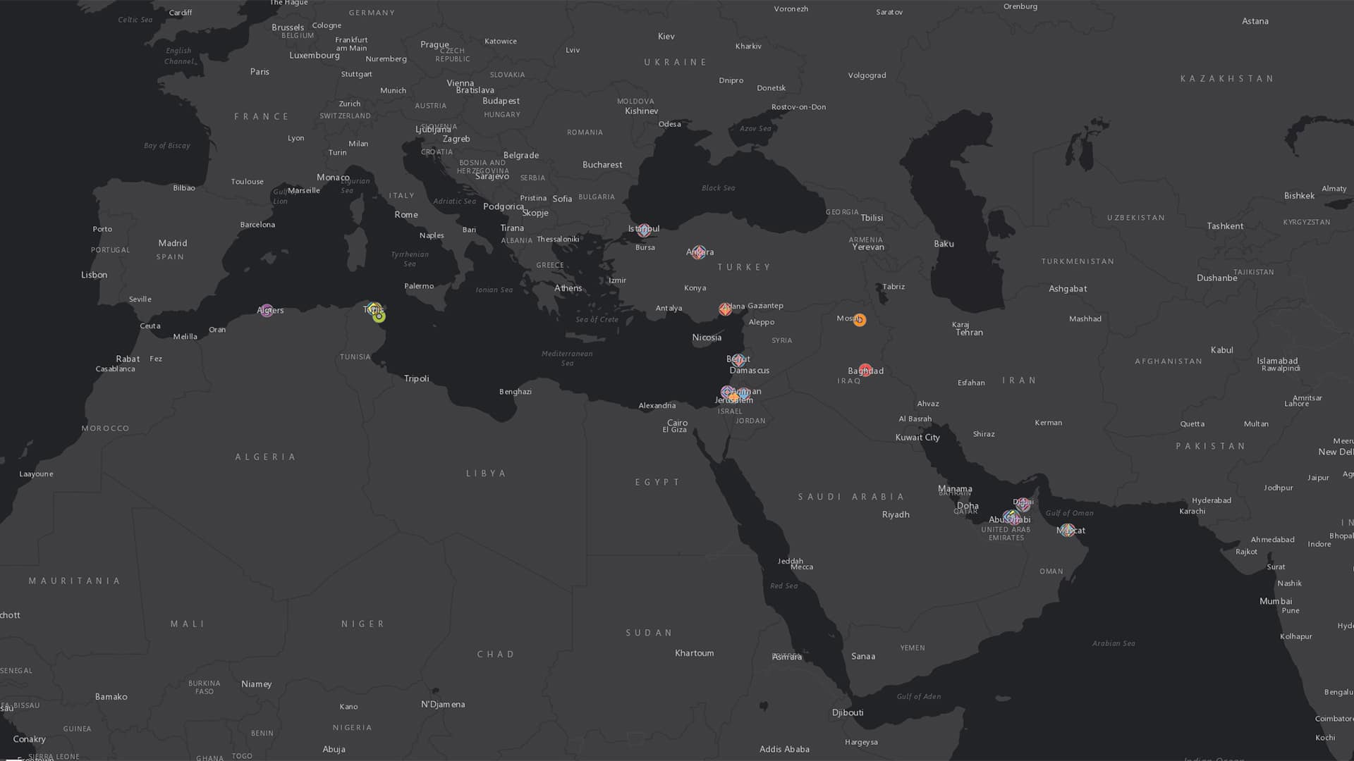
In the ensuing years, my students and I have together gone from building one-off story maps on myriad topics in geography to using ArcGIS Online to assemble and maintain a vast geodatabase that shows where people can obtain health services throughout Asia and Africa.
It was not easy: I had a hard time coming up with a grading rubric; I neglected the importance of data standardization; I ended up with duplicate data entries in a dataset with more than 4,000 data points—and I am still cleaning that manually. But when using geospatial technologies in the classroom starts working like a well-oiled machine, as it is now doing in my classrooms, it is beautiful to see students create engaging geospatial work that, for some, piques their interest in software and could take them down a career path geared toward science, technology, engineering, and mathematics (STEM).
Many teachers are hesitant to use GIS in the classroom. I was, too. Which is why I am presenting my raw, honest lessons learned in hopes that other teachers and professors who may not be technologically inclined are encouraged to give it a try. It is achievable.
To Start: Story Maps
I began using Esri Story Maps apps in on-campus courses in the fall of 2014, when I was teaching a geography of Asia class with more than 65 students in it. I split them up into teams and asked them to select any topic about an Asian country that appealed to them. They then had to generate a coherent story about it.
Esri Story Maps apps are relatively easy to work with from an instructional perspective because students nowadays are so familiar with online apps. The issue I had, however, was with grading them. I had developed a simple A-through-F grading rubric, which worked to some extent but did not provide students with sufficient information on the grading criteria.
After doing this one-term test run in a traditional classroom setting, I introduced the same story map assignment in my e-campus courses. This time, I developed a video tutorial and elaborated on the grading rubric.

I set up the assignment in Oregon State’s learning management system as a multipart project, which allowed me to provide students with substantial feedback as they proceeded. Now, I grade each portion of the rubric as complete or incomplete, and points are only awarded for the final submission.
So far, I have used Esri Story Maps apps in both on-campus and e-campus courses on the geography of Asia, human-environment geography, and environmental justice. Students have created some fantastic story maps, including recent ones on the forgotten farmers of the United States, how eminent domain has disproportionately affected African-Americans, and how Guam’s militarized marinas have contributed to the environmental degradation of native lands.
Next Up: ArcGIS Online
Two terms later, I mustered up the courage to engage with ArcGIS Online in my on-campus geography of the non-western world course, which had a small class size of about 35. I wanted students to learn the process and utility of mapping, in addition to working with the software.
They selected a topic as a class—concert venues in Southwest Asia—and then determined which attributes to map. I split the students up into groups and assigned each group a country to research. I guided the teams through the process of creating mappable data: putting together spreadsheets with appropriate column headers and clearly recorded data, saving the spreadsheets as .csv files, and then uploading them to ArcGIS Online.
Eventually, I collated all their data in one spreadsheet and built a web map with it in ArcGIS Online. At this point, however, I did not know how to configure a pop-up window. I also failed to pay attention to data standardization. So while some students entered concert venue sizes textually, as four hundred, others entered it numerically, as 400. This inconsistency caused distortions in the legend.

Regardless of the shortcomings of this web map, students enjoyed the interactive nature of the platform and appreciated the uniqueness of visualizing spreadsheet-based spatial data. Through this exercise, I also realized that latitude and longitude are a relatively unfamiliar notion for college students. As teachers, we can’t take even the most basic concepts for granted.
In the spring of 2016, I went all in on a similar project in the same course, which, this time, had more than 250 students and two teaching assistants. The students in each lab section were put into groups and assigned a country in Asia or Africa. After brainstorming topics, the class elected to map political protests from 2010 to the present.
Following the same process as before, the class produced a heat map of political protests in Asia and Africa. Visualizing these events on a map and seeing their spatial extent enabled students to further develop their spatial thinking skills.
Once again, the class was focused on the procedural and organizational aspects of the assignment, so we overlooked trying to standardize the data. For the second time, students recorded sizes both textually and numerically, which resulted in inconsistent attribute data. We were able to configure the pop-ups, though.
A Shift: Integrating Google Tools with ArcGIS Online
Over the summer of 2016, I considered more effective ways to collate the data. I decided to use Google Forms, since it was a free way to collaborate on data documentation that imposes a degree of standardization. Google Forms allowed me to set up check boxes for specific attributes, such as number ranges; require students to enter coordinates in decimal degrees; and mandate uppercase letters when necessary.

The following year, using Google Forms, I introduced another 250-plus on-campus students to ArcGIS Online when we mapped health services in Asian and African countries. While I had finally learned to standardize data collection, some of the data quality was questionable. In the map, certain images were not displaying in pop-up windows. I soon realized it was an error on the data collection end: students were submitting URLs to Google search results as opposed to URLs to the dedicated images.
In the subsequent term, my class continued developing the health services topic. This time, I gave students access to the dataset in Google Sheets and asked them to locate new data points for their assigned countries. My teaching assistants worked with each group of students on data collection and entry, as well as mapping.
During this time, I read one of Kerski’s GeoNet blog posts and learned how to use a Google spreadsheet with autorefresh features in ArcGIS Online. This eliminated the need to re-create the map with each new class and set of data points. Students continued to enter their data in Google Forms, and I manually copied and pasted it all into the spreadsheet that links to the health services map I was maintaining in ArcGIS Online.
Going Big: Taking ArcGIS Online to the E-campus
By the summer of 2017, I had worked out the majority of the issues I was having with my on-campus courses, so I ventured to use ArcGIS Online in my e-campus course. I created a two-page manual to guide students on how to use ArcGIS Online and dedicated a discussion board to addressing any problems that came up.
To my surprise, teaching ArcGIS Online via an e-campus course went relatively smoothly. I did have to adjust the manual to include a few steps on how to fix individual maps. But the only big challenge I face now is locating additional information, since my previous students have already mapped what was readily accessible via simple Google searches. Students have begun mining apps such as Facebook, Twitter, Yelp, and Instagram and even scouring hashtags to locate more health centers in Asia and Africa. We will see what kinds of data that produces.
The dataset has now reached approximately 4,000 data points. Although I have gotten pop-up windows and data standardization under control, I continue to struggle with duplicate data entries—even though I’ve given students access to the dataset to check their work. Currently, I am compelled to clean the data manually.
Taking the Leap: Using GIS in the Classroom
The geography program at Oregon State University made a conscious effort to introduce undergraduate students to fundamental GIS functions in Esri Story Maps apps and ArcGIS Online so that upper-division courses could go well beyond the basics. While this was certainly motivating, a program need not require faculty to make that leap. A few professional development opportunities can move the needle in that direction.
So I urge any and all educators—whether you are comfortable with technology or not—to consider using GIS in your courses. It promotes active learning and challenges students to consider how geospatial tools can be used to solve the world’s most pressing problems.