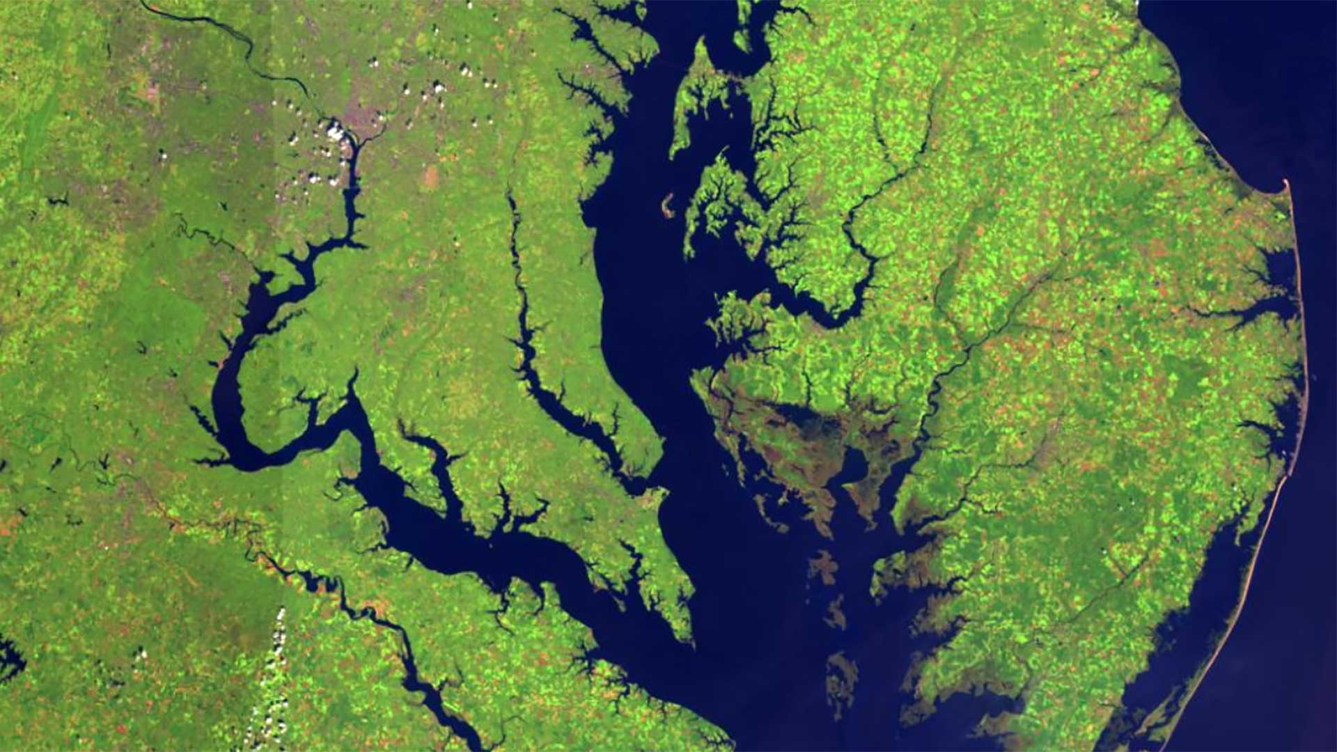
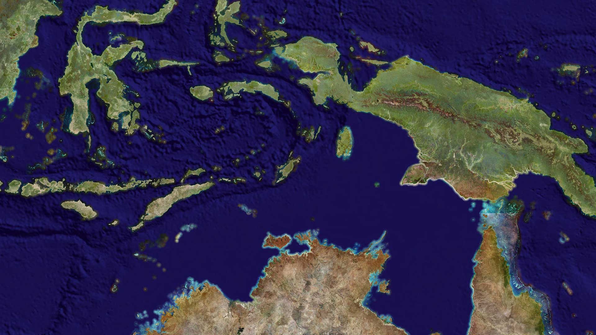
Not too long ago, satellite imagery was often used simply to add visual interest to a map. Today, satellite imagery is used as a layer of information in GIS that empowers users to make informed decisions, address complex challenges, and explore the Earth’s surface. Whether you want to monitor volcanic activity, detect anomalies in deforestation, assess damage after natural disasters, or manage urban growth, satellite imagery is a powerful tool for mapping and visualizing the world.
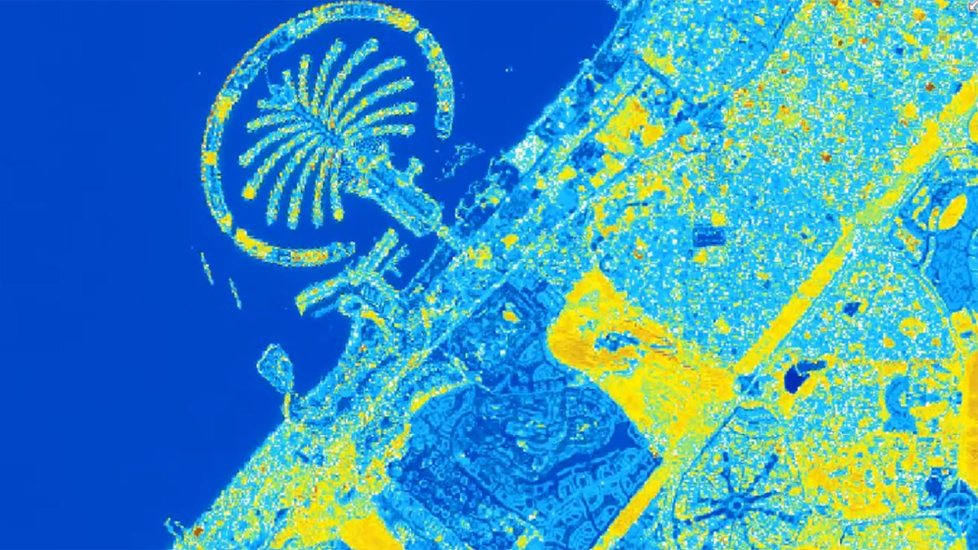
In ArcGIS, satellite imagery supports a wide range of applications—from observing different spectral bands on the electromagnetic spectrum to gathering images to observe change over time. Now you can go further to extract meaningful
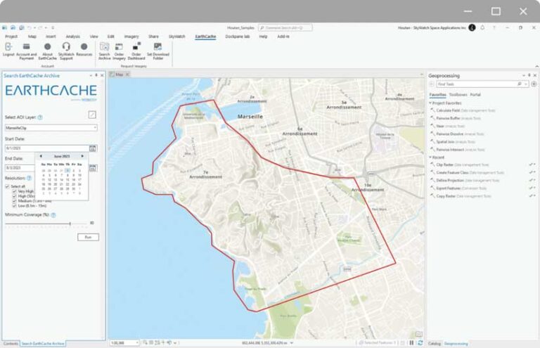
insights from imagery. Accessing massive collections of satellite imagery has never been easier with the recently introduced EarthCache add-in for ArcGIS Pro that was developed in conjunction with Esri partner SkyWatch.
It can be daunting to sort through satellite imagery from a range of providers to find content that fits your needs. SkyWatch has simplified the process of procuring imagery content by bringing together data from a virtual constellation of more than 400 sensors from leading satellite, aerial, and high-altitude pseudo satellites (HAPS) imagery providers to amass one of the largest collections of remote sensing data in the world.
SkyWatch makes accessing and integrating commercial satellite imagery intuitive and simple with its EarthCache platform. This solution enables you to browse large imagery archives for historical data or task satellites to capture new images of an area of interest. Since imagery data needs vary by use case, EarthCache makes it possible to log in, search for images, and buy what you need without worrying about minimum volume commitments or data license agreements.
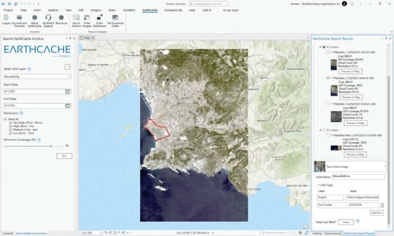
With the introduction of the EarthCache add-in for ArcGIS Pro, SkyWatch’s EarthCache functionality is natively available to ArcGIS Pro users. With procurement of imagery easier than ever, users can now quickly perform analysis to extract features and insights from high-quality satellite imagery. Leveraging this add-in supports various business cases such as urban planning, first responder services, and ecosystem monitoring using capabilities such as artificial intelligence (AI), time series analysis, change detection, and radar analysis from within ArcGIS.
ArcGIS users can order from the archive and task satellites directly without leaving the ArcGIS Pro environment. The EarthCache add-in for ArcGIS Pro offers ArcGIS users:
- A seamless experience for discovering and ordering satellite imagery within ArcGIS Pro.
- Access to multiple data sources, including very high-resolution submeter satellite imagery.
- Simple, transparent pricing with no subscriptions, credits, or minimum annual purchases required.
- The ability to use existing polygon features as the area of interest (AOI) for imagery searches.
- Receive preprocessed, precropped results that are delivered within ArcGIS Pro.
Get Started Now
Create your free EarthCache account.
Download the free ArcGIS Pro add-in and start accessing satellite imagery in ArcGIS.
Additional Resources
View this video on how to perform change detection in ArcGIS Pro with satellite imagery from EarthCache.
This article was authored in collaboration with the SkyWatch team.
About the author