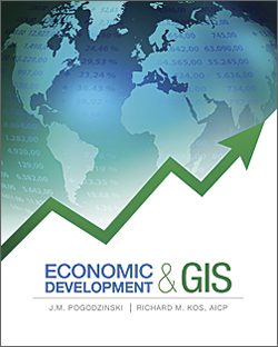
Economic Development and GIS, a new book from Esri Press, demonstrates how the geographic approach is applied to analysis using Esri Business Analyst Desktop, Esri Business Analyst Online, and spatial statistics extensions for ArcGIS for Desktop. According to the book’s authors, J. M. Pogodzinski and Richard M. Kos, “GIS is an essential tool in analysis because of its data management and data manipulation capabilities, analytic tools, potential for reporting and collaboration, and scalability.”
The first section, which supplies background on GIS use in economic development, concludes with a chapter on best GIS practices for economic development analysis that provides an excellent working methodology. In addition to the familiar steps—ask, acquire, examine, analyze, and act—the chapter discussion includes caveats on examining the data being considered for inclusion in the analysis and evaluating the accuracy and validity of results. It also provides advice on documenting project methodology and presenting results effectively.
The approach outlined in the first section is applied to the analyses discussed in the second. Chapters focus on optimal site selection, determining enterprise and other zones, and addressing the mismatch between job location and housing and the costs of commuting. Each chapter emphasizes the importance of understanding the data being analyzed and challenges that may be inherent in it.
The third section addresses aspects of GIS of particular interest in economic development: geocoding, statistics and statistical methods, and the use of raster data and imagery.
Throughout the book, the authors stress the effective use of GIS tools and the application of automation through models when appropriate. Pogodzinski, a professor of economics at San Jose State University who also teaches at City College of San Francisco in California, has served as a consultant to the US Treasury Department on estimating tax revenues in developing countries and to the General Accountability Office (formerly the General Accounting Office) on the impact of federal programs on urban sprawl. Kos is a certified urban planner who specializes in the use of GIS to study land-use change, alternatives to suburban sprawl, and public transportation. He teaches graduate-level courses in community-directed urban planning and GIS at San Jose State University and GIS workshops at City College of San Francisco. Esri Press, 2012, 244 pp., ISBN-13: 978-1589482180
