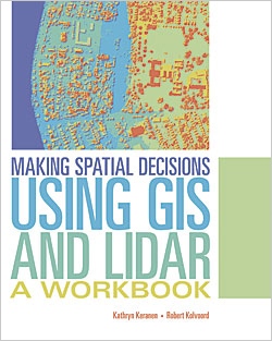
A new book published by Esri teaches how to use GIS to analyze and visualize lidar data.
An optical remote-sensing system, lidar uses a laser to measure topography, vegetation, objects such as buildings, and the ocean floor at some depths. Data collected from lidar can be used to create highly accurate elevation and terrain models.
Lidar is widely used because it can produce higher-quality results than traditional photogrammetric techniques more cost-effectively. ArcGIS has many tools for managing lidar point clouds and deriving information products.
Making Spatial Decisions Using GIS and Lidar: A Workbook is a college-level textbook for students and geospatial technology professionals. It assumes readers are familiar with lidar and have some experience using ArcGIS for Desktop. Its 10 learning modules focus on how to use the geospatial analysis tools in ArcGIS for Desktop with lidar data to answer questions and make informed decisions about real-world situations.
Exercises include determining how much land to excavate for an underground parking garage, locating cell phone towers for maximum signal coverage, placing solar panels based on the amount of solar radiation in an area, analyzing how a coastline has changed after a major hurricane, and making flood insurance rate maps based on hurricane inundation zones.
The workbook covers basic lidar data analysis techniques, 2D and 3D modeling, volumetric analysis, shadow maps, forest vegetation height analysis, and other lidar-related analyses.
Making Spatial Decisions Using GIS and Lidar: A Workbook is the third in the Esri Press Making Spatial Decisions series written by Kathryn Keranen and Robert Kolvoord. Keranen is an instructor at James Madison University in Harrisonburg, Virginia. Kolvoord is a professor of integrated science and technology at James Madison University. They also wrote Making Spatial Decisions Using GIS and Remote Sensing: A Workbook and Making Spatial Decisions Using GIS: A Workbook. Esri Press, 2015, 264 pp., ISBN: 9781589484290

