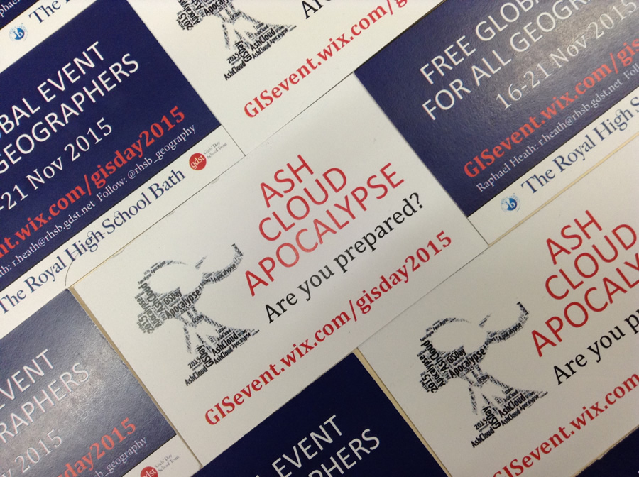
Giant cracks appear in the streets of London. Lava shoots from the fissures. Cars topple near Big Ben. Fires break out. “First signs of a mega eruption,” announces a promotional video for Ashcloud Apocalypse, an online disaster-risk mapping exercise that thousands of students in the United Kingdom and around the world will participate in this November.
The nightmarish scenario that unfolds (explosions in the London subway stations!) means that Raphael Heath, head of geography for The Royal High School, Bath, United Kingdom, plans to shake things up a little for GIS Day, November 18, 2015.
Heath concocted Ashcloud Apocalypse to teach students how to use geographic information system (GIS) technology to analyze disaster risks. The video shows a flair for the theatrical but, hey, mega volcanos exist and have occasionally erupted over the last several million years. Students will sit up and take notice when asked, in another Ashcloud Apocalypse video to “Use geography to survive. Use GIS.”

“The reason for the less-likely mega eruption event is partly to make the event dramatic and eye-catching,” Heath said in an email interview from Bath, west of London. “But because we are trying to develop a truly global event for geography students, [we needed] to identify an event which would have global consequences. It could have been an asteroid strike or perhaps a global pandemic, but the volcano scenario seemed to suit geographers more.”
More than 11,800 students around the world participated in Heath’s 2014 GIS Day World Record Event, a quality-of-life survey and mapping exercise. He hopes to repeat that success with Ashcloud Apocalypse, which Esri UKand the Girls Day School Trust will support. Esri ArcGIS technology will be used to collect and map data for the exercise, which is aimed mainly at 13- to 18-year olds (though anyone is welcome to join in).

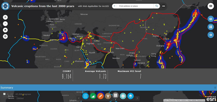
Here’s how the exercise works. Via an app available on Heath’s Ashcloud Apocalypse website, students enter information related to the risks they face from a mega volcano based on how far away they live from one. Using an Esri GeoForm web mapping application Heath provides, students enter the name of their hometown or postal code and then score risks from a geographic standpoint: How close do they live to one of the world’s mega volcanoes? The ash, gas, and lava spewing from one can be deadly. What’s their hometown’s elevation? The higher the elevation, the lower the temperatures will plummet because ash from the eruption could produce a volcanic winter. Other potential risks include traffic chaos, asthma problems, and a lack of emergency supplies.
The students will explore these and other risks using maps in ArcGIS. After all the participants submit their forms, the risk scores will be tabulated and appear on the final Apocalypse Risk Map.
Heath said he hopes that students will find the exercise enjoyable and educational.
“We wanted to get students to appreciate what GIS is and its fundamental value in addressing serious global issues and hazards,” Heath said. The students will be introduced to the concept of risk mapping and learn how multiple variables can be combined to form new spatial information. “In this case, [it’s] a composite risk index map,” he said.

The students will get some hands-on GIS experience. “[Ashcloud Apocalypse] taps into several fundamental GIS skills, including exploring data layers and merging data to help solve a spatial problem,” Heath said. “Also, the event was designed to showcase the extraordinary resources and capabilities of the ArcGIS family of tools including online maps, story maps, and other key web apps, which teachers and students can make use of in [the classroom]. Ultimately, I want students to appreciate that GIS is an important tool in solving critical and complex world problems.”
Heath received the Royal Geographical Society Ordnance Survey Award for Excellence in Secondary Education this year. Last year, he won the Esri UK Best Community Project Award for the 2014 GIS Day World Record Event.
He’s a passionate geographer and GIS user who also is happy to share a few tips with educators and GIS professionals who want to host a GIS Day program that’s both interesting and informative:
- Hook people with an eye-catching concept that is fun and playful
- Give people a chance to do hands-on, interactive GIS
- Surprise people with what can be done with GIS by showcasing its sophistication and beauty

“GIS Day is a chance to celebrate our passion for mapping and showcase to the world the dazzling, intricate beauty and relevance of maps,” Heath said. “GIS is a term which is poorly understood by those outside the profession, and we need to use high profile events to bring it into everyday vocabulary so that people understand the influence of spatial analysis to their daily lives and become more geographically literate.”
Heath asks teachers and others to register their Ashcloud Apocalypse events at his website. He will continue to add information about the exercise as GIS Day and Geography Awareness Week approach. Teachers in the United Kingdom, the United States, Brazil, Thailand, Canada, Australia, and several other countries have already signed up.
For more information about GIS Day, visit the GIS Day website. Follow GIS Day on Twitter @GISday or visit the GIS Day Facebook page.
