Two of the latest Esri Press books highlight the GIS trailblazers among us, real and fictional.
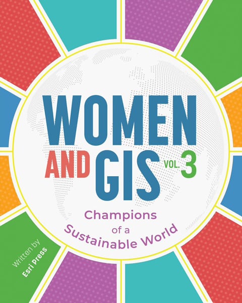
Women and GIS, Volume 3: Champions of a Sustainable World chronicles the stories of 31 diverse women from all over the world who have used geospatial technology while building successful careers in science, technology, engineering, and mathematics (STEM) fields.
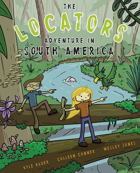
The new children’s book The Locators: Adventure in South America takes young readers on a mission that involves the use of maps, spatial thinking skills, and technology to save critical habitats and several endangered species.
Women and GIS, Volume 3: Champions of a Sustainable World
This collection of stories focuses on the lives and careers of 31 women who use GIS and other technologies, such as remote sensing and artificial intelligence (AI), to make the world a more sustainable and equitable place to live.
The women work in a wide variety of fields such as civil engineering, conservation, education, government, and GIS. They come from countries including Ghana, Guatemala, Scotland, Mexico, the Philippines, Syria, Canada, and the United States.
Each woman profiled talks about her passions in life as well as what inspired her to follow the career path she took, how she became interested in mapping and geospatial analysis, and how she uses GIS and other technologies in her work.

The women are curious, well-educated, well-traveled, and passionate about the work they do and the causes they care about. In several cases, they battled major obstacles and learned interesting new skills to get where they are today. For example, Fiona Becker, a conservation information manager for The Nature Conservancy, worked for six months as a National Marine Fisheries Service observer, identifying and counting fish aboard commercial fishing boats in the Bering Sea and the Gulf of Alaska. She later trained to be a wildland firefighter as she experienced success in her conservation career.
Maggie Cawley, currently the executive director of the nonprofit OpenStreetMap US, started her own geospatial company in 2013 and spent the next several years traveling and making maps—including one of a game preserve in Botswana.
According to the book, that experience helped solidify her belief that communities need access to free and open data. Her new job with OpenStreetMap US supports this passion.
“Without data, there are no maps,” Cawley said. “Without data, we can’t make informed decisions about our communities. Open data creates opportunities, fuels innovation, and encourages participation and diversity.”
In the book, many of the women talk about their struggles, ranging from dealing with instances of bullying to fighting and surviving pediatric cancer. Gabi Fleury, who as a child went through 21 rounds of chemotherapy, later became a conservationist, traveled and studied in South Africa and Kenya, and learned the R and Python programming languages.
“I never give up once I set a goal in mind, even when the going gets hard or I have to adjust, innovate, or change course to make it happen,” Fleury said.
The women also pass along pieces of inspirational advice to readers.
“Keep being curious and never stop learning new things,” said Miriam Gonzalez, who works for UP42, a developer platform and marketplace for geospatial data and analytics, based in Berlin, Germany. “Don’t be afraid to make mistakes—those mistakes will become great experiences, and you will laugh about them later.”
(Print edition ISBN: 9781589486379, $19.99; ebook edition ISBN: 9781589486386, $19.99)

The Locators: Adventure in South America
Join Lucy, Oliver, and Moe the Parrot on the adventure of a lifetime. They use maps, technology, and spatial thinking skills to extricate themselves from dangerous situations as well as devise plans to save habitats and several endangered species in South America.
The Locators: Adventure in South America tells the story of the trio’s mission to save the jaguar in the Amazon rain forest, the chinchilla in Chile, the Atlantic coastal forest in Brazil, and the giant tortoise in the Galapagos Islands.
Lucy and Oliver belong to a group of students organized by Professor Meridian. The group—called Locators—travel the world, solving problems that require geographic knowledge and critical-thinking and mapping skills.
Accompanied by their parrot pal Moe—who often supplies them with aerial imagery—Lucy and Oliver use digital maps and clues that Professor Meridian provides to do the following:
- Navigate South America
- Get out of treacherous jams, such as getting lost in the Amazon rain forest after crash-landing a small plane
- Locate the habitat of endangered species
- Analyze problems such as deforestation
- Devise conservation plans such as creating wildlife corridors for endangered animal species and planting trees to restore habitat loss
The story draws young readers into the adventure, using map activities that show them how to do things such as locate jaguar and chinchilla habitats and identify potential wildlife corridors as well as the best places to plant trees.
The book includes crossword puzzles; word scrambles; cryptograms; and a glossary to familiarize children with terms such biome, cartographer, coordinates, endangered species, leaching, aerial imagery, elevation, ecoregion, and scale. Each reader receives a Locator membership identification number when they finish the book.
The story will elicit plenty of laughs. Readers will enjoy the antics of Moe the Parrot as well as the mischief caused by a thieving golden lion tamarin (a small monkey) that steals Lucy’s computer tablet.
The authors of The Locators are Esri product engineer Kyle Bauer, who wrote the text; Esri corporate librarian Colleen Conner, who came up with the concept for the story; and Esri cartographer Wesley Jones, who illustrated the book.
(Print edition ISBN: 9781589484986, $12.99; ebook edition ISBN: 9781589485839, $12.99)

