What is the 30×30 Movement?
This story visually explains the goals of the 30x30 movement to protect and preserve 30 percent of the Earth’s land and water by 2030.
This story visually explains the goals of the 30x30 movement to protect and preserve 30 percent of the Earth’s land and water by 2030.
Stephen Bourne from Atkins talks about using city simulators to understand climate change impacts.
This ArcGIS StoryMaps app walks you through five strategic ways GIS can be used to respond to the changing climate.
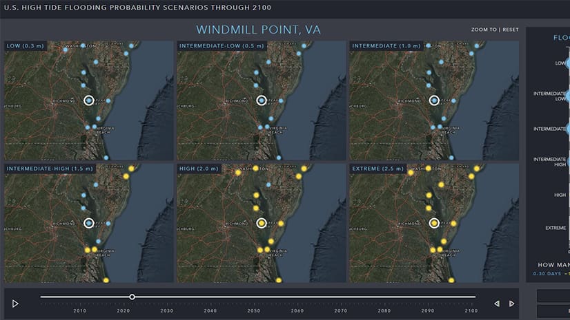
See where high tide flooding is probable over the next 80 years and how many flood days are expected annually with the High Tide Flooding App.
GreenBiz Group's Heather Clancy discusses how businesses can use technologies such as GIS and blockchain to create sustainable practices.
Former NASA astronaut Kathryn D. Sullivan talks about her experiences as both a space and maritime explorer.
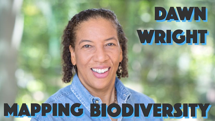
Sean O’Brien of NatureServe interviews Esri chief scientist Dawn Wright about oceanography and the Map of Biodiversity Importance.
Economist Jeffrey Sachs talks about the pivotal role advanced technologies can play in environmental sustainability and crisis resolution.
Esri president Jack Dangermond gave a talk at the 2020 Geodesign Summit about how science and geodesign can help create a sustainable future.