On Call in a Crisis
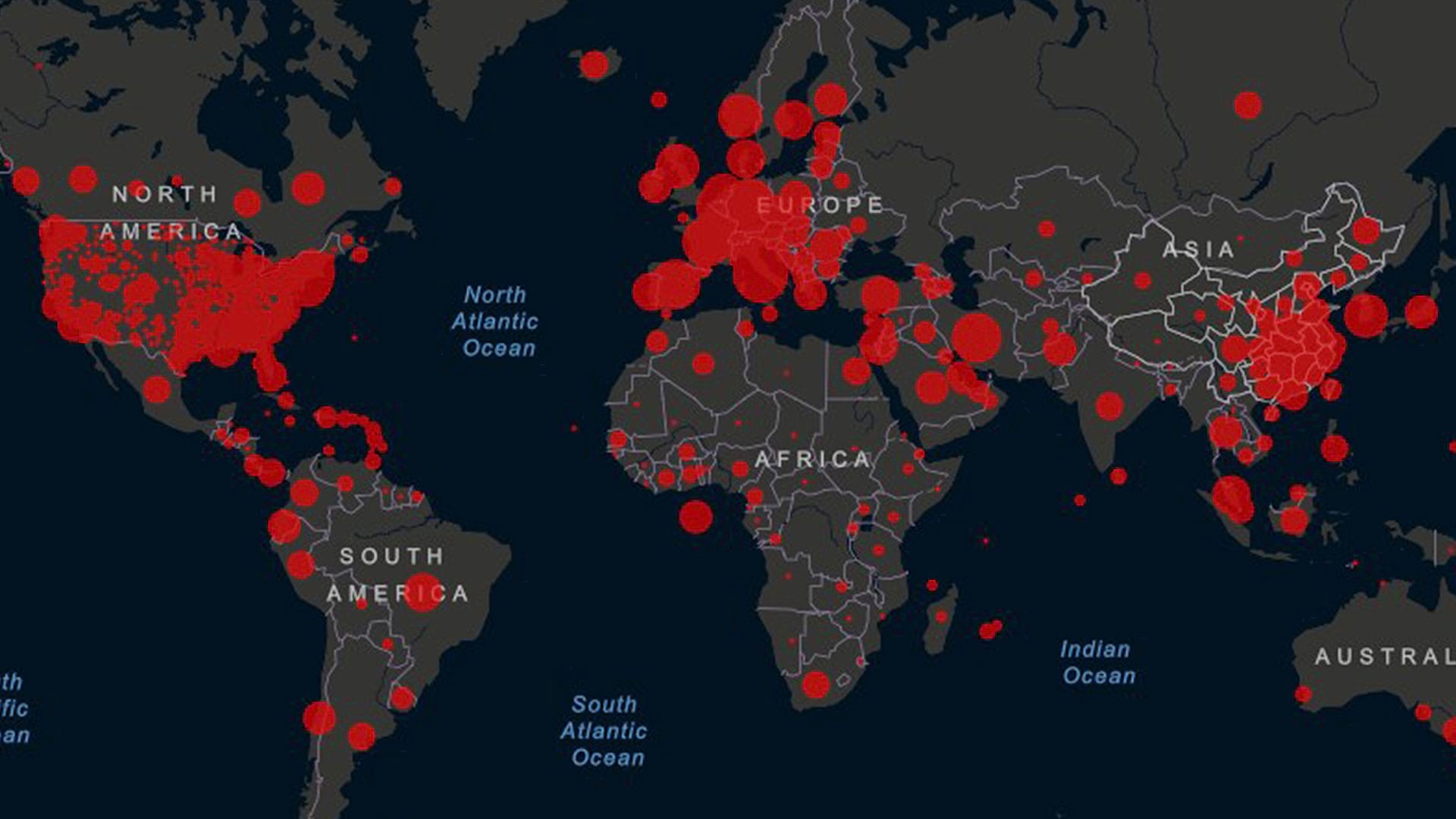
The Esri Disaster Response Program (DRP) offers technical support, data, and GIS solutions to organizations responding to the COVID-19 pandemic.
The Esri Disaster Response Program (DRP) offers technical support, data, and GIS solutions to organizations responding to the COVID-19 pandemic.
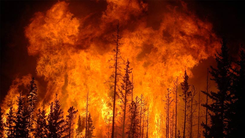
What GIS apps do fire agencies need to plan for and respond to incidents and then analyze performance?
Whether you need to find where the fewest Americans have health coverage or where a typhoon is heading, you can use GIS to get answers.
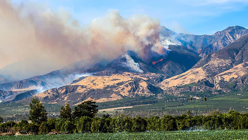
The Ventura County Fire Department in California used GIS to create maps of the Thomas Fire, providing valuable situational awareness.
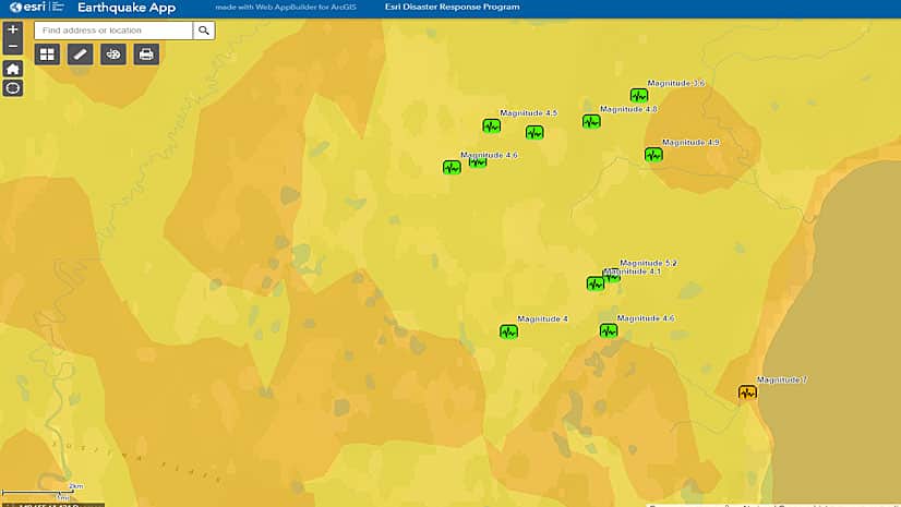
Visualize the recent earthquakes in Alaska with an app built with Web AppBuilder for ArcGIS.
Jared Shoultz of Esri turned to ArcGIS technology to guide his wife, a nurse, home from her job at a hospital after torrential rains brought...
Use these five maps to explore the damage caused by the magnitude 7.8 Nepal earthquake in April and subsequent relief efforts.